Download
1 / 19
210 likes | 570 Vues
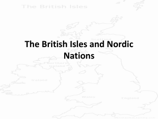
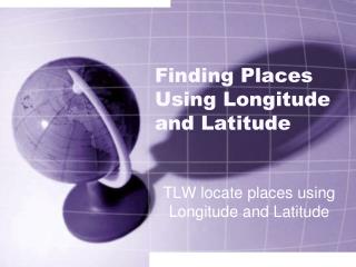
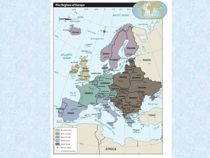
England Scotland Northern Ireland Wales Ireland Iceland Denmark Norway Sweden Finland. Atlantic Ocean Arctic Ocean Baltic Sea Gulf of Bothnia North Sea Norwegian Sea Celtic Sea. British Isles and Nordic Region Map Work (pgs 103, 107, 109). Label countries and capitals.

E N D
England Scotland Northern Ireland Wales Ireland Iceland Denmark Norway Sweden Finland Atlantic Ocean Arctic Ocean Baltic Sea Gulf of Bothnia North Sea Norwegian Sea Celtic Sea British Isles and Nordic Region Map Work (pgs 103, 107, 109) Label countries and capitals Label bodies of water Map quiz on Friday!!!
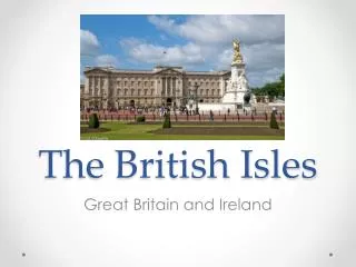
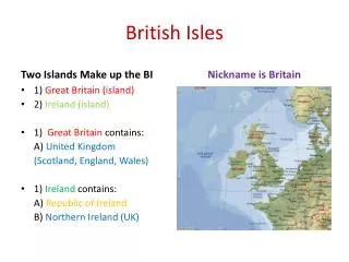
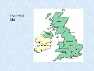
British Isles Geography • Make up of two island nations: Ireland and the United Kingdom. • The U.K. is made up of England, Scotland, Wales and Northern Ireland.
British Isles: People • First inhabitants were the Celts (pronounced with a K). • These people came to the islands about 3000 years ago.
British Isles Climate • Climate is temperate which means cool winters and hot summers. It does rain quite a bit. • The North Atlantic Drift of the Gulf Stream allows for warm water flow that keeps the islands warmer despite their location.
British Isles: Water • The English Channel separates the isles from the main land. There is a tunnel built under it so that people can actually drive to France. • The River Thames makes London a major port.
Nordic Region Geography • Five countries that make up the region are Iceland, Finland, Norway, Sweden, and Denmark.
North Atlantic Drift • Gulf stream flows around the British Isles and into the North Sea and along the Norwegian Coast. • This creates a moderate climate. • The winds that blow off the drift allow for cool summers and mild winters.
Important Vocabulary • Fjord=inlet with steep sides formed by huge glaciers • Scandinavian Peninsula= Norway, Sweden, and Finland
People of the Nordic Region • Vikings= warriors from the Nordic region that raided towns in Europe • Finland is different because it is a mixture of Swedish, Norwegian, and Russian ancestry.
Lapland • Area in Finland, Norway and Sweden that is north of the Artic Circle (above the 55 degree latitude line). • Samis= original inhabitants of this land.
Water in this region • Is a major way of transportation • The Gulf of Bothnia separates Finland and Sweden and is used to ship resources from one area to the other
Denmark: Peninsula • Surrounded by Germany, the North Sea and the Baltic Sea.
Iceland: Land of Fire and Ice • Two major landforms that make up this island are Volcanoes and Glaciers.
Ice • Glaciers are really just frozen rivers. They still move, just very slowly.
British Isles and Nordic Region History