Download
1 / 1
10 likes | 77 Vues
Necanicum Watershed. ES 341 By: Carlie Bulen & Rye Phillips. Introduction. General Geology. Watershed Location. Hydrologic Summary.

E N D
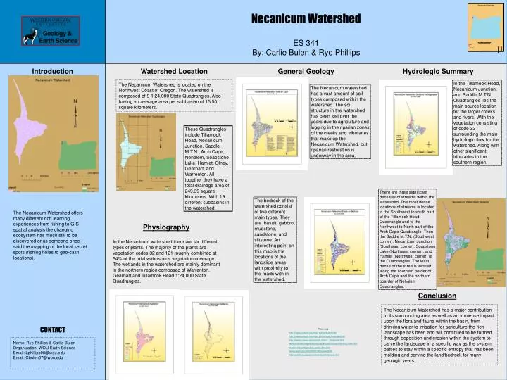
Necanicum Watershed ES 341 By: Carlie Bulen & Rye Phillips Introduction General Geology Watershed Location Hydrologic Summary The Necanicum Watershed is located on the Northwest Coast of Oregon. The watershed is composed of 9 1:24,000 State Quadrangles. Also having an average area per subbasian of 15.50 square kilometers. In the Tillamook Head, Necanicum Junction, and Saddle M.T.N. Quadrangles lies the main source location for the larger creeks and rivers. With the vegetation consisting of code 32 surrounding the main hydrologic flow for the watershed. Along with other significant tributaries in the southern region. The Necanicum watershed has a vast amount of soil types composed within the watershed. The soil structure in the watershed has been lost over the years due to agriculture and logging in the riparian zones of the creeks and tributaries that make up the Necanicum Watershed, but riparian restoration is underway in the area. These Quadrangles include Tillamook Head, Necanicum Junction, Saddle M.T.N., Arch Cape, Nehalem, Soapstone Lake, Hamlet, Olney, Gearhart, and Warrenton. All together they have a total drainage area of 249.39 square kilometers. With 19 different subbasins in the watershed. There are three significant densities of streams within the watershed. The most dense locations of streams is located in the Southwest to south part of the Tillamook Head Quadrangle and to the Northwest to North part of the Arch Cape Quadrangle. Then the Saddle M.T.N. (Southwest corner), Necanicum Junction (Southeast corner), Soapstone Lake (Northeast corner), and Hamlet (Northwest corner) of the Quadrangles. The least dense of the three is located along the southern border of Arch Cape and the northern boarder of NehalemQuadrangles. The bedrock of the watershed consist of five different main types. They are basalt, gabbro, mudstone, sandstone, and siltstone. An interesting point on this map is the locations of the landslide areas with proximity to the roads with in the watershed. The Necanicum Watershed offers many different rich learning experiences from fishing to GIS spatial analysis the changing ecosystem has much still to be discovered or as someone once said the mapping of the local secret spots (fishing holes to geo-cash locations). Physiography In the Necanicum watershed there are six different types of plants. The majority of the plants are vegetation codes 32 and 121 roughly combined at 54% of the total watersheds vegetation coverage. The wetlands in the watershed are mainly dominant in the northern region composed of Warrenton, Gearhart and Tillamook Head 1:24,000 State Quadrangles. Conclusion The Necanicum Watershed has a major contribution to its surrounding area as well as an immense impact upon the flora and fauna within the basin, from drinking water to irrigation for agriculture the rich landscape has been and will continued to be formed through deposition and erosion within the system to carve the landscape in a specific way as the system battles to stay within a specific entropy that has been molding and carving the land/bedrock for many geologic years. CONTACT • Resources • http://libweb.uoregon.edu/map/_section/search.html • http://libweb.uoregon.edu/map/_section/map_librarydata.html • http://libweb.uoregon.edu/map/gis_data/or_10mdemlist.html • www.osulibrary.oregonstate.edu/digitalcollections/gis/index/doq_index.html • www.or.nrcs.usda.gov/pnw_soil/or_data.html • www.oregon.gov/DAS/EISPD/GEO/index.shtml • http://seamless.usgs.gov/website/seamless/viewer.htm Name: Rye Phillips & Carlie Bulen Organization: WOU Earth Science Email: Lphillips08@wou.edu Email: Cbulen07@wou.edu