Download
1 / 32
320 likes | 503 Vues
New Directions in Seismic Hazard Assessment Through Focused Earth Observation in the M AR mara Super SITE. Nurcan Meral Ozel MARsite Project Cordinator-KOERİ. Importance Of Selected Sites As “Marmara Region”. O ne of highest seismic risk region in Europe !. Needs international effort!.

E N D
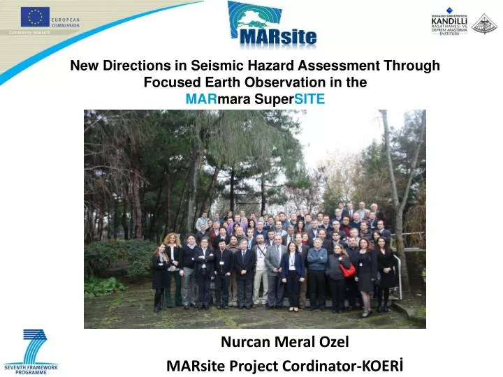
New Directions in Seismic Hazard Assessment Through Focused Earth Observation in the MARmara SuperSITE Nurcan Meral Ozel MARsite Project Cordinator-KOERİ
Importance Of Selected Sites As “Marmara Region” One of highest seismic risk region in Europe! Needsinternational effort!
Instrumental Infrastructure of Marmara Region Fully aware of this impending problem ! Need preparedness and mitigation of the risk!
The locations of Sea Bottom Observation System in the Marmara Region
New Directions in Seismic Hazard Assessment Through Focused Earth Observation in the MARmara SuperSITE Starting date: November 1, 2012 Duration: 3 years Managing Team: Nurcan Meral Ozel, KOERI, Turkey (Coordinator) Ocal Necmioglu, KOERI, Turkey (Coordinator Assistant) Meral Alguadis (Project Manager) EC Scientific Officer: Efthimios ZAGORIANAKOS, DG Deliverable: 61 Milestone : 7 Total budget: 7,769,608.60 EU funding: 5,965,286.45 EUR
MARsite Project • Will make available on-shore, off-shore and space-based observations, comprehensive geophysical monitoring, improved hazard and risk assessments. • Will collect multidisciplinary data, to be shared, interpreted and merged in models suitable for the implementation of good practices to provide the necessary information to the end users. • Will represent a significant European contribution to the Supersite initiative and thus to the Global Earth Observation System (GEOSS).
MARSite’s Strategic Objectives MARsiteidentifies a number of objectives that drive its implementation, the definition of the activities and the composition of the consortium. The MARsite strategic objectives are to: • Achieve long-term hazard monitoring and evaluation by in-situ monitoring of: earthquakes, tsunamis, landslides, displacements, chemical-radioactive emission and other physical variables and; by the use of space-based techniques. • Improve existing earthquake early-warning and rapid-response systems by involving common activities, participants, competences, knowledge and experts from Europe. • Improve ground shaking and displacement modelling by development/updating of source models and the use of probabilistic and deterministic techniques with real-time and time-dependent applications. • Contribute scientific and technical innovation by including state-of-the-art R&D in developing novel instruments and instrumentation.
MARSite’s Strategic Objectives . • Interact with end users and contribute to the improvement of existing policies and programs on preparedness, risk mitigation and emergency management. • Build on past and on-going European projects by including their contributions and principal partners, avoiding duplication and using their successes and momentum to create a better understanding of geo-hazards. • Complement actionsin EPOS, EMSO,GMESinitiativesand in the GEO Work Programme 2012-2015.
Time Series Parametric Data
WP3-Long-term Continuous Geodetic Monitoring of Crustal Deformation (S.Ergintav Tubitak) Objectives Long-term continuous monitoring of the crustal deformation will be investigated by exploiting the existing land and space based geodetic crustal deformation monitoring systems
WP-4: Establishment of Borehole ObservationSystem and High Resolution Seismic Studies in the Marmara Sea (Istanbul University) Objectives A multi-parameter borehole system and surface array as closest as to the main Marmara Fault in the western Marmara Sea will be installed to measure continuously the evolution of the state of stress of the fault zone surrounding the MMF and to detect any anomaly or change which may occur before earthquakes by making use of the data from the arrays already running in the eastern part of the Marmara Sea
Boreholeseismometers &Surfacemicroearthquake array Very wide dynamic range and stable borehole (VBB) broad band seismic sensor, designed and manufactured 3D strain meter, tiltmeter, temperature and local hydrostatic pressure measuring devices in a 100m-deep borehole.
Objectives An integrated approach by harmonizing geodetic and seismic data to be used in early warning applications will be implemented, so that in addition a quick determination of the rupture characteristics could also assist the identification of the tsunamigenic potential of an earthquake in combination with a tectonic origin tsunami scenario database.
Objectives The aim of WP6 is to improve the preparedness of those seismically induced landslide geohazards, through the using and the improvement of monitoring and observing systems in hydrogeotechnical and seismically well-constrained areas within the supersite
Objectives • To generate a GIS database and relevant bibliography on the evolution of the North Anatolian Fault from an earlier shear zone in and around the Sea of Marmara; • To synthesise all data to prepare an active fault map of the Sea of Marmara with appropriate explanation of nature, age, distribution of deformation and history of activity of the fault population; • To evaluate the earthquake history of the Sea of Marmara and surrounding region that is important in both predicting future events and seismic risk assessment in Istanbul and the Marmara region
WP-8: Monitoring seismicity and fluid activity near the fault using existing cabled and autonomous multiparameter seafloor instrumentation(IFREMER, L.Geli) Objectives implement an integrated approach based on multiparameter seafloor observatories,to continuously monitor the micro-seismicity along with the fluid expulsion activity within the submerged fault zone. Monitoring seismicity and fluid activity near the fault using existing cabled and autonomous multiparameter seafloor instrumentation will be performed
WP-9: Early Warning and Development of the Real-time shake and loss information (KOERI) Objectives Improve the existing earthquake early warning (EW) and rapid response (RR) systems in the Marmara Region (Istanbul) with the addition of a pilot landslide monitoring and EW system and introduction of new space technologies for monitoring and assessment of vulnerabilities
Objectives Concernsimproving access to the wider community, outside the project consortium, ofthe data products and results of the project. This improved access concerns both dissemination of projectresults and conclusions to the general public and concerned stakeholders and also facilitating data access for the technical community
Integration of Data ManagementPractices and Coordination WithOngoing Research Infrastructures
Objectives Concerns the dissemination of the project results to a wider community in general. Thesingle task of this WP will be in charge of dissemination to the general public through, for example, printedbrochures and the project website and also the development of dissemination materials to help in interactionswith interested stakeholders in the Marmara Sea region, e.g. the Istanbul municipality.
NEW SEA FLOOR OBSERVATION INFRASTRUCTURE WILL BE ESTABLISHED DURING SATREP PROJECT
MARSite’s Contribution to the Implementationof GEOSS and the GEO Tasks • "lead to better scientific understanding of the geophysical processes" (Supersite Strategic Plan) • "contribute in-situ data to a unifying e-infrastructure" (Supersite Strategic Plan) • "broaden our knowledge about geological extreme events" (Supersite White Paper) • "reduce our vulnerability to geologic hazards" (Supersite White Paper) All the above is aimed at eventually: • "Mitigation of geological disasters" (Supersite Strategic Plan) • "Informing Risk Management and Disaster Reduction” • "Improved use of observations and related information to inform policies, decisions and actions associated with disaster preparedness and mitigation." (GEOSS Strategic targets) • "Support to the successful implementation of the Hyogo Framework for Action 2005-2015" (GEOSS Strategic targets)
MARSite’s Contribution to the Implementation of GEOSS and the GEO Tasks • MARSite adopted the GEOSS philosopy and assigns special emphasis to the interoperability of the data and the results. • WP10 as a dedicated work package to Data Integration is tasked with the liasion with the ongoing projects (such as Supersites initiatives) and will seek to reach agreements concerning standards. • MARSite will define rules based on the recommendations defined in the Architecture and Data Committe of GEOSS to build and open architecture able to include new data providers, sensor information and services
Build on past and on-going European projects and complement actions by including their contributions and principal partners, avoiding duplication and using their successes and momentum to create a better understanding of geo-hazards. supersites
Thank you yThank you... Boğaziçi UniversityKandilli Observatory and Earthquake Research Institute KOERI