Download
1 / 18
180 likes | 536 Vues
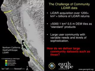
LiDAR coverage of the southern San Andreas and San Jacinto faults ... developed by GEON to offer online data distribution, DEM generation, and ...

E N D
3. The Challenge of Community LiDAR data cont. National LiDAR Initiative
Rough calculation using a NASA high
elevation acquisition approach:
Land area of US = 9,161,923 sq km
Assuming:
2 laser pulses per sq meter
an average of 1.5 returns per pulse
35 data bytes per return
= 1 x 10
15 bytes of point cloud data
= 1 petabyte (1,000 terabytes)
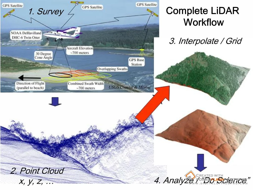
5. The Vision: Utilize cyberinfrastructure developed by GEON to offer online data distribution, DEM generation, and analysis of large LiDAR datasets.
Completely internet-based workflow:
Point cloud to visualization
Utilize modular web services to complete a variety of processing and analysis tasks.
Offer users control of processing and analysis parameters.
7. Current GLW Status Datasets online:
Northern San Andreas Fault
West Rainier Seismic Zone
E. California Shear Zone (Mike Oskin, UNC, PI)
4. Full B4 Dataset (Southern SAF and SJF)
Total of ~6.4 billion LiDAR returns available via GLW
Use Statistics
~43 billion returns processed
2103 unique jobs submitted
118 registered GLW users