Download
1 / 22
340 likes | 1.12k Vues
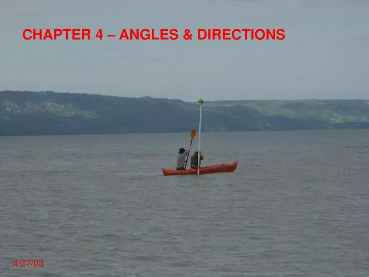
CHAPTER 4 – ANGLES & DIRECTIONS. 4/27/03. Read Kavanagh Ch. 4 Angles and Directions. Read all of chapter 4. 4.1 Horizontal Angle Review Horizontal angle is the angle in the horizontal plane, even if measured from uphill point to downhill point, etc.

E N D
CHAPTER 4 – ANGLES & DIRECTIONS 4/27/03
Read Kavanagh Ch. 4 Angles and Directions Read all of chapter 4. 4.1 Horizontal Angle Review Horizontal angle is the angle in the horizontal plane, even if measured from uphill point to downhill point, etc. Common methods of measuring horizontal angles = transit, theodolite, total station. Can also lay out angles by taping or measuring distances (trilateration). Horizontal angles have a direction or sense: L or R, clockwise or counterclockwise Common angles: angles to right, interior angles, deflection angles (L or R)
4.2 Directions of lines Horizontal directions must be tied to a fixed line of known or assumed direction defined as a reference meridian. There are four basic types: 1. Astronomic meridian = true meridian = geographic meridian = points to North pole = line of longitude 2. Magnetic meridian = direction of a magnet = points to magnetic north pole = varies with location 3. Grid meridian = parallel with central meridian of a State Plane Coordinate System 4. Assumed meridian In the field, horizontal directions and angles are determined relative to a line of known or assumed direction called a baseline.
Bearings = angle of a line from N or S reference meridian; always < 90E
Azimuth = angle measured clockwise from any reference meridian (usually from N); ranges from 0E to 360E
4.3 Reference meridians Astronomic Meridian Magnetic Meridian (Magnetic North) Declination = horizontal angle between direction of a compass needle and true (geographic) north
4.4 How to read a compass Procedure for determining directions: 1) Set local declination 2) Sight on object 3) Rotate compass housing to center magnet in housing’s N arrow
4.5 Direction calculations Reverse Directions Reverse Bearings Reverse Azimuths
Azimuth Computations Rules: • If the computation is proceeding in a counterclockwise manner, add the interior angle to the back azimuth of the previous course to obtain the azimuth of the next course. • If the computation is proceeding in a clockwise manner, subtract the interior angle from the back azimuth of the previous course to obtain the azimuth of the next course. If the bearings of the sides are also required, they can now be derived from the computed azimuths.
Bearing Computations Approaches: • There is no systematic approach! To avoid mistakes, show diagrams! • You may also convert to azimuths, and then apply azimuth rules.
Magnetic declination computations Example: Retrace an old magnetic bearing A magnetic bearing of N 15E40’ E was recorded on a lot line survey dated January 1, 1903. The bearing represented the direction from the property corner Pt. A to the property corner at Pt. B. On June 1, 2003, you find Pt. A, and want to find Pt. B. What compass bearing should you use to find Pt. B? The location of the survey is shown on the following isogonic map. B A
Survey location 1985 Isogonic Map
Survey "calls" = statement of direction and distance Example of Bearing + Distance call: N 01E13'24" E 213.46' Basis of bearing or basis of azimuth must be known To be able to determine a call, you must have a base line Base Line = survey line between two known points used as a reference line for the rest of the survey or map area
4.6 Angles by Measured Distances (Trilateration) Trilateration = method of computing angles by measuring distances “3-4-5 Method” Laying out a building: Match the diagonals Trigonometric Relations 1) Law of Sines 2) Law of Cosines These two equations can be used to solve just about any soluble geometric problem. Other “methods” are just special cases of these two equations.