Download
1 / 1
10 likes | 153 Vues
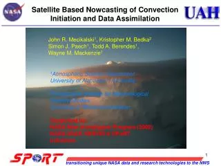
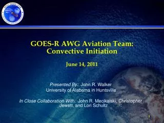
Convective Initiation Nowcasting for Aviation. PI: John R. Mecikalski. GOES Satellite-based 0-1 hour forecasts predict convective thunderstorm and first-flash lightning initiation. Used by Flight Control Centers to guide airline traffic.

E N D
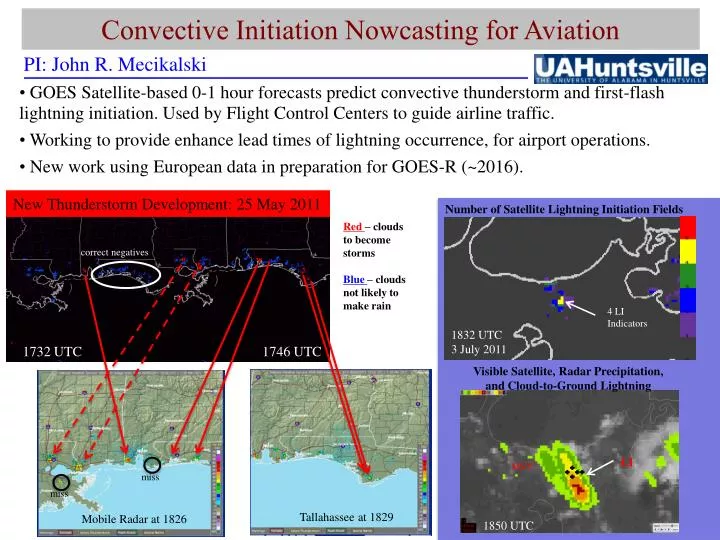
Convective Initiation Nowcasting for Aviation PI: John R. Mecikalski • GOES Satellite-based 0-1 hour forecasts predict convective thunderstorm and first-flash lightning initiation. Used by Flight Control Centers to guide airline traffic. • Working to provide enhance lead times of lightning occurrence, for airport operations. • New work using European data in preparation for GOES-R (~2016). correct negatives Number of Satellite Lightning Initiation Fields New Thunderstorm Development: 25 May 2011 Red – clouds to become storms Blue – clouds not likely to make rain 1746 UTC 1732 UTC 4 LI Indicators 1832 UTC 3 July 2011 Visible Satellite, Radar Precipitation, and Cloud-to-Ground Lightning MSY LI miss miss 1850 UTC Mobile Radar at 1826 Tallahassee at 1829