Download
1 / 34
340 likes | 485 Vues
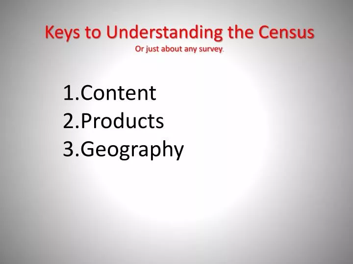
Keys to Understanding the Census Or just about any survey . Content Products Geography. Why Geography is Important. Katy Rossiter , Geographer, US Census Bureau

E N D
Keys to Understanding the CensusOr just about any survey. Content Products Geography
Why Geography is Important • Katy Rossiter, Geographer, US Census Bureau • Geography is at the heart of taking a census. The U.S. Census Bureau is tasked with counting everyone in the United States once every ten years, but we do not just count people; we count people where they live.
Statistical Areas Examples: Census county divisions Census designated places Census tracts Metropolitan and micropolitan statistical areas Urban areas Public Use Microdata Areas Traffic Analysis Zones Census Geographic Concepts
Census Geography and AFF2 • Geography may be the most improved area of the new AFF.
Legal/Administrative Areas Examples: States Counties Minor civil divisions Incorporated places Congressional districts Legislative areas School districts Census Geographic Concepts
Census county divisions (CCDs) CCDs exist where: • There are no legally established MCDs. • The legally established MCDs do not have governmental or administrative purposes. • The boundaries of the MCDs change frequently. • The MCDs are not generally known to the public.
Minor civil divisions (MCDs) are the primary governmental or administrative divisions of a county in many states (parishes in Louisiana) and the county equivalents in Puerto Rico and the Island Areas.
Minor civil divisions (MCDs) * Tennessee, a CCD state in 2000, reverted to a MCD state in 2008
Minor civil divisions (MCDs) • In nine states—Maine, Massachusetts, New Hampshire, New Jersey, North Dakota, Pennsylvania, Rhode Island, South Dakota, and Wisconsin—all incorporated places are independent places
Minor civil divisions (MCDs) • The MCDs in 12 states (Connecticut, Maine, Massachusetts, Michigan, Minnesota, New Hampshire, New Jersey, New York, Pennsylvania, Rhode Island, Vermont, and Wisconsin) also serve as general-purpose local governments that can perform the same governmental functions as incorporated places. The Census Bureau presents data for these MCDs in all data products for which place data are provided
The Usual Suspects Wisconsin Dane County Madison MSA Census Tracts Madison, WI Urban Area Place: Madison City Block Groups Blocks
Places • Incorporated Places • Legally bounded entity • Referred to as cities, boroughs, towns, or villages, depending on the state • Census Designated Places (CDPs) • Statistical entity • Created to present census data for an area with a concentration of population, housing, and commercial structures that is identifiable by name, but not within an incorporated place • Example: Columbia, MD; Paradise, NV