Download
1 / 20
200 likes | 288 Vues
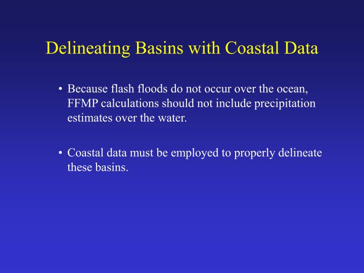
Delineating Basins with Coastal Data. Because flash floods do not occur over the ocean, FFMP calculations should not include precipitation estimates over the water. Coastal data must be employed to properly delineate these basins. Delineating Basins with Coastal Data.

E N D
Delineating Basins with Coastal Data • Because flash floods do not occur over the ocean, FFMP calculations should not include precipitation estimates over the water. • Coastal data must be employed to properly delineate these basins.
Delineating Basins with Coastal Data Basins and streams derived from the DEM without additional coastal data.
Delineating Basins with Coastal Data The NHD ocean/waterbody shapefile is used to mask out areas of the DEM over the ocean.
Delineating Basins with Coastal Data The new DEM-derived basins and streams extend no further than the coast as outlined by the NHD. This version will yield more accurate FFMP calculations.
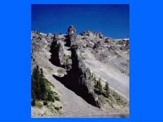
Closed Basin and Natural Sink Processing • As part of the delineation process, the DEM is filled so all flow drains out of an area. • In the real world, naturally-occurring sinks and closed basins (basins without an outlet) exist. • The closed basin processing techniques developed at the EROS Data Center result in delineated basins that are closer to reality in these areas.
Closed Basin and Natural Sink Processing The Summer Lake closed basin (17120005) in Oregon with NHD stream lines and water bodies overlaid.
Closed Basin and Natural Sink Processing The delineated stream lines before closed basin processing are clearly erroneous.
Closed Basin and Natural Sink Processing From the filled DEM, flat areas (areas of constant elevation) are identified and sink polygons are defined.
Closed Basin and Natural Sink Processing Based on the NHD stream lines and water bodies, points are selected as "sink outflow" locations. At these points, the DEM grid cell will be assigned a "no data" value so all surrounding drainage will be directed toward this point. Thus, a natural sink is emulated.
Closed Basin and Natural Sink Processing The delineated stream lines after closed basin processing more closely resemble the actual flow patterns into the sinks.
Closed Basin and Natural Sink Processing Before Closed Basin Processing After Closed Basin Processing
Difficulties Encountered During Delineation Streamflow Reversed Because an adequate buffer of DEM data was not available along the U.S./Canada border, the streamflow was reversed in several instances. Possible Solution: Redelineate and burn in the NHD stream network.
Difficulties Encountered During Delineation HUC 13090002 absorbed into adjacent HUC 12110208 Very small HUCs or HUCs over water may have been absorbed or included in with other HUCs in the NED delineation. Possible Solution: None necessary unless you have operations strictly tied to the original HUC basins.
Difficulties Encountered During Delineation Because the NED is a dynamic data set, various tiles were updated during the course of the delineation project. If adjacent HUCs were processed with NED tiles from two different dates, the delineations along the shared boundary may differ. This results in small gaps or overlapping sliver polygons.
Difficulties Encountered During Delineation Overlapping Sliver Polygon 0.25 mi2 Generally, these are very small in area (on the order of several grid cells). The largest gap shown here is only 0.25 mi2. Shown above, gaps and/or overlapping sliver polygons may exist.
Difficulties Encountered During Delineation Although some gaps and overlapping sliver polygons may coincide with radar bins, their small areas make this an infrequent occurrence. Possible Solution: Redelineate basins with the most current NED tiles. However, redelineation of these HUCs may create the need for redelineation of surrounding HUCs as well.
Difficulties Encountered During Delineation Disconnected Stream Lines Occasionally, errors in the NED data or natural occurrences such as bifurcated streams translate to significant problems in the delineation. For example, an erroneous elevation value(s) can result in misrouted or disconnected streams. Possible Solution: Correct the erroneous NED value(s) and redelineate.
Difficulties Encountered During Delineation Flat areas along the coastal regions often result in strange delineations.
Difficulties Encountered During Delineation These basins often occur in areas defined as swamp/marsh. Possible Solution: In addition to masking out ocean areas, mask swamp/marsh areas out of the DEM and redelineate.
When to Consider Redelineation Basins should be redelineated if: • improved DEM data becomes available, • it is necessary to make basin calculations at a specific point (for example, at a stream gage), • it is necessary to eliminate sliver polygon gaps and overlaps that may exist between HUCs • it is necessary to eliminate large swamps and marshes, or • it is necessary to "burn in" stream lines (such as those in the NHD) to improve delineation results. Note: You must have the Spatial Analyst Extension to delineate basins. Please contact Ami Arthur at NSSL (Ami.Arthur@noaa.gov) if you have a redelineation request.