Download
1 / 26
260 likes | 470 Vues
Chapter 3. Population. Introduction. Late 1700’s Thomas Malthus warns of the growing population in Great Britain. He issued warnings of massive famine and widespread suffering. Although it did not take hold in England, his predictions would follow suit in the growing world. Focus of Chapter.

E N D
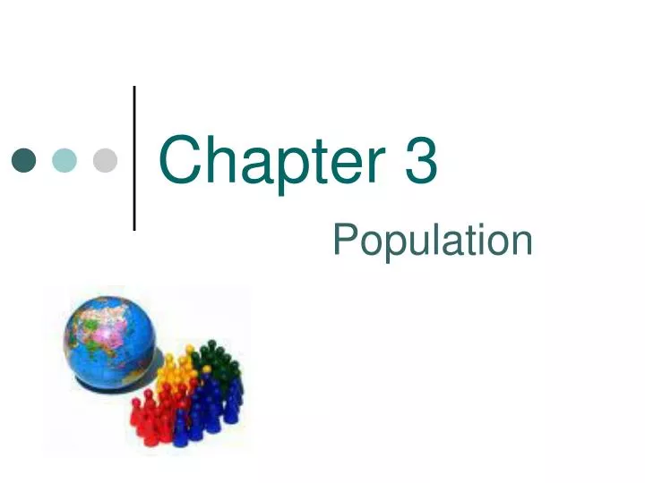
Chapter 3 Population
Introduction • Late 1700’s Thomas Malthus warns of the growing population in Great Britain. He issued warnings of massive famine and widespread suffering. Although it did not take hold in England, his predictions would follow suit in the growing world.
Focus of Chapter • Where? • Geographers 1st study population problems by describing where people are found across Earth’s space. • = population distribution • 2nd issue is the places where population is growing • Why? • 3rd issue is why populations are growing at different rates in different places • 4th issue = overpopulation?
Demography • Definition: • Study of the characteristics of human populations • Censuses • Definition: straightforward count of the number of people in a country, region, or city. • Not usually simple • The #’s are important, they determine government funding • Limitations • Expensive, labor • Undercounts • Many protest that not all of the population is counted – homeless • India- biometric census • Most nations repeat every 10 years • U.S. since 1790 • 1985- quinquennial (5 years) • Vital Records • report: • Births, deaths, marriages, divorces, and certain infectious diseases • Collected at all levels • Other organizations • WHO, Immigration Bureau
Key Issue 1:Where is the world’s population distributed? • Important because: • More people are alive! • World’s population is increasing at a faster rate • Almost all the population growth is located in LDC’s • POP CLOCKS • If distributed evenly, the world’s population density would be 108 persons per square mile. • Greenland= .1 per square mile • Bangladesh= 2300 per square mile • World Population – • 7 billion!!! • About 77 million per year since 1990 • China and India = 38% of world pop
Population Distribution • Degree of accessibility, topography, soil fertility, climate and weather, water availability and quality, and type and availability are some factors that shape population distribution. • A country’s political and economic experiences and characteristics can shape the population as well. • Ex. Brazil’s high pop concentration along the coast dates back to the Portuguese control in the 16th and 17th centuries. • Another important factor is culture as expressed in religion, tradition, or historical experience • Example: Mecca/ Medina • Population clusters • All world’s inhabitants live on 10% of land • Most live near edge of landmasses, near water • 90% live North of the equator • Most of world’s pop lives in temperate, low-lying areas with fertile soils • Asia most populated continent • 2nd = Africa • 3rd= Europe
Continent # in millions Total % • Asia 4,216 60% • Africa 1,051 15% • Europe 740 11% • L. America 596 8.5% + Caribbean • N. America 346 5% • Oceania 37 .05% Sub-Saharan Africa is fastest growing population in the World!
Population Concentrations • 2/3rds of the world’s population clustered in four regions! • East Asia • South Asia • SE Asia • Europe • All four regions have: • An ocean or river nearby • Low-lying areas • Fertile soil and average climate • In the Northern Hemisphere • Between 10 degrees and 55 degrees North
East Asia • 1/4th of world’s population • Region includes: • Border to Pacific Ocean • Eastern China • Japan • Korean Pensinsula • Taiwan • 5/6ths live in People’s Republic of China • Clustered near Pacific Ocean • Distribution • Japan and South Korea • 40% live in 3 larges Metro areas : • Tokyo, Osaka, Seoul • Only 3% land area
South Asia • Most are farmers, live in rural areas • Region contains 18 urban areas • Only 1/4th urban population • Two physical barriers: • Himalayas • Taklimakan Desert confine the growing population. • There is more pressure on the land in this region due to high densities! • 1/4th world’s population • Region includes: • India • Contains 3/4th of South Asia Pop. • Pakistan • Bangladesh • Sri Lanka • Largest concentration of people in 1,500 mile corridor from Lahore, Pakistan to the Bay of Bengal • Indus/ Ganges River plains • Also coastline
Southeast Asia • 600 million people • Mainly islands -including Java (4th most populous) - 100 million people • High Percentage of people live in rural areas along river valleys and deltas.
Europe • 1/9th the world’s population • Four dozen countries • Monaco to Russia • 3/4th live in cities or metro areas • Less than 10 % farmers • Dense network of roads/ rail lines • Highest population near industry • Coalfields
Other Population Clusters • Western Hemisphere • Northeastern U.S. + Southeastern Canada • 2% of world’s population • Mainly urban • West Africa • South-facing Atlantic coast • ½ of population concentration in Nigeria • Africa’s most pop. Nation • Work in agriculture • 5 urban areas
Sparsely Populated Regions • Ecumene • portion of the earth’s surface occupied by permanent settlement • Areas once considered too harsh to live has diminished and ecumene increased • 7,000 years ago population clustered in River Valleys • 500 years ago North America outside of ecumene • Ecumene today • 3/4ths world population lives on only 5% of earth’s surface • Oceans 71%
Dry Lands • 20% of earth’s surface too dry for farming • Largest desert region: • North Africa to Southwest and Central Asia • Sahara, Arabian, Thar, Takla Makan, and Gobi • Not enough water to sustain a population/ crops BUT: • Adaption = camels • Irrigation systems • Natural resources • oil
Wetlands • Located primarily near equator • Between 20 degrees North and South latitude • Rainfall averages more than 50 inches per year • Most receive 90 inches + • Combination of heat and rain rapidly depletes soil of nutrients • Seasonally rainfall = more agriculture
Cold and High Lands • Cold Lands • Near North and South poles • Massive ice coverage • Less precipitation but snow/ice piles up over time • Unsuitable for crops/ humans/ animals • High Lands • High elevations • Usually steep, snow-covered • Example: Switzerland • ½ of land above sea level • Only 5% live there • Exceptions: • Latin America • Mexico City • Africa
Population Density • Definition: • A numerical measure of the relationship between the number of people and some other unit expressed as a ratio • Several ways to determine Population Density • Arithmetic (Crude) • Physiological/ Agricultural • Helps geographers describe distribution of people in comparison to available resources.
Arithmetic Density • Definition • Total # of objects in an area • Total # of people divided by total land area • Example: United States • 310 million people / 3.7 million square miles = • 84 people per square mile • Example: Bangladesh = 1,127 ppsm • used to compare conditions in different countries • enables geographers to compare # of people trying to live on a given piece of land in different regions of the world • One dimensional • Tells us very little for about the variations in the relationship between people and land
Problems with Arithmetic Density • Arithmetic Density does not always accurately portray population distribution. • Example: Egypt had a population of 73.3 million in 2004, and an arithmetic density of 190 per square mile. However, 98% of the population lives on only 3% of the land making the density meaningless.
Physiological Density • Definition: • # of people per area of arable of land in a region • Example: United States • Physio density of 175 ppsm of arable land • Example: Egypt • Physio density of 2,296 ppsm • the higher the physio density, the greater the pressure that people may place on the land to produce enough food • insight to the relationship between size of population and availability of resources in a region
Agricultural Density • Definition: • ratio of farmers to the amount of arable land • Measures economic differences • MDC’s/ Core nations have LOW agricultural density because of technology. • Putting Agricultural and Physiological densities together allows you to look at the relationship between population and resources • Example: Netherlands vs. Bangladesh • Both have high physiological densities • Dutch have low agricultural density • What does this mean? • both put pressure on land but Dutch utlizes less famers
Population Composition • Another way to explore population patterns of distribution • Looks at subgroups: • # of males/ females • # senior citizens/ children • # active in workforce/ not active • Addresses challenges • Baby booms • Aging population • Women of childbearing age • Understanding population composition not only tells us about future demographics of regions but also is useful for the present • Geodemographic analysis • Definition: assessing the location and composition of particular populations