Download
1 / 27
270 likes | 393 Vues
2012 ROMS/TOMS User Workshop. Long-Term Oceanographic Measurements in Brazil : Characteristics and Perspectives. Rogério Candella IEAPM. Long-Term Oceanographic Measurements. PIRATA Program (Pilot Research Moored Array in the Tropical Atlantic)

E N D
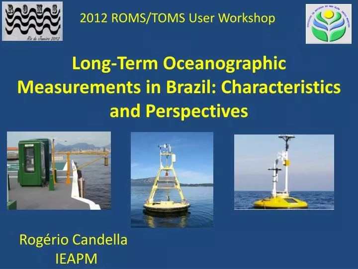
2012 ROMS/TOMS User Workshop Long-TermOceanographicMeasurements in Brazil: Characteristicsand Perspectives Rogério Candella IEAPM
Long-TermOceanographicMeasurements • PIRATA Program (Pilot Research Moored Array in the Tropical Atlantic) • About 16 buoys in the equatorial region • In the southeastern Atlantic portion • Long time series only for sea level • One long time series for sea temperature (not collected for scientific purposes)
Temperature of water used for cooling machinery of the Companhia Nacional de Álcalis, Arraial do Cabo, RJ
Sealevelmeasurements • - Oldeststation still in activity – Cananéia/SP since 1954 • - Longestcontinuous series – Cananéia/SP from 1954 to 1995 • - Improvementdata quality → Progam GLOSS-Brasil
-Currently, 17 tidestations, 11 fromotherinstitutionsthantheBrazilianNavy. • Ilha Fiscal • From 1955 to 2007 → analogicalgauge • From 2007 tonow → radar basedtechnology
Ponta do Céu – AP • Amazon River • Radar basedgauge
Digital Gauges • - Ultrasonic • - Radar
High Frequency Meteorological Effect – Meteotsunami September 2002
PNBOIA (OceanographicBuoyNationalPlan) Four (three) fixedbuoysoperating. Freeaccessto data http://www.mar.mil.br/dhn/chm/meteo/prev/dados/dados.htm Two more buoysdeployed (northeastcoast). Two more buoystobelaunched in thenextyear. Program in a verybeginningstage. Problemswithdepredationandlogistics.
PROGRAMA GOOS –BRASIL: Brazilian System ofOceanandClimateObservation GOSS– Sistema Global de Observação dos Oceanos MooredBuoy ATLAS GLOSS – Global SeaLevelObserving System ISABP InternationalSouthAtlanticBuoyProgram DBCP Data BuoyCooperationPanel 06 tidegauges 59 driftingbuoys 08 ATLAS buoys 03 Axys 3M buoys DirftingBuoy GTMBA - Global Tropical MooredBuoyArray MooredBuoy3M
SIODOCEnvironmental Data Collection for the Defense Project Deployment of a meteo-oceanographic buoy fully equipped. 60-m depth, in the upwelling area of Arraial do Cabo. Free access to data
Conclusions • Very few long-time oceanographic series in the Western South Atlantic, turning unfeasible comparisons with climatological results from models. • Some new attempts to fill this gap, but still in early stages. • Main problems related to logistics, depredation and maintenance. • Results can be used to indicate anomalous events, which could be explained in other spatial scales, by numerical modeling.
Thank you for your attention rcandella@gmail.com