Download
1 / 78
780 likes | 978 Vues
Agenda. An Overview on Radio Frequency Spectrum World Division on Frequency Allocation International allocation Table/ frequency allocations to services Radio Regulations (ITU-R RR) Coordination and notification procedures National Frequency allocation Table

E N D
Agenda • An Overview on Radio Frequency Spectrum • World Division on Frequency Allocation • International allocation Table/ frequency allocations to services • Radio Regulations (ITU-R RR) • Coordination and notification procedures • National Frequency allocation Table • Frequency assignment and Licensing • Spectrum Management System For Developing Countries • Administrative Functions • Technical Functions • GIS Functions
Overview Frequencies & Wavelength Bands
UHF 0.3 - 3 GHz space wave,troposphericscatter,diffraction,line-of-sight Generally less than 100 km very wide confined Short ,medium & long pt. to pt.,mobile, LAN, audio and video broadcasting, personal communications, satellite communications Band Frequency Mode Range BW Interference Volume Usage SHF 3 - 30 GHz line-of-sight 30 km;several 1000 km for multihop and satellite very wideup to 1 GHz generallyconfined Medium to short range pt.to pt.,audio and video broadcasting, LAN, mobile/personal communications, satellite communications VLF 3 - 30 kHz wave guide several 1000 km very limited wide spread Worldwide, long range radio navigation and strategic communications LF 30 - 300 kHz ground wave,sky wave several 1000 km limited wide spread Long range radio navigation and strategic communications EHF 30 - 300 GHz line-of-sight 20 km;several 1000 km for multihop and satellite very wideup to 10 GHz generallyconfined Short range pt. to pt.,microcellular, LAN and personal communications,satellite communications MF 0.3 - 3 MHz ground wave,sky wave a few 1000 km moderate wide spread Medium range pt. to pt.,broadcasting and maritime mobile HF 3 - 30 MHz sky wave up to several1000 km wide wide spread Long and short range pt. to pt.,global broadcasting, mobile. VHF 30 - 300 MHz space wave,tropospherescatter,diffraction up to a few 100 km very wide confined Short and medium pt. to pt.,mobile, LAN, audio and video broadcasting, personal communications Overview Propagation modes and usages for various frequency bands Chap. 5 SMS Handbook (At VLF a wave guide mode between the ionosphere and the Earth allows propagation over) global distances.
Overview World division of RFS
Overview frequency allocations table (chart)
Overview Categories of Services & allocations • Primary and secondary services • Service the name of which are printed in “capitals” (example: FIXED) are called “Primary” Services • Service the name of which are printed in “normal characters” (example: Mobile) are called “secondary” Services • Additional remarks shall be printed in normal characters ( MOBILE except aeronautical mobile) • Stations of a secondary service: • Shall not cause harmful interference to stations of primary services to which frequencies are already assigned or may be assigned at a later date; • cannot claim protection for harmful interference from stations of a primary service to which frequencies are already assigned or may be assigned at a later date • can claim protection for harmful interference from stations of the same or other secondary service(s) to which frequencies may be assigned at later date.
Overview International allocation (9-110 KHz)
Overview International Allocation (47-75.2 MHz)
Overview International Allocation (150-223 MHz)
Overview Derived from ITU-R Seminar Mexico
Band Frequency BC/BT Region Plan LF 148.5-283.5 kHz BC 1 GE75 MF 526.5-1 606.5 kHz 525-1 605 kHz 1 605-1 705 kHz BC BC BC 1 and 3 2 2 GE75 RJ81 RJ88 HF 5 950-26 100 kHz BC 1, 2 and 3 Art. S12 VHF/UHF 47-68 MHz 87.5-100 MHz 87.5-108 MHz 162-230 MHz 470-862 MHz 470-960 MHz BC and BT BT BC BT BT BT 1 1 1 1 1 1 ST61, GE89 ST61 GE84 ST61, GE89 Overview Broadcasting Planed Bands
Overview National Frequency allocation Table
Overview Frequency Assignment and Licensing Frequency arrangement options - Homogeneous, - Uniform, - Non-uniform
Frequency assignment & Licensing General procedure for the frequency assignment and licensing process Spectrum user License request Registration of the application in the administrative database and initialization of the workflow management Folder creation The request is not accepted for an ADM reason. Administrative study Folder processing. Transmission to administrative and technical studies EMC analysis The frequency is not available because it is protected by ITU agreement. Verification of international coordination requirements The folder is transmitted to coordination study and ITU sending. Notifications forms generation and registration in ITU database License and invoice sending. License and invoice emission The folder is transmitted for license issuing and invoice generation. The relevant documents are provided to the spectrum user. Frequency assignment The folder is closed and archived. The licensing process is over. Source: ITU-Handbook on SMS
Overview Coordination & Notification
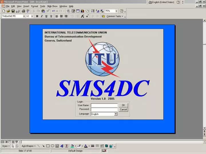
SMS4DC Annex I : Action Plan (rev.2) for development of SMS4DC 1 Provisional test for items listed in Annex II & III. 2 Software developers would try to make the space segment ready for provisional acceptance test. Note: French version of SMS4DC will be ready before WTDC-06 and the other 4 languages if required by the end of 2006.
Deactivation Add Station Draw Polyline Show Legend Draw Line Calculation Overlay Go to Geo-directions Refresh Draw Line from Database Draw Box from Database Move Station Draw Profile Draw Box Toggle button to create rubber-band box for selection of a rectangular area on DEM to activate area dependent functions. Push button for deactivation of activated buttons. The shape of mouse is changed to normal by using this button. Push buttons for navigation of DEM one tile toward one of the West, North, South and East directions each time, respectively. Toggle button to draw line between two points and to activate functions based on predefined line. Toggle button for poly line drawing and activation of relevant functions based on predefined poly line. Push button for drawing a line between two stations and for activation of functions based on predefined line, using database of stations. Push button to refresh screen display and to remove overlaid area-calculation results from DEM. Push button for drawing a square box containing a station at its middle for activation of functions based on predefined area, using database of stations. . Push button to overlay area-calculation results on DEM. Once an area selected on map (using box drawing buttons) this button will be activated. Toggle button to move a station to a new location using mouse. Click mouse right button on the station and drag its symbol to the concerned location while holding mouse right click. Toggle button to add a station under one of the SMS4DC supported services. Push button for drawing of path profile along depicted line. Poly line drawing does not activate this button. Toggle button to show or remove legend of activated display. An appropriate legend is displayed depending to the activated display, i.e. DEM color legend for DEM view, field strength color legend for area calculation result window and etc. Toolbar of SMS4DC desktop
Some of SMS4DC Administrative functions Menu of User-ID and Password management
External Database BR IFIC WinBASMS Interface to the external databases MAPS LIBRARIES DATABASE SMS4DC software Technical & Administrative Modules Core of SMS4DC Interface to the external resources External Resources IDWM RR App.7 SMS4DC SoftwareStructure
WinBASMS BR IFIC Administrative Database Technical Database SMS4DC Database Relationship
User view of administrative data Name, address, contact and classification Owner 1:n License ID, status, duration , etc. License 1:n 1:n 1:n Station name, location, type and etc. Payments Invoices Station 1:n Name, model, radiated power, serial number and etc. Equipment 1:n 1:n Name, gain, pattern, Beam width, etc. Assigned frequency, reference frequency, bandwidth, etc. Antenna Frequency 1:n 1:1 Azimuth and effective height Receiving area information Effective height Link 1:1 Pattern
Owner Information Entry Table
License Information Entry Table
Fixed/Base Station Information Entry Table
Mobile Station Information Entry Table
Broadcasting Station Information Entry Table
International & National frequency allocations table (chart)
Geographical Information System (GIS) functions Vector of Propagation Zones defined in ITU regional plans a) ST61 b) GE84 c) GE89 d) GE2004
GIS functions Example of drawing line from database
Geographical Information System (GIS) functions Topographical map of a selected area (Globe30), relevant 3D view and vector overload
Geographical Information System (GIS) functions 3D view of a selected area Dialog box to adjust visualeffects of 3D view
Antenna Tools • The SMS4DC is able to: • § Import antenna pattern & its characteristic from antenna library; • § Modify the existing antennas in the library for generation of new patterns; • § Completely generate a new antenna pattern
Effective height of antenna calculation Effective height of an antenna can be calculated based on ITU-R Recommendations P.1546 or P.370. This parameter is needed for Field strength calculations in point to area services (i.e. Broadcasting, land-mobile…).