Download
1 / 19
600 likes | 1.41k Vues
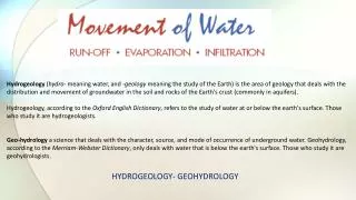
GIS – BASED DRASTIC MODEL FOR ASSESSING THE VULNERABILITY OF GROUNDWATER AQUIFERS TO POLLUTION SOURCES. DRASTIC MODEL PARAMETERS. Depth to water net Recharge Aquifer media Soil media Topography vadose zone Conductivity . DRASTIC MODEL PARAMETERS & INDEX. Depth to water:.

E N D
GIS – BASED DRASTIC MODEL FOR ASSESSING THE VULNERABILITY OF GROUNDWATER AQUIFERS TO POLLUTION SOURCES
DRASTIC MODEL PARAMETERS • Depth to water • net Recharge • Aquifer media • Soil media • Topography • vadose zone • Conductivity