Download
1 / 16
160 likes | 307 Vues
شبكة محطات الرصد الهيدرولوجي Hydrological Monitoring Stations Network By (DGWRM) Presented to 5 th World Water Forum. Objective of Data Collection. The objective of the proposed hydrological observation network is to provide accurate data for:-

E N D
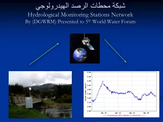
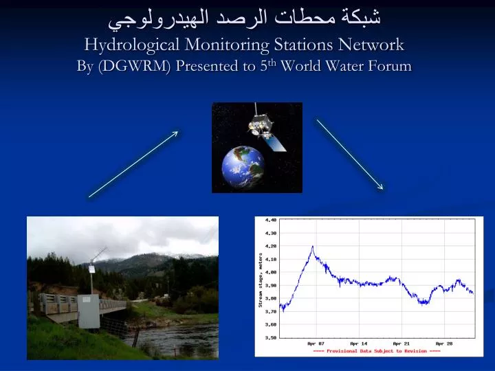
شبكة محطات الرصد الهيدرولوجي Hydrological Monitoring Stations NetworkBy (DGWRM) Presented to 5th World Water Forum
Objective of Data Collection The objective of the proposed hydrological observation network is to provide accurate data for:- • Water resources assessment ( in one of the most important head water areas in the Middle East). • Monitoring of inflow from Turkey , Iran , and Syria and can be shared between the riparian countries. • Monitoring trends caused by climate and land use changes. • Water resources management , sustainable and equitable water use.
Watershed management. • Drought mitigation planning. • Design of irrigation dam, hydropower projects. • Water availability and flood forecasting. • Historical data can be the bases of for negotiations between the riparian countries.
The system measuring the following parameters : 1. Water level. 2. Discharge measurement of the rivers . 3. Sediment measurement . 4. Water quality measurement . 5. Chemical water measurement (PH , DO, EC, TEMP, etc…). 6. Measurement the ground water elevation. 7. Snow measurement .
Renovation of Gauging Stations“Partner Agencies” • Iraq Ministry of Water Resources (MoWR) • G.D. for Water Resources Management • CRIM ( Center for Rehabilitation of Iraqi Marshlands ) • G.D. for Dams and Reservoirs operation • G.D. for operation and Maintenance of Irrigation projects • USACE – HEC (Hydrological Engineering Center) • USGS (Untied State of Geological Survey) • IMET (Italian Ministry for Environment and Territory) • ARDI (Agriculture-food Research and Development initiative) • USAID (Unite States Agency for International Development)
مخطط توضيحي لمحطة القياس Typical station LSH Level sensor WT Water temperature probe EC Electric conductivity probe PH PH probe DO Dissolved oxygen probe LSH Level sensor WT Water temperature probe EC Electric conductivity probe PH PH probe DO Dissolved oxygen probe
Data transmitting before master station is working Data transmitting after master station is working