Download
1 / 26
260 likes | 370 Vues
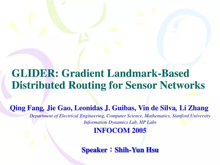
GLIDER: Gradient Landmark-Based Distributed Routing for Sensor Networks. Qing Fang , Jie Gao, Leonidas J. Guibas, Vin de Silva , Li Zhang Department of Electrical Engineering, Computer Science, Mathematics, Stanford University Information Dynamics Lab, HP Labs INFOCOM 2005

E N D
GLIDER: Gradient Landmark-Based Distributed Routing for Sensor Networks Qing Fang, Jie Gao,Leonidas J. Guibas,Vin de Silva, Li Zhang Department of Electrical Engineering, Computer Science, Mathematics, Stanford University Information Dynamics Lab, HP Labs INFOCOM 2005 Speaker:Shih-Yun Hsu
Outline • Introduction • GLIDER • Landmark selection • Local landmark coordinate • Naming • Routing • Simulation • Conclusions
Introduction • Routing algorithm are classified • Proactive • Routing table • Proactively maintained and take advantage of the hierarchical structure of IP addresses to enable route discovery • Hard to maintain routing table when topology changes frequently • Reactive • AODV or DSR • Flooding the network in order to discover the desired route
Introduction • Routing algorithm in WSNs • Power conservation becomes a serious concern and flooding is undesirable
Introduction • Geographical routing • Compute routes that are often close to the best possible • Do so with very little overhead in maintaining auxiliary routing structures • GPS receivers can be costly and lead to cumbersome node form factors
Introduction • Localization algorithms • Only some nodes, called anchor nodes, know their location by manually or GPS • Other nodes determine their location by estimating their distances to three or more of these anchors and then become anchors themselves • Localization algorithms are still quite expensive in terms of computation or communication, and often insufficiently accurate
Introduction • GLIDER • Location-unaware • Topology-enabled routing • The whole networks are connectivity
GLIDER • Landmark selection • Local landmark coordinate • Naming • Routing
Landmark selection • Desire to have several landmarks lying close to topological features, such as hole boundaries • Arrange for nodes near the boundary to be selected as landmarks with higher probability than interior nodes • Expect the number of landmarks to be proportional to the number of holes (or topological features) of the sensor domain
GLIDER Landmark Voronoi Complex (LVC)
GLIDER Combinatorial Delaunay Triangulation (CDT)
GLIDER • Each node in the same tile is knowing their home landmark and the shortest path to the home landmark
GLIDER • Each landmark also flooding to neighbor tile • Each node is knowing the shortest path to neighboring landmark • Each landmark is knowing other landmark positions • Each landmark builds its shortest path tree by CDT
Local landmark coordinate • Each node calculate the distances or hops between home landmark and neighboring landmark to itself 2 3 1 (1, 2, 3)
Naming • Each node has ID and Name • ID is unique • Name is not necessary unique • Name is • Home landmark ID • For local landmark coordinate • Ex:(Name, 1, 2, 3)
Routing • Global routing • Local routing
Local routing • Local routing (intra-routing) is done by gradient descent using the local landmark coordinates • Greedily routing
Global routing D S
Simulation • C++ programming • Network-level simulations using ns-2 will be undertaken in the near future • 2000 sensor nodes • 23 landmarks • 5 landmarks are near the hole boundary • 18 are chosen randomly • Using a Gaussian random variable with standard deviation equal to 50%
Simulation • 20 pairs of sources and destinations selected at random, with path length about 40 hops in each case • The density of network is important
Simulation D D S S D D S S GPSR GLIDER
Simulation S S D D D D S S D S D S GPSR GLIDER
Simulation 45 pairs of randomly chosen source and destination GPSR GLIDER
Conclusions • This paper propose a topology-based and location-unaware routing • This paper combines LVC and CDT to maintain routing • It will more power balance than GPSR