Download
1 / 21
210 likes | 346 Vues
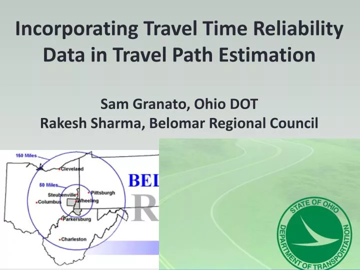
Incorporating Travel Time Reliability Data in Travel Path Estimation Sam Granato, Ohio DOT Rakesh Sharma, Belomar Regional Council. Which travel path to take?.

E N D
Incorporating Travel Time Reliability Data in Travel Path EstimationSam Granato, Ohio DOTRakesh Sharma, Belomar Regional Council
Which travel path to take? • Not much to do with “equilibrium” (latest exp. GPS study - only 1/3 of travelers on shortest time path, none on the shortest distance path - unless the same as shortest time path). • Why? Plenty of day-to-day variability in both link-level volumes and travel delays (as well as differences in traveler perceptions). • Use of variability of travel times in models born out of a sense that delay should somehow get more “weight” than other travel time for impatient drivers (but I never followed thru on some initial ideas for “off-line” weighting via static (& 1-off) link penalties).
How do people select a travel path? • Distance (fixed) • Travel time (average) • Travel time (variability/reliability) • Pavement condition • Safety (perceived, both on and off-road) • “Fear of merging” • The “scenic route?”
Forecasting framework using “not your father’s QRSII”DTA is integrated within 4-step process as a feedback loop instead of a “stand-alone” process, while a separate (3rd) loop estimates the “reliable” travel paths - if non-additive by link.
Implementing Reliability in Path Building step: • Total Path Impedance (RR = reliability ratio) • Variance of Path Travel Time • Thru movements on successive links are correlated. • Marginal change in travel time standard deviation from selecting the next link: • So that for any path between an origin and destination:
Details of the Link-level Reliability calcs: • Path correction using MSA, vine building necessary. • Convergence found in a finite number of steps (via calculation of “path error” term). • Link travel time includes intersection delay, while standard deviation derived from the coefficient of variation equation • “Free” travel time t0 includes intersection delays under low-flow conditions. (L=link length) • Calibration coefficients can vary by road type
Reliability Parameters Link Impedance =all other components + (reliability ratio)*t*CV
Wheeling Area Travel Demand Model 150,000 metro population, 900 modeled intersections (125 signalized), validated to local travel time surveys as well as counts
From “local” floating-car surveys: Variability in intersection delay from travel time survey with large sample sizes from nearby MPO region
Travel time variability as a function of route length, or number of intersections
Simplified Example (average time/”free-flow” time):(All links are 0.25 miles with running speed=30 mph so “running” time=0.5 minutes)
Path impedance with reliability (additive)(Posted: Average time / standard deviation)
Path impedance with reliability (NON-additive)(Posted: Average time / standard deviation)
Results • Number of Path building iterations has clear impact on model volumes but mixed on validation • Procedures reduce impact of “worst” intersections • Counter-intuitively (?), equation values from UK study worked better than nearby (WWW region) surveys • Virtually no differences among options for local travel time error (table shows “bottom line” for volume)
Overall Impact of Incorporating Reliability in the Model Update? • Little impact on overall validation v. counts or travel times • Regardless of option taken, superior validation Few differences overall due to relative lack of congestion
Modeled Travel Time with Procedures • Urban street travel time errors (average of 8%) lower than models from other regions (esp. those still relying on fixed capacities & vdfs). • Errors even less on freeways (2%) and rural roads (4%)
Impact of using new data sources: • Freeway floating car (Cleveland) • Local GPS data (Columbus sample) • Generated new sets of CV equation coefficients • No impact on model’s • Validation (so far) • Statewide GPS data on curves/grades/RR crossings found less delay than expected • Demand-side in future?
Questions? • sam.granato@dot.state.oh.us • rsharma@belomar.org