Download
1 / 23
230 likes | 242 Vues
This outline provides an overview of the current status and plans for implementing the WIGOS (World Meteorological Organization Information System) in Myanmar, including the organization of the Department of Meteorology and Hydrology, current projects, and future plans. The outline also highlights the country's population, geography, and climate.

E N D
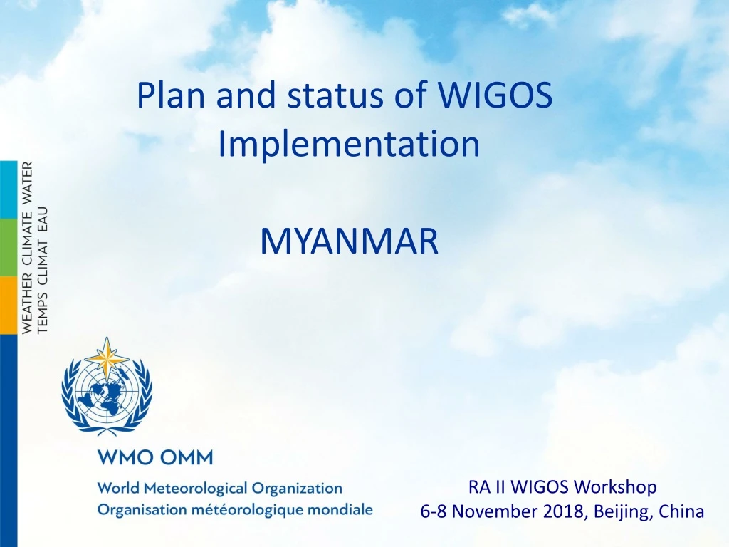
Plan and status of WIGOS Implementation MYANMAR RA II WIGOS Workshop 6-8 November 2018, Beijing, China
Outline Introduction to the country Organization of DMH Status 1 Status 2 Status 3 Status 4 Current issue Plan 1 Plan 2 Conclusion
MYANMAR Population 54,013,647 (Oct 30,2018) Total land area 653,290 km2 36.8% of the population is urban Coastline 1,930 km (1200 mi) Longest river Ayeryarwady Largest lake Indawgyi lake Dry March to April Rainy June to October Winter November to February China Bangladesh Thailand Myanmar (formerly Burma) is a Southeast Asian nation of more than 100 ethnic groups, bordering India, Bangladesh, China, Laos and Thailand. Yangon (formerly Rangoon), the country's largest city, is home to bustling markets, numerous parks and lakes, and the towering, gilded Shwedagon Pagoda, which contains Buddhist relics and dates to the 6th century.
Status 1 Project name: The Project for Establishment of Disastrous Weather Monitoring System Period/ budget : 2013- 2018 / 3,842,000,000 Japanese Yen Donated by : JICA Three radar in remote site , radar receiving system in head office and 30 of Automatic weather system
Radar network VSAT Mandalay Kyaukphyu Kyaukphyu Yangon Composite
Improved accuracy of weather observation data from instrument and radars record/reports of maintenance (surface observation) Daily/weekly/monthly/annual reports on radar Daily and monthly physical check Clean AWS tower base Cut grass around tower Check for damage on tower Clean solar panel Check for ants and other pests Check data logger screen Clean outside and inside enclosure 30 AWS stations
Status 2 Project name : International Development Association (IDA) Immediate Response Mechanism (IRM) MYANMAR and the United Nations office for project Services(UNOPS) Period : 2017 Automatic weather observation system 90 Flood Early Warning System 10 Web Forecaster tool : COROBOR systems Keep Metadata AWS (Met and Hydro) stations and ASOS 20 stations
Status 3 Project name : Modernization of Forecasting and Warning System for Natural Disaster in MYANMAR Donated by : Korea Meteorological Administration(KMA) and Korea Meteorological Industry Promotion Agency(KMIPA) Duration/budget : 2017-2019 / 4 million US Dollars Automatic Synoptic Observation System (ASOS) - 20 already installed 20 on going to install Total - 40 ASOS station Display of ASOS 20 stations
Status 4 Three of tide observation stations Sittwe moulmein Hainggyikyun Currently Hydro observation stations 74
Currently issues -No database ( we keep data with portable Hard drive currently) -No data quality monitoring system -No upper air observation -No calibration lab -No lighting detection -Different projects, different systems ,others( to be integrated system)
PLAN 1 is on going Hydromet Observation and Information Systems Modernization of the project “ Ayeyarwady Integrated River Basin Management Project” (AIRBM) Automatic weather Stations Meteorological observation station 39 Hydro observation station 17 Agro meteorological observation station 1 supplementary 1 Calibration Lab 1 (Yangon) Upper air 2 ( Yangon and Mandalay) Server room 1 (Head office in Nay Pyi Taw) Data center 1 (Head office in Nay Pyi Taw)
Integrated end-to-end observation and production system JICA KOREA CHINA IRM RIMES others AWS RADAR Satellite GTS
From an old –fashioned manual observation network to a modern and automated monitoring system Manual stations 155 Automatic stations around 250 Manual observation should be automated by 2020.
PLAN 2 Project name :The Project for Enhancing Capacity of Weather Observation and Forecasting in MYANMAR Period : 2019- 2020 Donated by: JICA -To develop operation and maintenance guidelines of three meteorological radars for obtaining reliable data -To identify issues in operation and maintenance of automatic weather observation and surface observation systems at the pilot stations -To develop manuals of regular inspection, calibration and maintenance of weather observation equipment -To establish traceability method of observation equipment and to develop manuals -To conduct tracing on radar data analysis -To conduct training on method to obtain reliable meteorological radar data using automatic weather observation data and other weather data. -To improve QPE information continuously -To conduct training on utilization of new HimawariCast for weather forecasting -To introduce weather guidance system
Conclusion • - Manual observation should be automated by 2020. • Total AWS station over 200 • database • data quality monitoring system • upper air observation • calibration lab • lighting detection network • All different system will be integrated system • - Maintenance fee Future issue
Thank you papaswe03@gmail.com
Outline • Introduction to the country and the NMHS • Physical context of the country • National requirements for observations • Summary of national observing capabilities • Status of National implementation of WIGOS • Other remarks
Physical context of the country(with pictures, maps – 1 or 2 slides maximum) • Surface area, • Mountains, • Lakes, • Rivers, • Coast • Other relevant factors
National requirements for observations(1 or 2 slides maximum) • National priority application areas • Health? Agriculture? Hydrology? Transports? • … • Most relevant measurements: • Temperature, humidity, precipitation, wind • Pressure, radiation, …
Summary of national observing capabilities(preferably maps – 2 or 3 slides in total) Networks description (current and planned) • Map of meteorological/climatologicaloperational stations (identifyingthe technologyused): • Surface observing stations • Precipitation stations • Upper-air/radiosonde stations • Weather Radars • Lightning detection networks • Mapof other surface operational stations: • Hydrological stations • Sea stations • Atmospheric composition and other stations
Status of National implementation of WIGOS(1 or 2 slides maximum) • National Observing Strategy adopted/approved; • National WIGOS Implementation Plan adopted/approved ; • National WIGOS governance mechanism: in place; • National WIGOS partnership agreements for integration and open-sharing of observations from NMHSs and non-NMHSs sources: in place ; • OSCAR/Surface being populated and updated with WIGOS metadata for which observations are exchanged internationally • Number of reporting stations updated by Member in OSCAR/Surface. • Number of reporting stations in OSCAR/Surface with all mandatory metadata. • Number of staff trained in OSCAR/Surface. • WIGOS Station Identifiers: implemented • WIGOS Data Quality Monitoring System (WDQMS): national process in place, for acting on quality problem information received from WDQMS; • National focal points nominated (WIGOS NFP and OSCAR/Surface NFP)