Download

1 / 25
301 likes | 562 Vues
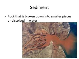
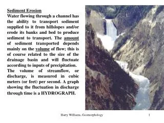
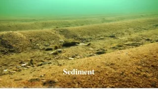
Stream Sediment. Sediment - particles transported or deposited in stream channels Sediment levels - good indicator of effectiveness of watershed mangement. Erosion is a natural process. Clearwater River, Idaho. The name says what the watershed management goal is. Clearwater River, Idaho.

E N D
Stream Sediment • Sediment - particles transported or deposited in stream channels • Sediment levels - good indicator of effectiveness of watershed mangement
Clearwater River, Idaho The name says what the watershed management goal is.
Erosion Process • Detachment • Transport • Deposition Eroded skid trail
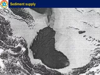
Watershed Gross Erosion • Components of gross erosion • Interrills • Rills • Ephemeral gullies • Channels • Landslides or slumping
Interril Erosion Raindrops striking exposed soil detach the soil particles and splash them into the air and into shallow overland flows. Raindrops striking these shallow flows enhance the flows's turbulence and help to transport more of the detached sediment to a nearby rill or flow concentration
Landslides Grand Ditch, Rocky Mountain National Park
Estimates of rill erosion • Universal soil loss equation • Developed by US Dept. Agriculture • Oldest and most accepted estimator • Over-estimates for forest land • Use as a starting point only
Universal Soil Loss Equation A = R K LS C P A = tons/acre/year R = rainfall energy factor K = soil erodibility factors LS = effect of topography C = ratio of soil loss with specified cover and with continuous tillage P = conservation practice factor
R factor R = [∑ ∑ (E I30)] / 100 n) E = storm kinetic energy, ft-t/acre/inch of rainfall I = maximum 30 minute storm intensity, in./hr. n = total number of years m = number of storms in each year R = 150 to 200 for Indiana n m
K factor Describes soil detachability and transport-ability due to soil texture, structure, organic matter, density, compaction, and biological characteristics K = A / (RLSCP) K is given in NRCS soil survey reports
K factor 100 K = 2.1M1.14(10-4)(12-a) + 3.25(b-2) + 2.5 (c-3) M = (%silt + %very fine sand) (100 - % clay) a = % organic matter b = soil structure code used in soil classification c = profile permeability class
LS factor LS = (λ/22.13)a (0.065 + 0.0454 S + 0.0065 S2 λ = slope length a = 0.5 for slope ≥ 5%, and 0.3 for 1 to 3% slope S = slope steepness in %
C factor C = A (with treatment) / A (with clean tillage) C values reported in 3 studies of forested site conditions
P factor P = A (with conservation practice) / A (up-and-down hill cultivation) P = 1 if no conservation practices P < with conservation practices
Drum chopper for site preparation Windrow of logging slash Burning piles of logging slash