Download
1 / 21
210 likes | 212 Vues
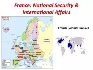
France National Report MACHC17.03J. National Report highlights. Survey activities MSDI developments Coastal Hazards: HOMINIM Project IENWG activities. Full French national report available on the IHO website (item 17-3J). Survey activities. 2017-2020 National Survey Programme.

E N D
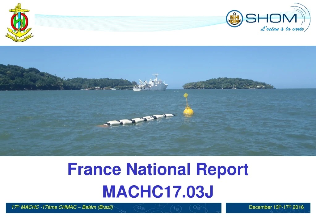
France National Report MACHC17.03J
National Report highlights Survey activities MSDI developments Coastal Hazards: HOMINIM Project IENWG activities Full French national report available on the IHO website (item 17-3J).
2017-2020 National Survey Programme Antilles
2017-2020 National Survey Programme French Guiana
SHOM’s webportal: data.shom.fr Maritime & coastal geographic information portal, INSPIRE compliant. Access to around 50 different data layers organized by types: Vertical references, tidal currents, bathymetry, charts, sedimentology, etc Both open data and licenceddata sources visualisables Shom’s online boutique: http://diffusion.shom.fr
SHOM’s webportal: data.shom.fr Several online services provided back to back with the portal • Dissemination of all data layers available through OpenGISweb services • Embedded collaborative services: • Infonaut: MSI report tool • Cartodyn: Basic cartographic tool - shareable with other users • Oceanographic modelling forecasts visualization (time/depth)
Coastal Hazards: HOMONIM Project Initiated in 2011 in partnership between Shom and Météo-France, aims at improving France stormsurge alert system(VVS) • A second phase of that project was initiated at the end of 2015, to end in 2019, focusing on overseas territories, precisely: • French Antilles, • French Guiana, • French overseas Territories of the SouthWest Indian Ocean.
IENWG Activities Coastal Mapping Project
Genesis - context • Memorandum of Understanding (MoU) – 23 April 2012 • Framework for interaction between the EC and the IHO • Creation of the IHO-EU Network WG (June 2013) • Decidedat the 5th IHO IRCC meeting • Initiated and chaired by France • Development of a Joint EuropeanCoastalMapping Programme (JECMaP) withinthis WG • Concurrently, CPMR work on data knowledge for the management of coastal areas • Service contractsigned 29 May 2015 (3 year duration)
Objectives • Assess the current availability of digital coastal maps in the EU • Disseminate this information by EMODnet • Share experience of coastal mapping in the EU • Develop standards for best practices • Propose how a future JECMaP could operate
Consortium • Hydrographic offices : FRANCE – BELGIUM – GERMANY – GREECE – IRELAND – ITALY – LATVIA – NORWAY – PORTUGAL – SLOVENIA – SWEDEN • Regions : CPMR – RegioneLazio • Public Bodies : ISPRA – RWS - GeoEcomar – DDNI • IT company : Worldline
STUDY OF THE GAPS TO FILLHR BATHYMETRIC DATA IN COASTAL ZONES • Representabilityof the partnership; all the EU maritime basins were considered, more than 50% of the maritime EU Countries • Result; more than 175 000 km2 of acquisition to do, only for the panel countries It is necessary to take into account the specificities of the maritime basins in the future acquisition strategy for coastal data (depth) and not take only one definition for coastal zone, coast line, coastal population.
STUDY OF THE GAPS TO FILLHR BATHYMETRIC DATA IN COASTAL ZONES • The maximum resolution useful for the evaluation of activities is 0.50m, the actual MBES can deliver 0.20m in good conditions. • Standardized and high resolution data are the conditions of re-usability of data by the national and local authorities and stakeholders for the maritime policies; precision for decisions, activities and juridical situations. • Using standard procedures would allow to give to the data a quality assurance. The IHO rules must be used, no data should be gathered without an assessment about their uncertainty. We should climb a step with the use of these standards in EU funded projects.
It seems mandatory that experts of bathymetry be involved in the preparation of EU programmeswith maritime objectives. This would facilitate the use of standards. IHO-EU Network can be associated.
How to fill the gaps with a EuropeanStrategy ?Three axes proposed • AXIS 1: Set up coordinatedprogrammes for data acquisition at maritime basin scale; • AXIS 2: Increase the opportunitiesfor bathymetric data acquisition in the framework of the EU operationalprogrammes and funds; • AXIS 3: Promote the production of bathymetric data from multiple sources, usable by different categories of coastal users for maritime policies.
AXIS 3 Communitysourcing • Promoting the production of usable bathymetric data for maritime policies, coming from different sources • Organising training and dissemination of data acquisition standards, (HOs) • Organising the validation of these data by the HOs of EU Member States (link with EMODNET “ingestion and safe keeping of marine data) • Evaluation of the gaps in the EU coastal seabed mapping, in order to address them via community sourcing • Promoting the link between the EU and the IHO works