Download
1 / 42
420 likes | 528 Vues
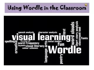
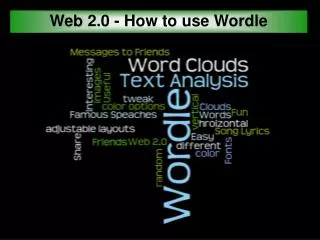
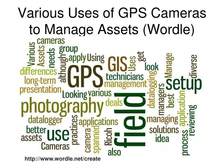
Various Uses of GPS Cameras to Manage Assets (Wordle). http://www.wordle.net/create. Various Uses of GPS Cameras to Manage Assets Needle in the Haystack. Brad Tatham, GISP. 4:30 to 5:00 PM. The New Geospatial Enterprise: Integrating Government, Industry and Research.

E N D
Various Uses of GPS Cameras to Manage Assets (Wordle) http://www.wordle.net/create
Various Uses of GPS Cameras to Manage AssetsNeedle in the Haystack Brad Tatham, GISP 4:30 to 5:00 PM The New Geospatial Enterprise: Integrating Government, Industry and Research
There is more than Smartphones http://blogs.esri.com/Dev/blogs/mobilecentral/archive/2011/03/29/Data-Collection-Playground-and-ArcGIS-on-Smartphones.aspx
Ask where is a camera being used and should it be a GPS camera
Cameras go from recording the location, recording the direction to recording the data (GIS Camera) Attributes Direction Location
Range of Accuracy 2-5 meters 5 - 10 meters
Range of Acccuracy 10 – 25 meters
GPS Cameras • Panasonic Lumix DMC-TZ10 • Sony DSC-HX5V • Compact CameraCasio • Sony Alpha 55V & 77 (DSLR)
Think Beyond the GIS Tech Field Staff GPS Staff
Reaching Beyond the Comfort Zone Core (federal) Public Administration (CPA) • Knowledge-based: These include: physicists; mathematicians; chemists; civil and mechanical engineers; biochemists; agriculturalists; ecologists; analysts; programmers; economists; accountants; lawyers, and artists. • Less knowledge-based: technical, operational and administrative support categories. http://www.statcan.gc.ca/pub/11-621-m/11-621-m2007053-eng.htm
How are GPS cameras being being used Tourism (Touristic Sights, Landscapes & Impressions, Hotels & Restaurants, Route Documentation, Signs,Touristic Offers...) Real Estate (Outside Views, Location,Surrounding, Highway Connection...) Traffic (Signs, Road Construction Site Inventory, Hazards,Accidents, Road Damages...) Environment Management (Environmental Inventories, Biodviersity Mapping, Tree Register, Status Quo Documentation...) Regulatory Agency(Graffiti, Vandalism...) Disaster Management (Status Quo, Road Ways to approach, Resources,Potential Threat...)
Reality Scenario • Photographs and attribute data are acquired at project sites by field personnel whose acquisition time is often limited by deadlines, daylight, distance, disaster, etc.
Project Requirements? • Accuracy • Camera – around 6 meters • Bluetooth to Trimble, Sokkia… • Post Processing Photographs and attributes • Reports • PDF, Excel, Word, HTML • GIS Formats • Shapefile, Geodatabase (File), Google • Editing attributes outside of ArcGIS
Example Solution • Attributed GPS Camera with post processing of attributes
Data for all Using GeoCollaboration, entities can eliminate technology boundaries, allowing for access and input to leverage agencies’ existing investments in spatial data. 23
Camera Field Collection Uses: • Military Solutions • Engineering and Survey • Disaster Readiness and Recovery • Graffiti • Vector Control (Mosquito) • Natural Sciences
A picture is worth a thousand words Phone Cameras Always available Not necessarily designed for field work Reduced Image Quality May lack detail to make critical decisions Slow shutter response times blurs images Poor color and white balance accuracy 14 MP images All-glass optical zoom and telephoto options Superior detail and distant and close-up objects Rapid shutter responses for crisp clear images Full frame high-quality video recording
Why • After we are dead and gone the field data (especially the photographs) will live on as a historical record of how smart we were.
Inside the box Trimble Juno SC 3.5G cellular modem Feature packed, fully integrated solution 3 megapixel camera High-sensitivity GPS receiver Long life battery for all-day use Lightweight and compact Juniper Systems Mesa Wi-Fi & Bluetooth wireless 3.2MP Camera GPS & 3G GSM Modem (AT&T)
Man Follows GPS ... to the Edge of a Cliff Drove on a trail at night until a fence at the top of the cliff stopped him Fireman says he drove it up a glorified goat trail. Had to helicopter the vehicle out
Datalogger – List Builder Logger • Simple List Builder • Excel (cut & paste)
GIS Photography • Photograph • Data Logger • Spatial (GPS) • Compass Direction Photo x,y GIS Photography
Methods of Transferring • Data Manager software • There can be issues over time about the naming procedures for project photographs. Use data management software to create folders and photo Transfer
Edit Images GPS Photo-Link Post Production
Attribute Editing GPS Photo-Link Post Production
Wind Image Post Production
iPhone / iPad GeoJot
Geodatabase Raster Column Geodatabase
Casio • Casio's Hybrid GPS system combines GPS with autonomic positioning, which is made possible by an internal motion sensor.
Sony • Sony Cyber-shot DSC-HX9V 16.2 MP Digital Camera GPS, 3D Sweep Panorama technology and Street Map View Mode
Samsung • Samsung Digital Camera WB650. –GPS & Geo-tagging – Map View Mode – 3” VGA AMOLED Screen – Full Manual Control
Rules of the Road • One mobile solution does not fit all • Go out in the field – see & breathe • Test the solution – drill baby drill • Post-processing by users • Path to the main Geodatabase • Train all to access datasets • Have user meetings to review data
Brad Tatham, GISP brad@gisservices.net www.gisservices.net 520-971-7624 GIS Training and Mobile Solutions The New Geospatial Enterprise: Integrating Government, Industry and Research