Download
1 / 21
210 likes | 402 Vues
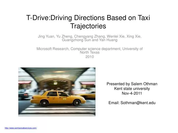
T-Drive:Driving Directions Based on Taxi Trajectories. Jing Yuan, Yu Zheng , Chengyang Zhang, Wenlei Xie , Xing Xie , Guangzhong Sun and Yan Huang Microsoft Research, Computer science department, University of North Texas 2010. Presented by Salem Othman Kent state university

E N D
T-Drive:Driving Directions Based on Taxi Trajectories Jing Yuan, Yu Zheng, Chengyang Zhang, WenleiXie, Xing Xie, Guangzhong Sun and Yan Huang Microsoft Research, Computer science department, University of North Texas 2010 Presented by Salem Othman Kent state university Nov-4-2011 Email: Sothman@kent.edu http://www.samtaxicabservices.com/
Background How long does it really take to drive from point A to point B at 5:00 pm? Shortest Time. Shortest Distance.
Background Cont. Practically fastest route
Motivation • Big cities have a large number of taxicabs equipped with a GPS sensors • Historical GPS trajectories • Taxi drivers are experienced drivers http://barrycarguythomas.blogspot.com/2011/05/monday-another-taxi-story.html
Goal • Model the dynamic traffic patterns • Model intelligence of experienced drivers http://www.asnowtech.com/genetics-of-human-intelligence-2171215.html http://www.fastcompany.com/1644403/microsoft-predestination-can-predict-where-youre-going
Outline • Challenges faced performing the system • Methodology • Trajectory preprocessing • Landmark graph construction • Travel time estimation • Route computing • Experiments • Conclusion • References
Challenges faced performing the system • Intelligence modeling • Can we answer any user query? • Data sparseness and coverage • Can we accurately estimate the speed pattern of each road segment? • Low sampling rate problem • Is there uncertainty of the routes traversed by a taxi?
Outline • Challenges faced performing the system • Methodology • Trajectory preprocessing • Landmark graph construction • Travel time estimation • Route computing • Experiments • Conclusion • References
Step 1: Preprocessing • Taxi trajectory: a sequence of GPS points pertaining to one trip. • Road segment: a directed edge, one-way or bidirectional • Trajectory segmentation • Partition a GPS log into some taxi trajectories • Map matching • Map each GPS point of a trip to the corresponding segment Taxi #6, 3 Days
Outline • Challenges faced performing the system • Methodology • Trajectory preprocessing • Landmark graph construction • Travel time estimation • Route computing • Experiments • Conclusion • References
Step 2: Building the landmark graph • Landmark: one of the top-k road segment being frequently traversed by taxis • Select top-k road segments • Connect two landmarks with a landmark edge
Outline • Challenges faced performing the system • Methodology • Trajectory preprocessing • Landmark graph construction • Travel time estimation • Route computing • Experiments • Conclusion • References
Step 3: Travel time estimation • Travel time gather around some values like a set of clusters. • V-clustering • Find the best split point having minimal weighted average variance • E-clustering • Split the x-axis into several time slots • Compute the distribution of travel time in each time slot
Outline • Challenges faced performing the system • Methodology • Trajectory preprocessing • Landmark graph construction • Travel time estimation • Route computing • Experiments • Conclusion • References
Step 4: Route computing • Rough routing • In landmark graph • Search m nearest landmarks for source and destination points. • For each pair of landmark find time-dependent fastest route. • Refined routing • In real road network • Dynamic programming
Outline • Challenges faced performing the system • Methodology • Trajectory preprocessing • Landmark graph construction • Travel time estimation • Route computing • Experiments • Conclusion • References
Experiments • Data • Road network of Beijing has 106,579 nodes and 141,380 segments • Taxi trajectories 33,000 taxis over 3 months total distance 400 million Km total GPS points 790 million • The average interval is 3.1, average distance 600 meters, 4.96 million trajectories • Evaluation framework • Landmark graph • Based on synthetic queries • In-the-field K=4000 K=500
Outline • Challenges faced performing the system • Methodology • Trajectory preprocessing • Landmark graph construction • Travel time estimation • Route computing • Experiments • Conclusion • References
Conclusion • 60-70% of the routes suggested are faster than the competing methods • 20% of the routes share the same results • On average, 50% of routes are at least 20% faster than the competing approaches
Outline • Challenges faced performing the system • Methodology • Trajectory preprocessing • Landmark graph construction • Travel time estimation • Route computing • Experiments • Conclusion • References
References [1] Jing Yuan, Yu Zheng, Chengyang Zhang, WenleiXie, Xing Xie, Guangzhong Sun, Yan Huang. T-Drive: Driving Directions Based on Taxi Trajectories. In Proceedings of ACM SIGSPATIAL Conference on Advances in Geographical Information Systems (ACM SIGSPATIAL GIS 2010). [2] Yin Lou, Chengyang Zhang, Yu Zheng, Xing Xie. Map-Matching for Low-Sampling-Rate GPS Trajectories. In Proceedings of ACM SIGSPATIAL Conference on Geographical Information Systems (ACM SIGSPATIAL GIS 2009). [3] Jin Yuan, Yu Zheng. An Interactive Voting-based Map Matching Algorithm. In proceedings of the International Conference on Mobile Data Management 2010 (MDM 2010). Thank you