Download
1 / 24
240 likes | 348 Vues
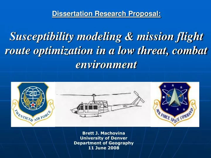
Dissertation Research Proposal: Susceptibility modeling & mission flight route optimization in a low threat, combat environment. Brett J. Machovina University of Denver Department of Geography 11 June 2008. Proposal Overview. Goals Background Methods Conclusion. Goals.

E N D
Dissertation Research Proposal:Susceptibility modeling & mission flight route optimization in a low threat, combat environment Brett J. Machovina University of Denver Department of Geography 11 June 2008
Proposal Overview • Goals • Background • Methods • Conclusion
Goals • Develop a model to optimize flight routes • Hypothesis: GIS-enabled routes increase mission effectiveness by significantly reducing susceptibility • Test the model results in relation to: • Experience • Expertise • Familiarity • Gender • Age • Terrain variability
Background • Survivability and susceptibility (Ball 2003) • PS = 1 – PK • PK = PH*PKH • PH = PA*PDA*PLD*PIL*PHI • Flight route optimization modeling • Operations research & stealth • Pekelsma 1988 • Geography & mission planning tools • PFPS and FalconView (Bailey 2008) • Rotorcraft Noise Model • Behavioral geography • Visualization, orientation, relations(Golledge & Stimson 1997)
Survivability Research Current Wind Data Susceptibility Research Extensive and Current Temperature Data Real-time Weather Data Instructions Current Instrument Meteorological (IMC) Data Detectability Analysis Optimized Mission Planning GIS Noise Analysis GIS EM Visibility Analysis Airframe Limits Real-time Threat Data Threat (Road) Data Elevation Data Temperature Data MethodsOverview
MethodsModel: Temp., Altitude & Helicopter Performance DA = PA + (120 TV) DA = density altitude PA = pressure altitude 120 = the change in DA for 1 degree Celsius deviation from standard temperature TV = temperature variation from standard (15 degrees C at sea level) = Outside Air Temperature (OAT) – {15 - [(PA in ft/1000 ft)*2]} (HATS 1999: 2-17)
MethodsValidation • GIS-enabled route vs. human route (n=45) • Total distance • Turn point deviation from optimal route • % points in optimal corridor • % route in optimal corridor • Difference in visibility footprint • Difference in audibility footprint • Origin and destination • Sinuosity • Directional mean, circular variance
Conclusion • Theory • GIS modeling methods • Direct application
Timeline • Completed coursework • Fundamental Geog Perspectives, Geog Research Methods, Adv. Geog Statistics, Urban Landscapes, Homeland Defense (GSIS), GIS Modeling, Research Identification*, Application Design & Production* • 2008 • Summer • June: IRB, AFSPC • July 7-12: data collection • Dissertation Research • Fall • GIS Database Design, International Terrorism (GSIS) • 2009 • Winter • Spatial Modeling, Ind. Study, 3rd World Defense Policy (GSIS) * Current course (SP qtr 2008)
Timeline • 2009 • Spring • Geographic Information Analysis, GIS Seminar • Comprehensive Exam • Summer • Dissertation Research • Fall • Dissertation Research, Special Topics in GIS • 2010 • Winter • Dissertation Research • Spring • Dissertation Defense
Human Route GIS Route Methods Back
GIS Route Human Route MethodsTurn Point Deviation Deviation from closest GIS line segment Back
Methods% of turn points in optimal corridor Example: 60% of human-generated turn points fall within the optimal GIS corridor (dark green) Human Route GIS Route Back
Human Route GIS Route Methods% of route in optimal corridor Example: 64% of human route segments fall within the optimal GIS corridor (dark green) Back
MethodsDifference in visibility and audibility footprints • Visibility is yes/no • Audibility will require a threshold Back
DM and CV? 225 135 DM and CV? MethodsOrigin and Destination Human Route GIS Route Back