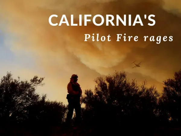
Download
1 / 23
250 likes | 407 Vues
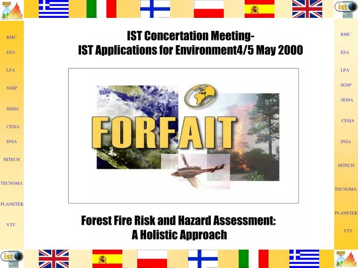
IST Concertation Meeting- IST Applications for Environment4/5 May 2000. Forest Fire Risk and Hazard Assessment: A Holistic Approach. Project Summary. FORFAIT will develop a Decision Support System (DSS) which can be used by planners, educationalists, regulators, and industry to aid

E N D
IST Concertation Meeting- IST Applications for Environment4/5 May 2000 Forest Fire Risk and Hazard Assessment: A Holistic Approach
Project Summary FORFAIT will develop a Decision Support System (DSS) which can be used by planners, educationalists, regulators, and industry to aid in decision making relating to risks from forest fires. It will be designed to be generally applicable across Europe, but capable of being applied on a specific basis to assess risks to humans, the environment and to commercial enterprise.
PROJECT OBJECTIVES • To contribute to the protection of national • resources and improvements in health and safety • as applicable to forest fires. • To integrate established and emerging • technologies, including electronic data gathering, • in order to design and build a • Decision Support System for use as a tool in • planning, educational, regulatory and • business contexts.
HITECH CONSULTANTS List of Consortium Members • INSA (E) • HITECH (EL) • Tecnoma (EL) • Planetek Italia (I) • VTT (FIN) • RM Consultants Ltd (UK) • ESA/ESRIN (I) • Logic Programming Associates (UK) • SPSG The Main School of Fire (PL) • SEMA Group sae (E) • CeSIA - Centre for Computing (I) • Science in Agriculture
List of Users • Greek Ministry of Agriculture (EL) • CoMEC - Comunita Montana (I) • di Elba e Capraia • Kampinos National Park (PL) • Autonomous Community of Galicia (E)
Participant Roles RMC Project co-ordinator, risk assessment methodologies, support to the Polish end user. Modelling of environmental and commercial impacts. LPA Development of central engine to DSS CESIA Earth observation methodologies for the generation of fire ignition risk map support to the Italian end user ESA/ESRIN Peer reviews of system specification and project results, Earth observation data provision.
Participant Roles Planetek Creation and maintenance of fire related GIS-based information bases. SEMA Provision and improvement of fire propagation models. TECNOMA Provision of expert knowledge on forest fires. INSA Link to the FUEGO project, support to the Spanish user. SPSG Support of the Polish user and co-ordination of site demonstrations.
Participant Roles VTT Earth observation methodologies for the generation of historical database of forest fires. HITECH Support of the Greek user and co-ordination of site demonstrations. Greek Ministry of User mainly interested in the planning Agriculture and crisis simulation modes. CoMEC User mainly interested in the planning and crisis simulation modes.
Modes of Operation • Planning Mode • Training Mode • Crisis Simulation Mode
Planning Mode • Takes account of EC, regional and local • regulations applicable to prevention and control • of forest fires. • Designed to help in planning the available resources, • their allocation, communication and deployment. • Generates risk contours, and assesses the likely • severity of the incident, the costs that result.
Training Mode • Will access the historical case studies database to • form the basis of an interactive investigation of the • issues with a commentary on the most appropriate • actions to be taken depending on the assumed • conditions for the hypothetical study.
Crisis Simulation Mode • The crisis simulation mode is intended to prepare users for • dealing with fires, but not for controlling the deployment • of resources during the actual fire. • Advises on all aspects from pre-crisis through to post crisis • Analyses the situation and suggests intervention strategies • Use its internal rule base to propose alternative mitigation • actions, dependent on fire scenario.
Main Functional Elements of the FORFAIT system Time-varying Land-use Information Time-varying Ignition Maps Fire Propagation & Mitigation Models Decision Support System for Risk and Hazard Assessment System Knowledge Base Stakeholders User Requirements Peer Review Safety, Environmental and Commercial Costs Planning & Operations Mode Training Mode Crisis Simulation Mode
Outputs from the FORFAIT system 1. Advice on the most appropriate decisions amongst the alternatives taking account of the inherent uncertainties. 2. Records and reports on the decisions making process for future reference. 3. Overlays of the predicted consequences in terms of the levels of harm and risks on a cartographical representation of the site of interest.
Innovative Aspects of FORFAIT • Integrated system comprising time dependent fire • propagation modelling and fire ignition maps. • Use of earth observation data • Fire intervention strategies • Option studies and cost benefit analysis • Mitigation and remediation actions • Holistic risk assessment • Treatment of Uncertainty
Test Sites • Elba Island, Italy • Evia Island, Greece • Autonomous Community of • Galicia, Spain • Kampinos National Park
Elba Island • Approximately 200 square km in size. • Situated in the North Tyrrhenian Sea. • Mainly covered by medium-low hills • The climate is typically Mediterranean. • The area is mainly covered by Mediterranean vegetation, • known as “masquis”. • Elba island is subject to severe forest fires during the • summer season. • Large tourist industry, with about 8 million overnight • stays per year. • Forest fires are a big threat to the environment and could • impact on the tourist presence on the island.
Evia Island • The Island is the second largest • in Greece • Long and narrow, it stretches • over the Aegean Sea 100 km • away from Athens. • It is a centre of attraction for tourists seeking natural • beauty and scenic variety. • There are large fertile valleys and wooded • mountainsides.
Autonomous community of Galicia • Is located in the NW of Spain, comprising the provinces of • A Coruna, Ourense, Lugo and Pontevedra. • Covers an area of 29.434km2. • Rural population represents 65% of total, where Lugo and • Ourense provinces have up to 80% of population living in • small urban areas. • About two thirds of the Galicia territory is prone to forest • fires. • Traditional and continued use of fire as an • agricultural and pastorial management practice. • High incidence of forest fire caused by leisure activities.
Kampinos National Park • The park covers an area of 38544 hectares and is located • particularly close to Warsaw. • 4638 hectares are under strict protection within the park. The • other parts of the park are open to a variety of activities. • There are over 50 different types of plant of particular interest. • Forest covers about 70% of the park, the most important tree • species are Scotch pine (71%), black alder (13.6%), Oak • (8.63%) and European white birch (5.84%). • One of the most important problems of the park is protection • against the fire. • In 1998 there were 19 fires and 11.84 ha were destroyed.
"Vegetation observation sensing technologies to evaluate the forest fires risk map and post crisis remediation plans"
System Functional Elements Problem Specification Climate, Site geography & ecology, land use and management, etc Fire potential or location Vulnerability of population, environment, business Planning controls & legislation Earth Observational Data & Meteorological conditions Fire development & extinguishment Fire fighting capabilities & resources Actions & Effects Humans, Environment, Business Fire outcome/impact loss of life amenity cost Variability and Sensitivity Planning Mode - Annual average risk of fires Cost benefit & option studies Training Mode - Behaviour of generic fire under specified conditions - causes and effects Crisis Simulation - Decision making for a given site specific fire scenario