Download
1 / 9
100 likes | 301 Vues
All About Maps. Types, Tools, and Use. A person who makes maps Early map makers turned maps into a work of art Today computers are used to make maps accurate. What is a Cartographer?. Globes Most accurate representation of the earth Not convenient

E N D
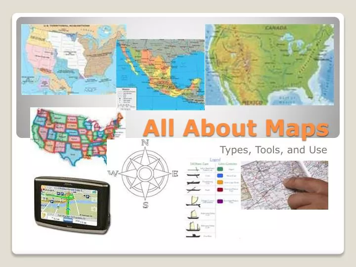
All About Maps Types, Tools, and Use
A person who makes maps • Early map makers turned maps into a work of art • Today computers are used to make maps accurate What is a Cartographer?
Globes • Most accurate representation of the earth • Not convenient • Behaim’s Globe: 1st round map but it was missing the America’s What is the most accurate map?
Imaginary lines on the globe mark locations on earth • Grid is made up of latitude and longitude lines • Where lines cross or intersect gives absolute location • Also divide earth into hemispheres What is the Geographic Grid System?
What is the Geographic Grid System? • Longitude Lines • Also called meridians • Go from north to south • Not parallel • Prime Meridian is 0 degrees longitude • Latitude Lines • Also called parallels • Go from east to west • Equator line is 0 degrees latitude
What other ways is earth mapped? • Map projections • Way of representing earth on a flat surface • All map projections change the actual shape of the earth • Polar projection • Mercator projection • Robinson projection
What are the different types of maps? • Physical Maps • Show mountains, lakes, rivers, and other physical features • Political Maps • Show boundaries such as countries, states, provinces • Historical Maps • Economic activities, migration, battles,
What tools help us read maps? • Legend • Compass Rose • Cardinal directions: North South East West • Scale • Ratio between distance on map and actual distance on earth • Symbols, Lines, Color
Let’s Practice! • Using Scale