Download
1 / 35
350 likes | 357 Vues
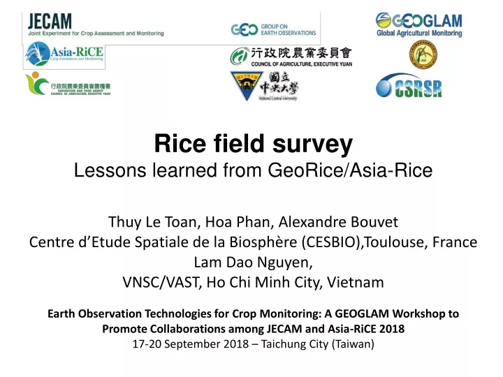
R ice field survey Lessons learned from GeoRice /Asia- Rice Thuy Le Toan , Hoa Phan, Alexandre Bouvet Centre d’Etude Spatiale de la Biosphère (CESBIO),Toulouse, France Lam Dao Nguyen, VNSC/VAST, Ho Chi Minh City, Vietnam.

E N D
Ricefieldsurvey LessonslearnedfromGeoRice/Asia-Rice Thuy Le Toan, Hoa Phan, Alexandre Bouvet Centre d’Etude Spatiale de la Biosphère (CESBIO),Toulouse, France Lam Dao Nguyen, VNSC/VAST, Ho Chi Minh City, Vietnam Earth Observation Technologies for Crop Monitoring: A GEOGLAM Workshop to Promote Collaborations among JECAM and Asia-RiCE 2018 17-20 September 2018 – Taichung City (Taiwan)
GEORICE: canwemeet the requirementsusing Sentinel-1 data ? VH VV Automatically dowloaded and preprocessed at CESBIO 05 May 2017 Every 12 days except few gaps 6 days with Setinel-1B since 1 Oct 2016 Big Data challenge
Technical challenges in methodologydevelopment S1 backscatterhighly variable amongricefields Due to diversity of rice crop calendar, varieties and cultural practices 10/01/2015 VH Examples of RGB combinations of different dates of Sentinel-1 over rice fields in the An Giang province
Research needed for method development • To understand the S1 response of ricefieldswith a diversity of riceecosystems over large areas (countries and beyond) and continuouslychanging conditions to adapt to industrialisation, laborshortage, climate change, production cost • Rainfed, irrigated, uplandrice, deep water rice, floatingrice, • Single, double, triple ricecrops, mixed rice & othercrops or LU • Ricevarieties, short cycle, long cycle • Cultural practices: transplanting, direct seeding, • Water management in irrigatedrice: continuousflooding or Alternative Wet Dry (AWD) • Field size: small , large • Diversity of inter-field and interannualricecropcalendar • Mechanization: high, low • Effect of climate change /disaster
Research needed for method development • Researchtopic: whatgoverns the radar backscatter of ricefields, and the impacts of changing conditions ? • Experiment: to study the temporal, polarization, and incidence angle behavior of the (S1) backscatter of ricefieldsfrom a set of sampledfieldswith a diversity of conditions • Whatfieldsurveyacross the diversity of riceecosystems and conditions ?
Ground surveyneeded for: • Understanding of the information content of the SAR • data wrtcrop type and condition • 2. Development of mapping and retrievalmethodswith • errorassessment • 3. Validation of the results
Ground survey for backscatter understanding • Survey across countries with a diversity of conditions • Need standardisation of survey/measurementmethod • (e.g. within Asia-Rice ) • First phase: surveywithin a large regionwithsampledfieldsrepresenting a diverstity of conditions • Need a high number of samples
In situ data for understanding of the radar backscatter and algorithm development Survey by the University of An Giang In collaboration with the VNSC /STAC) and CESBIO General: Day of sowing Rice varieties Planting density Harvest date Rice Yield Intensive information: Phenological stage Height Biomass Soil condition Water management Uniformity of plant height 60 sampling fields have been surveyed in An Giang at the same dates of S1.
Statisticalassessment of ground data: • the calendarcan spread over 45 days and can have light shift • (15 days) betweenyears Start of Season Harvest Day of Year
Plant height as a function of plant age: effect of cycle duration
Rice phenology for short/long cycle rice TOTAL 90 to 140 days 12 stages Vegetative Reproductive VEGETATIVE 25 to 75 days REPRODUCTIVE 35 days RIPENING 30 days Ripening Germination Panicle initiation End of flowering Mature grain Erectophile structure More random structure
Rice phenology for short/long cycle rice Vegetative Reproductive Ripening
Rice phenology for short/long cycle rice Vegetative Short cycle rice Heading Long cycle rice Reproductive Ripening
Understandig rice backscatter temporal evolution Modelling work with RADARSAT-2 (data from Asia-Rice) HV Stem elongation Heading Tillering Heading
Understanding backactter evolution the rice cycle Flowering Heading Beginning tillering
Understanding backactter evolution the rice cycle Flowering Heading Beginning tillering
Understanding backactter evolution the rice cycle Interseason Flowering Heading Beginning tillering
Multi-year analysis of rice backscatter NDVI (ProbaV) HV VH VV VV VH/VV VH/VV Thuy Le Toan
Sentinel-1 backscatter time series of rice fields Example of time series of VH/VV and VV backscatter of 18 fieldshavingsamericecalendar VH/VV Every 6 days S1_2015 S1_2017 S2_2017 VH/VV VH Vegetative Reproductive Ripening
Derivingrice monitoring indicators • Rice/non rice indicators: specific temporal increase • Start of season from beginning of tillering (20 days) • Rice phenology: use of temporal trajectory of rice phenology, -threshold depending on polarisation, incidence angle (and other LULC)
Effect of incidence angle and descending, ascending orbits
Derivingrice monitoring indicators • Rice/non riceindicators: specific temporal increase • Start of seasonfrombeginning of tillering (20 days) • Ricephenology: use of temporal trajectory of ricephenology, -thresholddepending on polarisation, incidence angle (and other LULC) Alsostudied: • the effects of plantingmethods: transplanting, direct seeding • the effects of short/long cycle • the effect of smallfields
Size and localisation of sampled fields Wrt geometric accuracy of rice products 1. Ricemapgeometricaccuracy of 1-2 pixels (mixed pixels at the border) 2. Small fields of few pixels mis-located (3 over 60) Goodge map Rice map (green) generate from Sentinel-1
Data for rice/non rice validation • In each of the 3 major riceregions in the Mekong delta • GPS samples of riceplanting areas + • 30 other LULC • In total, 413 data points x 5 seasonsat S1 dates
GPS Check points for assessment of Rice/non rice detection performance Green: rice planting area for a rice season The Mekong Delta: ~420X5 independent check points: 98%. Error sources: The precision of the GPS coordinates The selected time interval for rice mapping method
Validation of phenological stage An Giang The Mekong River Delta, 30 January 2016 Kien Giang Can Tho
Rice phenology detection Map of the phenological stages at the date of 10/06/2016 in the region of An Giang
In situ rice phenology verification Ripening Reproductive The % of good detection for 60 samples is 98.3%.
Agency statistics data for assessment of estimates of rice grown areas? Rice planted Area (in ha) For Summer-Autumn season 2016 provided by 13 provinces and estimated by GEORICE
Rice area statistics Rice area extent for Summer-Autumn 2016 crop in the Mekong Delta Comparison GEORICE estimates and Agency statistical data
Rice area statistics S1 data used for Summer-Autumn rice season Change in start of season in 2016 to avoid drought /saline intrusion as observed in 2015 Over 11 other provinces: 98,3% agreement Calendar of the Summer-Autumn rice season in 2016 in the Mekong Delta
Lessonslearned Field survey needs to be designed to account for a diversity of rice conditions Ground data collection practices need to be updated Quantitative assessments are still needed to improve the sampling method Experiments/validation across a diversity of sites/countries are a necessity.