Download
1 / 3
30 likes | 32 Vues
The Remote Sensing Services market is projected to grow from USD 13.2 billion in 2022 to USD 26.6 billion by 2027, at a CAGR of 14.9%.

E N D
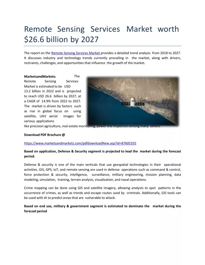
RemoteSensingServicesMarketworth $26.6 billion by2027 The report on the Remote Sensing Services Marketprovides a detailed trend analysis from 2018 to 2027. It discusses industry and technology trends currently prevailing in the market, along with drivers, restraints, challenges, and opportunities that influence the growth of themarket. The RemoteSensingServices MarketsandMarkets: Market is estimated to be USD 13.2 billion in 2022 and is projected to reach USD 26.6 billion by 2027, at a CAGR of 14.9% from 2022 to 2027. The market is driven by factors such as rise in global focus on using satellite, UAV aerial images for variousapplications like precision agriculture, real estate monitoring, power line inspection among many others. Download PDF Brochure @ https://www.marketsandmarkets.com/pdfdownloadNew.asp?id=87605355 Based on application, Defense & Security segment is projected to lead the market during the forecastperiod. Defense & security is one of the main verticals that use geospatial technologies in their operational activities. GIS, GPS, IoT, and remote sensing are used in defense operations such as command & control, force protection & security, intelligence, surveillance, military engineering, mission planning, data modeling, simulation, training, terrain analysis, visualization, and navaloperations. Crime mapping can be done using GIS and satellite imagery, allowing analysts to spot patterns in the occurrence of crimes, as well as trends and escape routes used by criminals. Additionally, GIS tools can be used with AI to predict areas that are vulnerable toattack. Based on end use, military & government segment is estimated to dominate the market during the forecastperiod
The innovation of remote sensing technology plays a vital role in defense forces. Geographical Information Systems (GIS) have provided essential and accurate information to military operations. Military commanders’ concept of Command, Control, Coordination, and Communication depends largely on spatial data fromGIS. Battlefield management is a system that integrates, monitors, and processes information to enhance efficient command and control military operations. Remote sensing technology has changed the way battles are planned during wars. The military commander in the battle uses spatial data and GIS systems for digital mapping, planning for battlefield operations, and commandcontrol. Satellites owned by private companies have played an unexpectedly important role in the war in Ukraine in early August2022. Based on type, aerial photography & remote sensing segment to have highest market share in2022 Aerial photography is being used widely for archaeological purposes due to the fact that remote sensing data helps to recognize site locations and record and monitor changes in their landscapes through time. It is also used to discover subsurface features by means of the topsoil characteristics or by stereoscopic examination of images. Inspection of low-altitude oblique and vertical photographs can detect textural soil variations, such as shadow marks, crop marks, and soil marks; most of which are caused by the disturbances of the soil's matrix by the presence of underground features and the corresponding differences in moistureconditions. North America accounted for the largest share of the remote sensing services market in 2022. The presence of major service providers, such as Maxar Technologies (US), Planet Labs PBC (US), and Terra Remote Sensing (Canada), is one of the most significant factors driving the demand for remote sensing services in this region. North America is expected to continue its dominance in the remote sensing services market during the forecast period. However, the market in Asia Pacific is projected to record the highest CAGR of 17.5% during the forecastperiod. Ask for Sample Report@ https://www.marketsandmarkets.com/requestsampleNew.asp?id=87605355 AboutMarketsandMarkets™ MarketsandMarkets™ provides quantified B2B research on 30,000 high growth niche opportunities/threats which will impact 70% to 80% of worldwide companies’ revenues. Currently servicing 7500 customers worldwide including 80% of global Fortune1000companiesasclients.Almost75,000topofficersacrosseightindustries
worldwide approach MarketsandMarkets™ for their painpoints aroundrevenues decisions. MarketsandMarkets’s flagship competitive intelligence and market research platform, "Knowledgestore" connects over 200,000 markets and entire value chains for deeper understanding of the unmet insights along with market sizing and forecasts of niche markets. Contact: Mr. Aashish Mehra MarketsandMarkets™INC. 630 DundeeRoad Suite 430 Northbrook, IL60062 USA:1-888-600-6441