Download
1 / 36
360 likes | 604 Vues
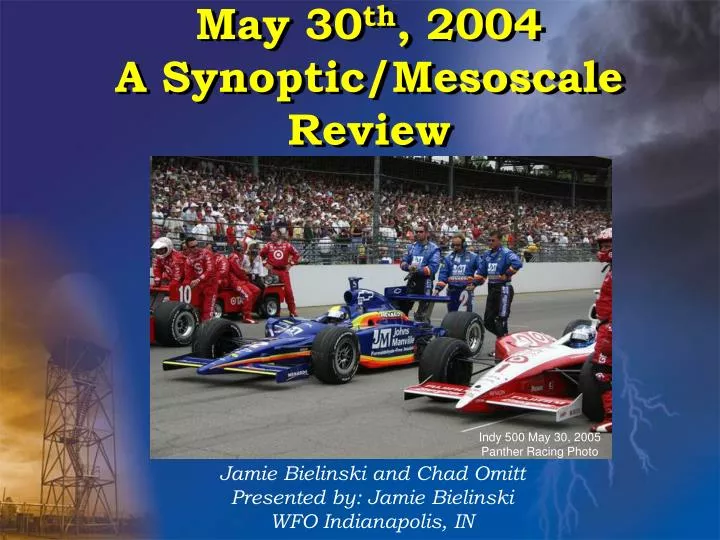
May 30 th , 2004 A Synoptic/Mesoscale Review. Jamie Bielinski and Chad Omitt Presented by: Jamie Bielinski WFO Indianapolis, IN. Indy 500 May 30, 2005 Panther Racing Photo. May 30 th tornado outbreak. 23 tornadoes reported across Indiana 1 death in Crawford County

E N D
May 30th, 2004A Synoptic/Mesoscale Review Jamie Bielinski and Chad Omitt Presented by: Jamie Bielinski WFO Indianapolis, IN Indy 500 May 30, 2005 Panther Racing Photo
May 30th tornado outbreak • 23 tornadoes reported across Indiana • 1 death in Crawford County • 2nd largest outbreak in state history
Sporting Events on May 30, 2004 • Indianapolis 500 • Lap 180 checkered flag fell • Fans were asked to evacuate the stands when Tornado warning was issued a little past 6:00 pm • Indiana Pacers Playoffs, Conseco Fieldhouse • Fans were asked to return to their seats due to severe weather in the area (Under the dome) Tornado traveled within 6 miles of these events
Synoptic Set-up Indy 500 May 30, 2005 Panther Racing Photo
MesoscaleSet-up Indy 500 May 30, 2005Jerry Snook Photos
SPC Meso-ParametersWhat to make of the data • LFC HT/low level CAPE proved to be a useful indicator early in the event in discriminating between sfc based vs elevated storms i.e. location of front. • Low level Shear parameters such as 0-1km SRH and 1km Shear provided a general idea of environmental shear/helicity. • Take note of trends in data. We noticed that the axis of max low level shear/helicity moved east with time toward the IND metro area. Can also monitor this via RUC or LAPS soundings.
Mesoscale AnalysisWhat we have/continue to learn • Combine knowledge of the parameter fields with the sfc pattern. • For example, in this case CAPE, SRH, Deep Shear, the low level thermo parameters were all generally favorable to support supercell tornadoes in the airmass near and south of the warm front. • However, the warm front provided the appropriate focus and local enhancement within the larger environment (e.g. backed winds, pooling tds/lower cld bases. We have to anticipate boundaries
Mesoscale AnalysisParameters important to tornadogenesis Sufficient 0-6km Shear/low LFC HT & Source of Low level Helicity/ Low level Shear What values are meaningful? • 0-6km Shear >35kts? Davies suggests >=40kts • 0-1km SRH ~ 100?? The higher the better? • 0-1km Shear > 15-20kts?? The higher the better? • 0-3km CAPE ~ >60j/kg Bigger means better? • LFC HT ~ <1500m Lower means better? Do these work for Indiana?
ConclusionWhere do we go from here? • We MUST Improve! Environmental Data into our Warning decision making is a good start. • If we are to improve our Warning skill, then we must understand what mesoscale parameters are important to tornadogenesis, especially your local cwa. • LOCATE and MONITOR surface boundaries which act to augment environmental SRH and low level SHEAR and monitor values of LFC/0-6km shear being mindful of how values are changing.
Suggested improvements • Accurate real-time environment data • Easier/faster access to surrounding FO’s radar • KIND radar went down at 6:30 am • ET’s kept radar up and down until 4:00 pm • Radar went down for good at 4:30 pm • SPC Mesoscale Analysis Page into AWIPs?
What worked well • SPC Mesoscale Analysis page • Knowledge of frontal position and boundaries • Sectorized into 3 sections for warnings • Good media coverage
What did not The Radar
Current/Future Research • Use of SPC Mesoanalysis archive page • 8 Cases (or more) • 7 Tornadic • 1 Null • Parameters Explored • LFC, LCL, 0-1km SRH, 3km CAPE and 0-1km Shear Vector
Current/Future ResearchPreliminary Results • Both LFC and LCL • Below 800 m for tornadoes • Additional parameters under investigation