Download
1 / 14
140 likes | 276 Vues
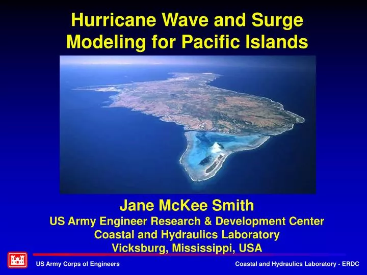
Hurricane Wave and Surge Modeling for Pacific Islands. Jane McKee Smith US Army Engineer Research & Development Center Coastal and Hydraulics Laboratory Vicksburg, Mississippi, USA. Introduction. Island communities are vulnerable to storms Nowhere to evacuate

E N D
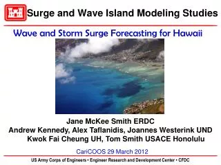
Hurricane Wave and Surge Modeling for Pacific Islands Jane McKee Smith US Army Engineer Research & Development Center Coastal and Hydraulics Laboratory Vicksburg, Mississippi, USA
Introduction • Island communities are vulnerable to storms • Nowhere to evacuate • Infrastructure within hazard zone • Unique/Important Island Features & Physics • Steep slopes • Reef roughness • Reef flat dynamics (ponding, wave reformation) • Importance of waves • Growth of long waves
Pacific Islands Land-Ocean Typhoon (PILOT) Exp. Surge & Wave Island Modeling Studies (SWIMS) • Objectives: • Collect coastal processes data under typhoon and high-wave conditions in island environments • Improve model physics and tool for island application for emergency management and design Products • Field data sets: • Guam • Saipan • Oahu, Hawaii • St. Croix, VI • Laboratory Data Sets (2D/3D) • Model Improvements • Fast Forecasting System Hurricane Iniki,
SWIMS Fast Forecasting System • Pre-run storms with high-fidelity models • ADCIRC • unSWAN • BOUSS-1D • Create database of response • Develop surrogate model to forecast inundation • Deterministic • Probabilistic • Hurricane Evacuation Studies Mass Management System • Interface for Emergency Managers (MMS) • Team: ERDC, University of Notre Dame, University of Hawaii, and Honolulu District
HAKOU-2010-r02 Model • Domain incorporates Hawaiian Islands and north central Pacific Ocean • Grid resolution ranges from 30 m on land and in the nearshore to 5000 m in deep water • Fully incorporates high resolution features, channels, coral reefs and wave breaking zones • 1,590,637 nodes, 3,527,785 elements
5 Parameters: Landfall location xo Angle of approach a Central pressure cp (hurricane intensity) Forward speed vf Radius of maximum winds Rmax Hurricane Characterization xo a
Basis storm tracks • Five base storm tracks determined from hurricane climatology in communication with the NWS • Tracks and hurricane parameters are varied to give a matrix of potential storms that will bound most possible landfall scenarios in Oahu Base storm tracks for Oahu landfall. These are shifted to give different landfall locations.
Pre-run and store suite of basis hurricane scenarios that cover expected range of future events Based on basis scenarios predict the output for any new hurricane scenario (i.e., create a surrogate model) Prediction of Hurricane Output for New Scenario Basis hurricane scenarios New hurricane scenario
Comparison of Hurricane Output Predictions High-fidelity model predictions Surrogate model predictions
Uncertainty in all hurricane parameters (described by probability models) Use the surrogate model to predict Deterministic scenario Average (expected) output Output with certain probability of being exceeded Probability (%) of exceeding a specific threshold Probabilistic Prediction of Hurricane Output (Risk) Current hurricane location Expected hurricane track Cone of potential tracks
Areas of Collaboration • Gain efficiencies by sharing methods, data, and results (NWS, PDC, local groups), but FEMA, … • Standardize models & methods ~ best practices • Process models & modeling • Probability models • Common outputs/definitions (EM) • Exceedence percentages • Durations and recession times • Inundation (SWL, x% runup) • Inland wave propagation problem • Speak with a unified voice across Fed agencies • What to do and how to do it