Download
1 / 28
290 likes | 489 Vues
Evolvement of Information systems in Fiji. Department of Lands and Surveys Suva, FIJI. Introduction Fiji Land Information Systems. Why FLIS?. quality of land information in Govt. agencies? fragmented and stand-alone information gathering & storage – cannot combine

E N D
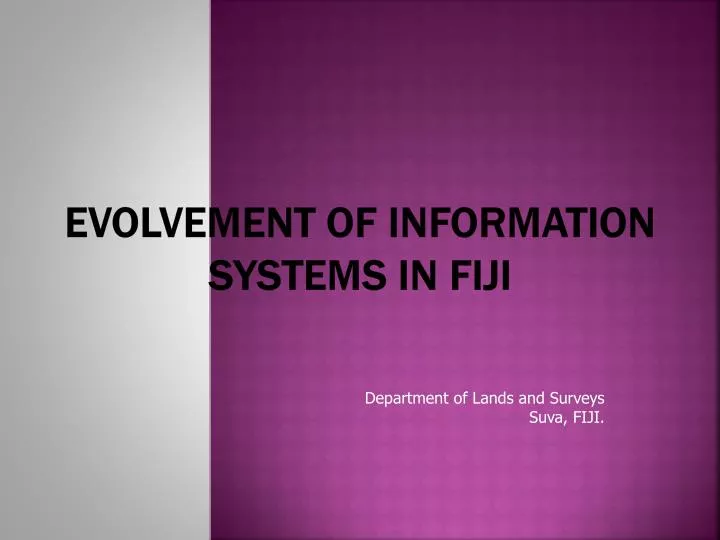
Evolvement of Information systems in Fiji Department of Lands and Surveys Suva, FIJI.
Why FLIS? • quality of land information in Govt. agencies? • fragmented and stand-alone information gathering & storage – cannot combine • lack of access to land information – led to duplication • lack of knowledge - technology • lack of land information (geospatial) resources available to meet current and future needs • no standardization of data and interoperability required • lack of appropriately qualified and experience people in Govt. agencies – sustainability and continuity? • lack of funding for individual agencies to work on their own
Functions of the FLIC • develop and coordinate all FLIS projects • define, fund and resource all approved FLIS projects • formulate policies on data generation and management in the agencies encompassed by the FLIS umbrella, data standards, the use and dissemination of LIS data – including custodianship, pricing, privacy, security and access. • training and education • liaise with the private sector and the user community • ensure that FLIS projects are properly cost-justified and the project timetable are adhered to • manage and direct the FLIS Support Centre • promote all publicity and other information to keep all sectors of the community informed on progress and products.
FLISSC User Group Mineral Resources Lands IT Services Fiji Pine Information Agriculture National Planning Fiji Land Information Council Justice PM Office Tourism Works & Energy Fisheries & Forests Local Govt & Housing PSC Town & Country Planning iTLTB iTaukei Affairs Utilities Telecom/FEA Finance
FLISSC User Group Mineral Resources Lands IT Services Fiji Pine Information Agriculture National Planning Fiji Land Information Council Justice PM Office Tourism Works & Energy Fisheries & Forests Local Govt & Housing PSC Town & Country Planning iTLTB iTaukei Affairs Utilities Telecom/FEA Finance
COMMITMENTS ……….. • Hesitancies of each agency despite support of NZ Government • Territorialism in terms of data • Reluctance to adapt to automation of process • Traces of colonialism administrative process and style entrenched in the bureaucratic system • GIS and RS learning NOT strengthened • How FLIS set up was viewed
FLIS Core Systems 8 Provisions for the capture, update and disseminations of base data Graphics: 1. Computerised Cadastral Mapping Systems (CCMS) Computer based representation of all legal land parcel boundaries in Fiji. It comprises over 90,000 land parcels, together with their legal identifiers.
2. FijiTopo Database GIS of fully structured topographic data derived from 1:25,000 scale national mapping and aerial photographs.
10 3. Native Land Commission Mapping System - NLFC The GIS database that contains spatial representation of all land parcels (over 13,000 parcels) recorded on the Native Land Commission (NLC) maps.
4. National Land Register The GIS database that will contain spatial representation of all land parcels of all types of land in Fiji – customary land, state land and freehold and all attributes
5. National Land Utilization Master Plan The GIS database that will contain all existing developments in Fiji, their locations and relevant attributes.
Non-graphics 1. Survey Plan Journal Holds details of each parcel created in all approved and not approved survey plans, and tracks the processes of survey plan checking to being approved and signed by DLSG.
2. Valuation Records Holds all valuation assessments records made by the Dept. of Lands & Survey, as well as details of property sales in Fiji.
Continue: 4. State Lease Administration System. Contains details of over 51,000 Lands Dept (LD) files created to-date and including details of registered and un-registered State leases and Native leases to State, and records related actions undertaken and movement of files. 5. Native Land Commission (NLC) Report – NLFC, Min. of Fijian Affairs An inventory of all Native Land as registered in the NLC Report, and links to the associated land owning units. 6. VolaniKawaBula – NLFC. Min. of Fijian Affairs A record of all indigenous Fijians referenced to the land owning unit – Mataqali, Tokatoka, etc. 7. State Land Rental System Contains Rental details of all registered and un-registered State Leases and Native Leases to State – over 18,000 The System is linked live to Divisional Offices in Lautoka and Labasa through ITC services.
Other FLIS System 1. Survey Plan Imaging A viewing package of all scanned approved survey plans and related documents.
2. Fiji Geodetic Database Holds records of all geodetic controls in Fiji, – first, second and third order
3. Cities & Towns Zone Mapping System – for Dept Town & Country Planning An intelligent mapping system that holds details of both cities (Suva & Lautoka) and towns zoning plans. 4. National Census Mapping System – for BOS Holds records of National Census Boundaries – 1976, 1986 and 1996, & 2007. 5. Government Rented Quarters – for Public Service Commission An inventory of all buildings rented by State for office space and staff quarters
Adaptations • location-based policies and the effective use of geospatial information are powerful drivers for sustainable development. • need for an appropriate geospatial information infrastructure at all levels (local, national, regional) that can provide a geospatial integrative framework necessary to build a solid information base for accurate description
SUSTAINABLE DEVELOPMENT Mineral Resources Lands IT Services Defense Fiji Pine Information Agriculture National Planning Geospatial Information Justice PM Office Tourism Works & Energy Fisheries & Forests Local Govt & Housing PSC Town & Country Planning iTLTB iTaukei Affairs Utilities Telecom/FEA Finance OTHERS
Challenges • Connectivity – GovNet (ITC Services) • Data Quality – Reference for Standards and Need to adapt to the Global Reference Frame • Data sharing – policy to strengthen - Access to remotely sensed data limited • Funding/Budget • Staff Retention – human resources are the most important component of Geospatial Information infrastructure. GI without people has no value. • Technology adaptation vs. costs • Sustainability
Way forward • look at ways to increase capacity and reduce the digital divide • Promoting geospatial advocacy and awareness • review educational strategies to improve the awareness and literacy levels of geospatial information • knowledge sharing • review policy options and the role of government regarding privacy and confidentiality of geospatial information • mechanisms for the government institutions to learn from each other and to share their concerns