Download
1 / 22
220 likes | 285 Vues
Learn about the prototype GIS-based system for scheduling, routing, and dispatching flexroute transit services. Discover its performance and advantages for transit operations.

E N D
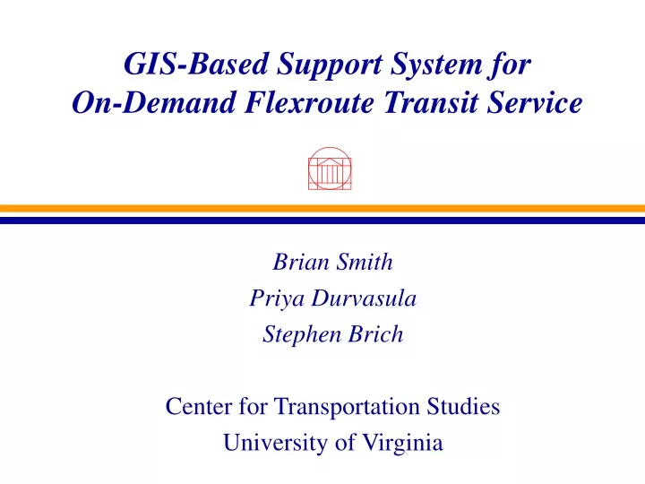
GIS-Based Support System forOn-Demand Flexroute Transit Service Brian Smith Priya Durvasula Stephen Brich Center for Transportation Studies University of Virginia
Presentation Outline • Operations vs. Planning • Flexroute Transit • Flexroute Scheduling & Routing • Prototype GIS-Based System • Performance • Conclusions
State-of-the-Practice • Public transportation planning applications • Ridership forecasting • Route planning • Asset management
Necessary Investments • Hardware and software • Training • Data, Data, Data • 50% - 80% of total cost • Can these investments be used directly to support transit operations?
Flexroute Transit • Small number of fixed stops with predetermined schedule • Provide on-demand service between fixed stops when feasible • Required subsystems • AVL • Communications • Schedule/Dispatch Support System
Flexroute Scheduling & Dispatching • Direction of Travel • Inbound/Outbound • Spatial Location of Requests • Relation to Fixed Stops • Temporal Requirements • Feasibility of Service Provision • Manage Committed Rides
GIS-Based Prototype • ESRI’s ArcView • Avenue (55 scripts) • Dialogue Designer • Network Analyst • Transportation Network • TIGER • Data Management • Shapefiles
Pentran -- Agency Partner • Peninsula Transportation District Commission • Hampton, Newport News Virginia • Routes 10 & 11 • Low density • Suburban, semi-urban • Low ridership • Transfer
Software Development • Functional requirements • Formal design document • Application development • User acceptance testing
GIS Functionality • Address Geocoding • Use of map interface to fine-tune if necessary (reverse geocoding) • Allows for trip direction to be determined • Analysis of Spatial Relations • Buffers created to determine initial ride eligibility • Overlay operation
GIS Functionality (ctd) • Network Analysis • Shortest path problem with time window constraints • Shortest path between fixed stops servicing each committed on-demand stop • If adding a new trip violates time constraints, trip is not allowed • Use of map interface to search for feasible alternatives
Performance • 4 minutes, on average, required to schedule a trip • Includes “customer interaction” time • Pentium-class PC • Desktop GIS functionality adequately supports requirements.
Conclusion • GIS can and should be used as a tool in transit operations. • Significant advantages • reuse of data • training • avoid closed, proprietary solutions • Pentran is pursuing a trial implementation of flexroute service