Download
1 / 3
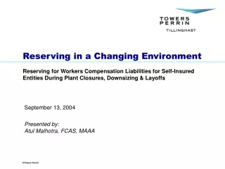
30 likes | 36 Vues
ScanTech International has been providing 3D laser scanning services across a range of industry sectors since 2002. Our services include 3D Laser Scanning, BIM Modelling, Topographical Survey, Gauging, Monitoring, Measured Building Surveys & more.<br>For more information:http://scantech-international.com/

E N D
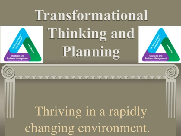
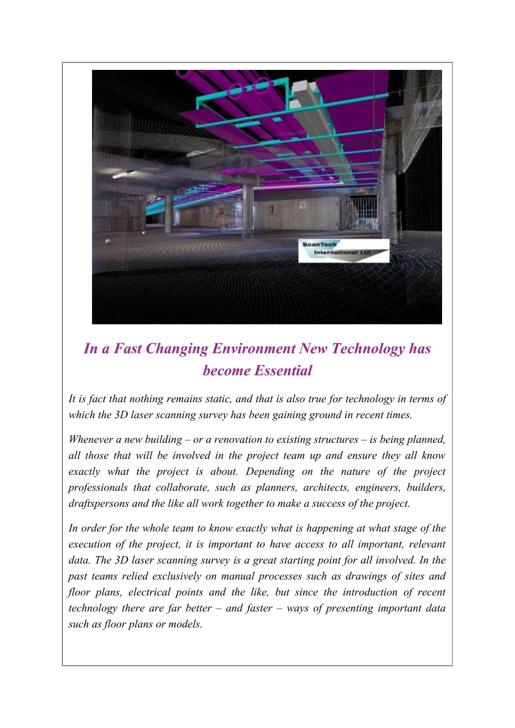
In a Fast Changing Environment New Technology has become Essential It is fact that nothing remains static, and that is also true for technology in terms of which the 3D laser scanning survey has been gaining ground in recent times. Whenever a new building – or a renovation to existing structures – is being planned, all those that will be involved in the project team up and ensure they all know exactly what the project is about. Depending on the nature of the project professionals that collaborate, such as planners, architects, engineers, builders, draftspersons and the like all work together to make a success of the project. In order for the whole team to know exactly what is happening at what stage of the execution of the project, it is important to have access to all important, relevant data. The 3D laserscanning survey is a great starting point for all involved. In the past teams relied exclusively on manual processes such as drawings of sites and floor plans, electrical points and the like, but since the introduction of recent technology there are far better – and faster – ways of presenting important data such as floor plans or models.
New technology is also more effective and less prone to mistakes and inaccurate data that the team requires. New technology is introduced all the time and depending on the nature of the project, it is possible to negate the older methods or combine the old and the new during the lifecycle of the project. With 3D laser scanning surveys much time is saved because the technology is designed to capture data fast and to be presented much quicker than the manual processes ever did. These surveys are carried out by firms that employ people with the knowledge to use these scanners, interpret the data and send it to the client that needs it. The surveyor uses the scanner to capture data fast and with mainly zero failure. Any surface can be scanned, and 3D laser points then provide the data needed. 3D laser scanning instruments are used to collect the data from the surface in question – the 3D laserscanning surveyis carried out in terms of which virtually any inaccessible or complex geometrical areas are scanned for the desired results. Once the surveyor has scanned the area, he/she will use the appropriate visualisation software back at the office to present the 3D model that is required for the completion of the project. The information so collected can then be transported to CAD in 2D or 3D models to be utilised by the responsible professionals with regard to their project. Using this technology opens up many great benefits for the client: time is saved, costs can be cut, and virtually any site or surface can be scanned during the 3D laser scanning survey. Some of these are: building sites, heritage sites, industrial environments and say, highways and roads. There is literally nothing that can’t be scanned for the purposes that clients need these surveys for. As is the case with all new technology, the first scanners were used by only a few companies, mainly because the technology was new, equipment big and cumbersome and cost often prohibitive. As technology has advanced, 3D is much more accessible for all, and also less expensive. The result is that more companies are starting to use the 3D laser scanning survey technology on a regular basis. Also, software that deals with data storage and interpretation of scanned point clouds has become much more sophisticated. Industry members all agree that companies that use the best scanners and software to interpret and store collected
data are the ones who will attract clients quicker than others, since it is true that not all equipment is equally good. The client will, therefore, have to do a bit of homework to find the firm best suited to his/her scanning needs. About Us Scantech International works closely with professionals from numerous sectors such as Heritage, Transport, Plant and Railway Surveys, the Building Industry and the Nuclear Sector to bring them the latest in 3D Laser Scanning, BIM modelling and accurate as-built data. Our experience and skills at what we do help us to offer a great service that brings our clients the best in terms of the most advanced 3D Laser Technique practices that their industries can benefit from. We recognize the importance of all our clients in the success of our own business and ensure that they add value to their own endeavours as a result of their association with us. For more about us, please visit http://scantech-international.com/