Download
1 / 25
250 likes | 362 Vues
Current Status of MAHASRI and AMY. http://mahasri.cr.chiba-u.ac.jp /. http://www.wcrp-amy.org/. Jun Matsumoto JAMSTEC/ IORGC Department of Geography, Tokyo Metropolitan University. The International MAHASRI/HyARC Workshop on Asian Monsoon and Water Cycle,

E N D
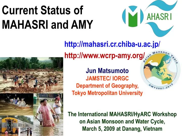
Current Status of MAHASRI and AMY http://mahasri.cr.chiba-u.ac.jp/ http://www.wcrp-amy.org/ Jun Matsumoto JAMSTEC/ IORGC Department of Geography, Tokyo Metropolitan University The International MAHASRI/HyARC Workshop on Asian Monsoon and Water Cycle, March 5, 2009 at Danang, Vietnam
Objective "To establish hydro-meteorological prediction system, particularly up to seasonal time-scale, through better scientific understanding of Asian monsoon variability".
Key Science Issues How atmosphere-ocean-land interacts in the Asian monsoon system? What scale-interactions exist among diurnal, synoptic, intraseasonal and seasonal variability of Asian monsoon rainfall? What is the effect of various-scale orography on monsoon rainfall? How on hydro-meteorological variations in Asian monsoon regions are affected by human influences (i.e., aerosols, land-use change, and greenhouse-gas increase)?
MAHASRI and related Japanese Projects (JEPP) MAHASRI JEPP: Tibet JEPP: Thailand JAMSTEC/IORGC: Palau JEPP: Indochina JEPP: Indian JEPP: Maritime Ocean continent
Matsumoto JEPP IP Japan EOS Promotion Program (JEPP) Theme 2-2 by Prof. Matsumoto, U-Tokyo Development of rainfall observation system in Southeast Asia Objective: Develop rainfall observation system in order to understand water cycle and its variability by climatic changes in tropical Asian monsoon region over Indochina (1)Research on rainfall distribution (2)Research on flood prediction Rainfall observation by automatic rain Rainfall estimation using radar and gaugesand development of real-time satellite observationand its data transmission system application to flood prediction Automatic rain gauge Networks India, Bangladesh36 Thailand18 Vietnam33 Rainfall estimation by satellite observation 18N Radar data + Raingauge data → Composite rainfall data Similar to Radar-AMeDAS system in Japan Flood prediction
Stream line and meridional wind speed at 925hPa(11/2) Synoptic-scale processes Velocity potential anomaly at150hPa CS 11/02 TD 0 120E 360 Time- lat. Section of v-wind in 110-120 E 11/02 50N 40N 30N 20N 10N Cold surge(CS) ・Orography ・Low level convergence TD in SCS South China Sea Persistent orographically enhanced rainfall Active MJO 10/29 10/31 11/02 11/04
Percent variance of intra-seasonal variation (ISV) Downa Range 30-60-day variation 10-20-day variation ISV variance of precipitation over Indochina Peninsula • 210 raingauge sites • rainy season • 1978-2003 Yokoi, Satomura & Matsumoto, 2007: Climatological characteristics of the intraseasonal variation of precipitation over the Indochina Peninsula. J. Climate, 20, 5301-5315. o: statistically significant variance • High variance area: • - 30-60-day variation: WEST (windward side) of major mountain ranges (coastal area of Myanmar, southern Laos & central Vietnam) • - 10-20-day variation: coastal area of Vietnam & inland areas • Sharp contrast across the Downa Range (especially, for the 30-60-day variation)
(normalized by red noise variance) 30-60-day variation 10-20-day variation ISV variance of radar reflectivity over western ICP Om Koi Radar Yokoi & Satomura, 2008: Geographical distribution of variance of intraseasonal variations in western Indochina as revealed from radar reflectivity data. J. Climate, in press. • 3km CAPPI • May-Sep, 1998-2000 [km] [km] Red & pink shadings indicate statistically significant variance at 95% & 99% confidence levels, respectively. + High variance area: - 30-60-day variation: coastal areas WEST of the Downa Range. - 10-20-day variation: inland areas EAST of the Downa Range.
Relationship with topography 30-60-day variation A’ B’ 10-20-day variation A B Downa Range • Both variance varies sharply over the Downa Range. Yokoi & Satomura, 2008: Geographical distribution of variance of intraseasonal variations in western Indochina as revealed from radar reflectivity data. J. Climate, in press.
Manado Padang Kototabang Pontianak Biak HARIMAU (Hydrometeorological ARray for ISV-Monsoon AUtomonitoring)Japanese EOS Promoting Program (JEPP) Sept., 2008 Feb. 22, 2007 Mar 11, 2007 Manado Pontianak Biak ITRC 9.7GHz XDR 47-MHz EAR 1.3-GHz BLR 1.3-GHz New BLR (LQ7)
The Feb 2007 Jakarta flood 2/2/07 (www.indonesiatech.com) 2/3/07 Mark Forbes (Wikipedia) 2/2/07 (lautjenny.blogsome.com) News pictures Time
Diurnal cycle enhanced by monsoon beyond equator 31 17:27 LT 02 06:30 LT 31 12 LT 31 17 LT 01 04 LT 01 12 LT 01 17 LT 02 04 LT 31 16 LT 31 18 LT 31 20 LT 01 00 LT 01 16 LT 01 19 LT 01 20 LT 02 03 LT (Wu et al., 2008, SOLA) (Jan-Feb 07 Jakarta flood)
AMY (Asian Monsoon Years) 2007-2012 http://www.wcrp-amy.org/ The goal of AMY 2007-2012 is to significantly advance our understanding of the physical processes determining the Asian monsoon variability and predictability, to improve Asian monsoon predictions on intraseasonal and seasonal time scales for societal benefits as well as for additional benefit of each participating projects, and to promote applications in order to support strategies for sustainable development.
Classification of AMY Projects Plus other National & International contributions
Daya Bay coastal sta. Sanya Bay coastal sta. SCSIO version of the SCS network Ongoing repeated cruises: the northern SCS and southern SCS annual cruises. Planned time series sites: Xisha Isl. Sta. & Nansha Isl. Sta.
Table 3 List of planned AMY intensive meso-scale observations
Table 4 List of planned AMY intensive aerosol and other material observations
Observations Make a catalogue of scientific observations (in progress) Request operational agencies for the necessary data through WCRP-JSC (not yet done) Data Management and Policy Basically agreed Data: Open within participating community within 1 year, open to public within 2 years Management: Distributed data centers (?) Coordination with Modeling Coordinated experiments for 2008-2009 AMY Reanalysis (not yet decided)
Meeting Schedule in 2009 ・ March 5-7, 2009: The International MAHASRI /HyARC Workshop, at Danang, Vietnam ・May 26-28, 2009: JCK Met. Societies Joint Meeting, at Tsukuba, Japan ・July 19-29, 2009: IAMAS at Montreal, Canada ・August 11-15, 2009 AOGS 2009 6th Annual General Meeting, at Singapore (Deat line: March 15!) AS08 AMY - a coordinated Asian Monsoon Experiment The 6th AMY Workshop (Planned) ・August 24-28, 2009: The 6th International Scientific Conference on the Global Energy and Water Cycle Experiment and 2nd iLEAPS Science Conference, at Melbourne, Australia (Deat line: March 15!)
The END Thank you! Cam o’n! ’ Photo:Bach Dang Hotel, Danang March 4, 2009