Download
1 / 16
160 likes | 266 Vues
Statewide Addressing and Mapping In West Virginia. (Address Data Management Using ArcGIS Desktop). Primary Data Layers. Sites Addressable Non-addressable Other Road Centerlines. Secondary Data Layers. ESZ (Emergency Service Zones) Site Drop Lines – (legacy)

E N D
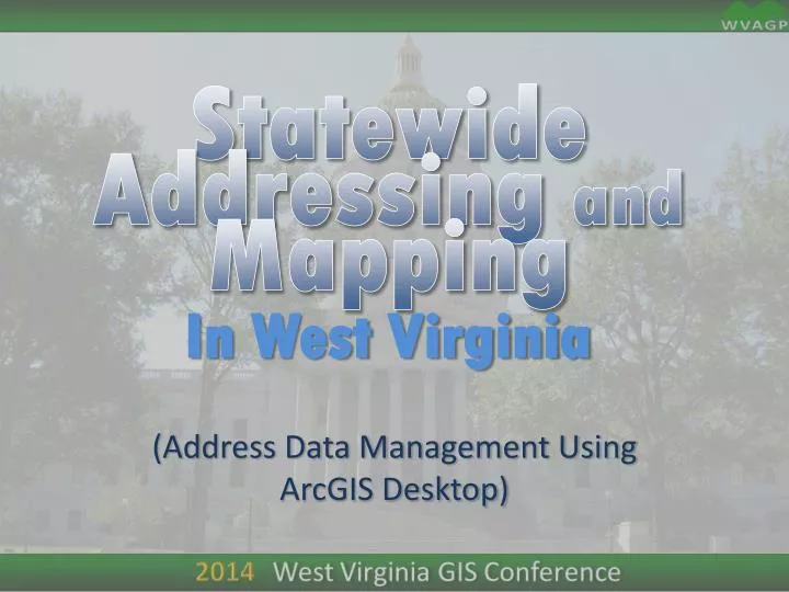
Statewide Addressing and Mapping In West Virginia (Address Data Management Using ArcGIS Desktop)
Primary Data Layers • Sites • Addressable • Non-addressable • Other • Road Centerlines
Secondary Data Layers • ESZ (Emergency Service Zones) • Site Drop Lines – (legacy) • used only to show the connection between site and street • or Address Point (address/driveway point) • Historical Sites • Alternate Streets • Adjacent Geographies • Building Footprints • Bldg_ID • Site_ID Type • Evac Zones • Fire Hydrants • Points of Interest • Basemaps (cloud based) • Aerial Imagery
Non-spatial Tables • OLD addresses (crosswalk table) • Site ID – Structure multi-address table • Municipal Zones • MSAG (Master Street Addressing Guide)
Geodatabase • ESZ (Emergency Service Zones) • Site Status (addressable) • Confirmed • Not Confirmed • Street Centerline • Named, ranged • Named, not ranged • Not Named • Site Drop Lines – (legacy) (LGIM uses address point) • used only to show the connection between site and street • Site with Old Address • Building Footprint • Bldg_ID • Site_ID Type
Geodatabase Domains • ESZ (Emergency Service Zones) • Valid Zones • Site • Confirmed/ Not Confirmed • Site Type • Street Centerline • Name / Alt Names • Road Type • Surface Type • Building Footprint • Bldg_ID • Site_ID Type
Editable Layers • Sites • Street Centerline • ESZ (Emergency Service Zones) • Site Drop Lines – (legacy) • Address Point • Building Footprint
Workflow • Site (New) • Site (Update) • Site Status (addressable) • Confirmed (field verified) • Not Confirmed • Street(New) • Plan • Field (GPS) • Street (Update) • Geometry • Attributes
Workflow –continued • Building Footprint • Aerial update • Temp (Sketch) • Plan (submitted) • Mass replacement • persistent ID through update? • Historical
Discussion! • Notes:
Statewide Addressing and Mapping In West Virginia (SAMS II)
SAMS II • DOES NOT REPLACE CAD SYSTEMS • Web-based Maintenance Tool • Web-based Public Validation Tool • Integrated Disconnected Maintenance
SAMS II • Web-based Maintenance Tool • Portal for Address Data Stewards • Provides address feature editing tools • Sites • Centerlines • Provides unified data model • Core Geometries (Features) • Core attributes
SAMS II • New Site Tools • Each address has a default address range value • may be altered for non-standard communities • Input by X,Y / Lat,Long/ Click on map • Suggested Address Number • Auto-populate fields, based upon selected road centerline • Needs a Left/Right designator • Web-based Public Validation Tool • Integrated Disconnected Maintenance • Feature Access Service? • Distributed GDB replica? • ArcGIS Mobile Compatible?
SAMS II - DEMO • Sneak peak at current development • SAMS II test server