Download
1 / 18
180 likes | 296 Vues
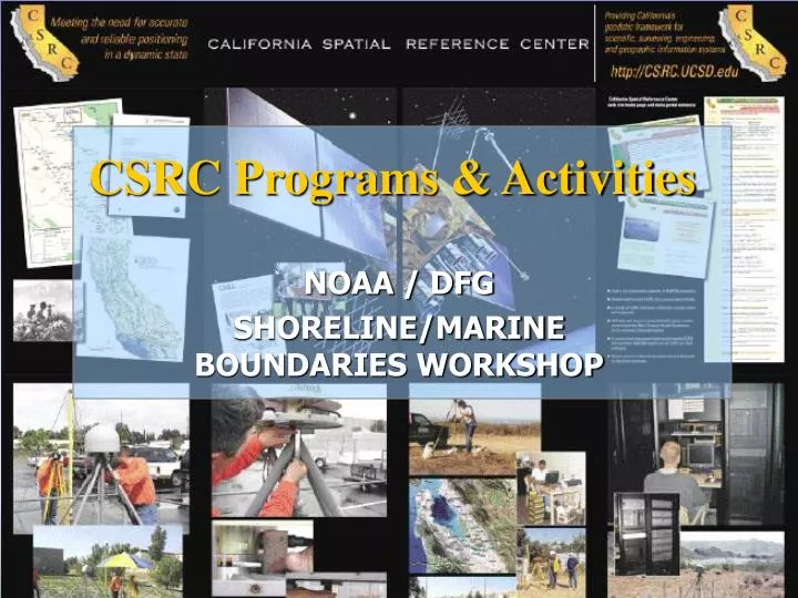
CSRC Programs & Activities. NOAA / DFG SHORELINE/MARINE BOUNDARIES WORKSHOP. California Spatial Reference System. UTC ITRF / EOP NAD / NAVD. Web Interface db Standards & Specifications Post-Processing Apps Real-Time Infrastructure. Orbits Geoid Velocities Tides

E N D
CSRC Programs & Activities NOAA / DFG SHORELINE/MARINE BOUNDARIES WORKSHOP
California Spatial Reference System • UTC • ITRF / EOP • NAD / NAVD • Web Interface db • Standards & Specifications • Post-Processing Apps • Real-Time Infrastructure • Orbits • Geoid • Velocities • Tides • Datum Transformations • Ionosphere/Troposphere • Map Projections • Coordinates & Elevations • Accuracy • CGPS Sites • Passive Monuments • Processing & Analysis • Legislation • Guidelines • Education / Seminars • Meetings & Forums
Geodetic Control Networks Existing Continuous GPS SCIGN SOPAC USGS
Geodetic Control Networks HPGN Epochs1998.50, 2000.35 & 2004.00 Caltrans
Geodetic Control Networks Tuolumne Co Contra Costa Co Yolo Co Glen Co CountiesMonumentataion & Observation
Geodetic Control Networks South SF Bay San Simeon Earthquake San Joaquin Valley CaltransLeveling Hwy 152 & Hwy 198
Geodetic Control Networks Northern California CaltransObservations Leveling Hwy 20
Geodetic Control Networks Planned PBO Sites
CSRS Master Plan Network 2002 Vision 2005 In Progress
Geodetic Models • GPS Orbits • Antenna Phase Center • Ionosphere • Troposphere • Geoid • Velocity Models • Subsidence • Datum Transformations CGPS Long Beach City College Total Electron Content
Spatial Reference System Lexis Geoid 99 to 032cm Contours Data Management Metadata Communication Terminology
Southern California CGPS Leveling Riverside Flood Control MWD
Data Management Infrastructure NGS Data Sheets CSRC Data Portal GPS Seamless Archive L
PGM Data Manager • Organize Campaign GPS Data & Reconnaissance • Provide a Consistent Data Interface • Java 1.4.2 Platform • .XML Data Format National Geodetic Survey
Real-Time High-Rate CGPS County of Orange County of San Diego MWD USGS NASA Research
Central Valley Area RT Network Caltrans
Education and Outreach “Leadership: The art of getting someone else to do something you want done because he wants to do it.” —Dwight D. Eisenhower, 34th President of the United States Conferences Seminars /Workshops Professional Societies L