Download
1 / 27
270 likes | 380 Vues
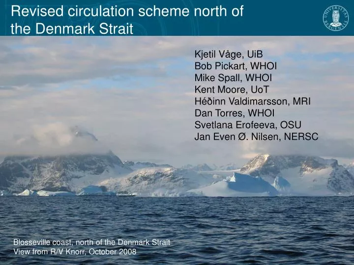
Revised circulation scheme north of the Denmark Strait. Kjetil Våge, UiB Bob Pickart, WHOI Mike Spall, WHOI Kent Moore, UoT H éðinn Valdimarsson , MRI Dan Torres, WHOI Svetlana Erofeeva, OSU Jan Even Ø. Nilsen, NERSC. Blosseville coast, north of the Denmark Strait

E N D
Revised circulation scheme north of the Denmark Strait Kjetil Våge, UiB Bob Pickart, WHOI Mike Spall, WHOI Kent Moore, UoT HéðinnValdimarsson, MRI Dan Torres, WHOI Svetlana Erofeeva, OSU Jan Even Ø. Nilsen, NERSC Blosseville coast, north of the Denmark Strait View from R/V Knorr, October 2008
Revised circulation scheme north of the Denmark Strait - the Greenland-Scotland Ridge 1 Sv = 106 m3/s Exchange across the ridge • Crucial part of climate system • Denmark Strait • Largest overflow plume • Arctic freshwater export from Hansen et al.(2010) theDenmarkStrait - a choke point in the overturning circulation from www.whoi.edu from www.whoi.edu
Revised circulation scheme north of the Denmark Strait - overturning circulation schemes • Transformation within boundary current loop (Mauritzen, 1996)
Revised circulation scheme north of the Denmark Strait - the North Icelandic Jet – another source of overflow water? from Jónsson and Valdimarsson (2004)
Revised circulation scheme north of the Denmark Strait - overturning circulation schemes • Transformation within boundary current loop (Mauritzen, 1996) • Transformation within interior loop (Våge et al., 2011) • Roughly equal contribution from either source
Bathymetry north of the Denmark Strait - the Blosseville Basin
Inflow into the Denmark Strait - present state of knowledge East Greenland Current (EGC) • Two currents advecting overflow water into the Denmark Strait North Icelandic Jet (NIJ)
Observed circulation at the Kögur transect - an unknown current in the interior Blosseville Basin EGC ??? NIJ σθ = 27.8 kg/m3 Greenland Iceland θ = 0oC Mean absolute geostrophic velocity at Kögur computed from 4 realizations EGC: East Greenland Current NIJ: North Icelandic Jet
Observed circulation at the Kögur transect - the separated East Greenland Current shelf break EGC separated EGC NIJ σθ = 27.8 kg/m3 Greenland Iceland θ = 0oC Mean absolute geostrophic velocity at Kögur computed from 4 realizations
Inflow into the Denmark Strait - revised circulation scheme East Greenland Current (EGC) North Icelandic Jet (NIJ)
Mean properties at the Kögur transect EGC: East Greenland Current NIJ: North Icelandic Jet PSW: Polar Surface Water AW: Atlantic Water
Transport estimates - Freshwater Nearly ¼ of the EGC system FW transport takes place in the interior Reference salinity = 34.8
Transport estimates - Overflow water Nearly ¼ of the EGC system FW transport takes place in the interior Reference salinity = 34.8 The majority of the OW approaches the strait along the Iceland slope 0.8 ± 0.3 Sv 1.3 ± 0.4 Sv 1.4 ± 0.3 Sv Total: 3.5 Sv
Historical hydrography - Upper ocean circulation Dynamic height of sea surface relative to 500 db EGC shelf break EGC Iceland Sea gyre separated EGC
Historical hydrography - Near-surface layer Potential temperature Salinity Vertically averaged between 50-100 m (potential temperature) and 10-30 m (salinity)
Numerical simulations - Model domain • MITgcm • Channel oriented along the east coast of Greenland • Southern outflow becomes northern inflow • Salinity restored to initial conditions in the northern end (32 at the surface on the shelf, 35 in the deep interior), temperature is constant • 1 km horizontal resolution, 30 vertical levels • Forced by steady annual mean wind stress
Numerical simulations - Mean sea surface salinity over final 2 years of integration • Sharp gradient near the shelf break at high latitudes supporting a shelf break jet • Offshore diversion of freshwater near y = 500 km
Numerical simulations - Sea surface salinity on day 770 • Eddies and filaments dominate the Blosseville Basin • Freshwater diversion from the shelf break is highly time dependent
Numerical simulations - Temporal evolution of near-surface layer at y = 320 km
Numerical simulations - Eddy scenario • Southward flow inshore of x = 50 km • Offshore salinity front near x = 120 km, coincident with southward flow • The separated EGC arises from eddies that coalesce when encountering the Iceland slope
Revised circulation scheme north of the Denmark Strait The research leading to these results has received funding from the European Union 7th Framework Programme (FP7 2007-2013), under grant agreement n.308299 NACLIM www.naclim.eu