Download
1 / 4
40 likes | 165 Vues
Aviation Decision Support. InFlight and Ground Icing: what do I need to know? Marcia Politovich , NCAR Flight Planning: Where is it? Along my planned route of flight? What altitude? Do I need to de-ice prior to takeoff? Is there freezing precipitation at my destination? When is it?

E N D
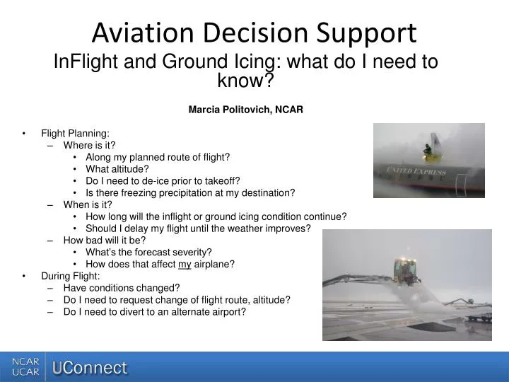
Aviation Decision Support InFlight and Ground Icing: what do I need to know? Marcia Politovich, NCAR • Flight Planning: • Where is it? • Along my planned route of flight? • What altitude? • Do I need to de-ice prior to takeoff? • Is there freezing precipitation at my destination? • When is it? • How long will the inflight or ground icing condition continue? • Should I delay my flight until the weather improves? • How bad will it be? • What’s the forecast severity? • How does that affect my airplane? • During Flight: • Have conditions changed? • Do I need to request change of flight route, altitude? • Do I need to divert to an alternate airport?
How Do We Find This Info? less What are we looking for? Information sources Satellite – horizontal extent of clouds, cloud top temperature, what type of cloud PIREPs – where icing is and is not METARs – precipitation type and amount, cloud cover, ceiling height, cloud layers Radar – extent of precipitation Soundings – temperature and moisture profiles at a point Models – full temperature field, humidity, condensate • Clouds or precipitation • -40C<T<0C • Supercooled liquid water • Narrower T range • Glaciation • LWC • Drop size more
Products That Can Help InFlight icing: • AIRMETs and SIGMETS • National Weather Service forecasts of expected moderate or greater icing over large areas for 6-h periods • SIGMETS • National Weather Service forecasts of severe icing – short term, small area, usually triggered by a pilot reporting severe icing conditions • CIP and FIP • Automated diagnoses and forecasts of icing including probability, expected severity, and potential for large-drop icing • Hourly out to 12 h, with 20-km/1000-ft resolution • TAFs • Show forecast conditions at airports • Various vendor products • These supplement the products above with different displays and content, and can be free to the public or available via a subscription service
Your Web Resources • NCAR Research Application Lab, Aviation Applications Program • http://www.ral.ucar.edu/aap/ • Aviation Digital Data System – ADDS Your one-stop-shopping place for AIRMETS, SIGMETS, surface conditions, TAFS, and automated CIP/FIP guidance over the CONUS • Operational: http://www.aviationweather.adds.gov/adds/ • Experimental: http://weather.aero/ • Aviation Weather Center: http://www.aviationweather.gov/ • Additional products generated by NWS • Alaska Aviation Weather Unit: http://aawu.arh.noaa.gov/ • Provides AIRMETS and SIGMETS for Alaska