Download
1 / 14
140 likes | 209 Vues
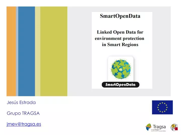
Jesús Estrada Grupo TRAGSA jmev@tragsa.es. Project Overview. SmartOpenData is creating a Linked Open Data platform of tools to make public & voluntary GeoSpatial data resources on rural areas - such as national parks.

E N D
Jesús Estrada Grupo TRAGSA jmev@tragsa.es
Project Overview • SmartOpenData is creating a Linked Open Data platform of tools • to make public & voluntary GeoSpatial data resources on rural areas - such as national parks. • available to SMEs in a way that will enable them to create new services & products. • Based on the practical needs & experience of 5 Demonstration Pilots • SmartOpenData aims to help bridge the gap between • GeoSpatial Data - from the SDI/INSPIRE “world” • OGC (Open Geospatial Consortium) – standards setting • Linked Open Data (LOD) - from the Semantic Web “world” • W3C (World Wide Web Consortium) – collaborative movement
The Consortium Industry SMEs Duration: 24 meses Started: End 2013 EU Contribution: 2.4 M € Public Bodies Academia
The Consortium - II • Involves 16 partners from 9 countries • Public Bodies, • Academic Researchers, • Industry • SMEs • Project started in November 2013 & will run for 2 years. • See www.smartopendata.eu 1 1 3 3 1 1 1 2 3
Demonstration Pilots • Environmental Conservation – Ireland • Focused on biodiversity & habitats data for researchers & decision makers in management & conservation of the Burren & other National Parks. • Water monitoring – Italy • Will explore the role of aggregating information from different Open Data sources to provide up to date monitoring of water quality in Sicily. • Forest sustainability – Czech Republic • Forest site classification, sustainable management & utilisation of forest roads using the National Forest Inventory & Regional Plans for Development datasets. • Environmental data reuse – Slovakia • Will deploy two types of web applications to achieve reuse of environmental data & information in line with the European Open Data Strategy. • Agroforestry Management – Spain & Portugal • Will focus on building a web based collaborative Spatial Data Infrastructure to promote sustainable agroforestry management, environment protection, rural economic development, water management & drinking water protection.
SmartOpenData Irish Pilot • The Irish pilot will access & aggregate sources to impact on biodiversity, by allowing them to seamlessly bridge the gap between the “worlds” of open data & INSPIRE geo-spatial sources forEnvironmental Conservation. • Focusing on European protected areas & its National Parks, • Starting with the Burren National Park in Ireland. • To demonstrate the value of SmartOpenData in helping Researchers & Decision Makers to better manage, preserve, sustain & use this unique ecosystem. • Pilot will explore: • Discovery, seamless use & mashing together of sources to address immediate biodiversity research issues. • Overcoming the barriers (cultural, political, administrative) to opening up the data • Overcoming technical incompatibilities of datasets in terms of technical standards, semantic structuring etc. • Validation of the SmartOpenData platform in the aggregation, analysis & visualisation to support decision making of the various research & other stakeholders requirements, & the value-add/impact on their work
SmartOpenData Irish Pilot Burren National Park, Co. Clare, Ireland • 1,500 hectares on the west coast of Ireland • Managed by the Irish National Parks & Wildlife Service • An unique area of high conservation value • containing many habitats of international importance • including limestone pavement, calcareous grassland, oligotrophic lakes, turloughs, hazel scrub & ash/hazel woodland. • Involves many Communities & Europe-wide environmental issues
SmartOpenData Spanish Pilot WEB Editor HTML5 MetadataCatalogGeoNetwork 2.10 Geoportal SDI Geoprocessing and consolidating GIS process DatabasewithSpatialObjectsPostgreSQL / PostGIS, SQLServer, ORACLE INSPIRE Network Services (Download, View and Discovery) WEB ViewerOpenLayers Desktop Editor ARGOS Monitoring and reportingservices Geospatial Data Server GeoServerGeoWebCache 1.5, SDG Open SourceLocation Business IntelligenceBalancedScorecardSpagoBI 4.0 Cartographic Apps Android+iOSViewer and AugmentedReality GazeteerServiceDeegree 3.3.3
Current Technical Architecture Scenario for researchers Scenario for companies Scenario for end-users Front-End Distributed Data Access Distributed Semantic Indexing SPARQL-ED ETL/Indexing Pipeline Semantic Server SefaradFaceted Search SirenDB Entity Extraction Pipeline Administration and Notification Admin Notification SmartOpenData System Open Data Source Layer ... ... ... Harmonisation of data Sources Data Sources
SmartOpenData Services • The SmartOpenData project could offer to AIP7 • Discovery • Metadata harvesting & Publishing. • Data services • Distributed open data services • Registry services • GeoSPARQL tools • RSS/GeoRSS • KML/KMZ • Transformation • Workflow management • Classic Datasets to RDF • Monitoring • Social Networks & Media
SmartOpenData Data Flow Internal Interfaces to be documented Internal Interface to be documented Semantic Server Front-End ETL/Indexing Pipeline SirenDB Real or conceptual DB store to be documented Entity Extraction Pipeline Open Data Source Layer ... ... text text External data Sources Local data Sources
SmartOpenData Data Sets • The current SmartOpenData Datasets:
Questions? Jesús Estrada jmev@tragsa.es +34 91 322 6693 Thank You