Download
1 / 17
200 likes | 221 Vues
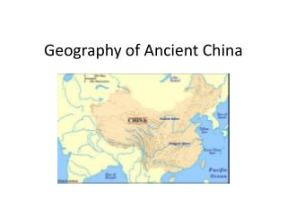
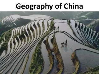
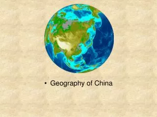
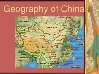
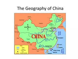
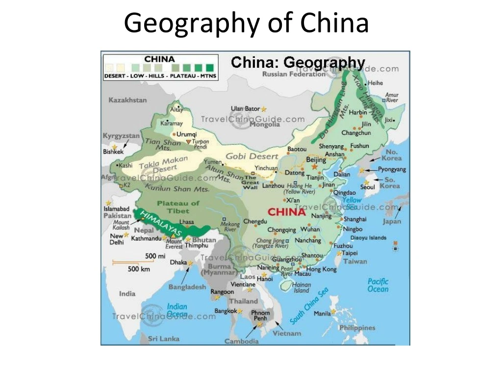
Geography of China. China is located in East Asia. 1- Yellow River. Also known as the Huang Ho The 6 th longest river in the world 3,400 miles long Yellow because of a sediment called Loess found in the water. Yellow River.

E N D
1- Yellow River • Also known as the Huang Ho • The 6th longest river in the world • 3,400 miles long • Yellow because of a sediment called Loess found in the water
Yellow River • Sediment builds up in the river, forming natural dams. These natural dams cause major floods • Known as “China’s Sorrow” because floods have devastated the area
2- Yangtze River • The longest river in Asia. The 3rd longest in the world • 3,900 miles • Major flooding • Home to Three Gorges Dam, the largest dam in the world
3- East China Sea • Large sea that borders China, the Korean Peninsula, Japan, and Taiwan • The Yangtze River flows into the East China Sea • Dense population on the east coast
4- Yellow Sea • Located between mainland China and the Korean Peninsula • The northern part of the East China Sea • It is yellow due to sand particles from the Gobi Desert and sediment from the Yellow River
5- South China Sea • Borders China, Taiwan, the Philippines, Indonesia, Singapore, Malaysia and Vietnam • 1/3 of all the world’s ships passes through the South China Sea • Contains over 250 islands- most uninhabited.
6- Plateau of Tibet • Called the “Roof of the World” • The world’s highest and largest plateau • About four times larger than France • Stretches 1,600 miles east to west and 620 miles north to south
Plateau of Tibet • Average height is 16,000 feet (about 3 miles high) • Since the Himalayan Mountains block rain clouds, it is usually very dry
7- Gobi Desert • Located in present-day Mongolia • The fifth largest desert in the world • The largest in Asia • 1,000 miles long and 500 miles wide • A rainshadow desert: • The Himalayan Mountains block rain clouds
Gobi Desert • Cold Desert • Located far north • High elevation (on a plateau) • Extreme temperatures: Parts of the Gobi Desert can change up to 95 degrees in 24 hours • Record High: 122 ̊̊ F • Record Low: -43 ̊̊ F
8- Korean Peninsula • Today, the countries of North Korea and South Korea are located here • Seperated from mainland China by the Yellow Sea
Population Density Map of the World • Almost half of the world’s population lives in India and China • China: 1.3 Billion People • India: 1.1 Billion People • United States: 300 million People