Download
1 / 25
250 likes | 399 Vues
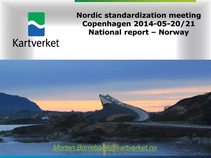
Nordic standardization meeting Copenhagen 2014-05-20/21 National report – Norway. Morten.Borrebaek@kartverket.no. Outline. Standardization (“ Standarder Geografisk Informasjon ”) Revised standards New standards National standardization (Standards Norway) Involvement in CEN/TC 287

E N D
Nordic standardization meeting Copenhagen 2014-05-20/21 National report – Norway Morten.Borrebaek@kartverket.no
Outline Standardization (“StandarderGeografiskInformasjon”) Revised standards New standards National standardization (Standards Norway) Involvement in CEN/TC 287 Involvement in ISO/TC 211 Involvement in OGC Standardization strategy Major projects in NMA
Revised standards - SOSI SOSI part 1 – General concepts • Part 1 – Introduction • Part 1 – General concepts ? • Part 1 – Common types • Part 1 – Geometry and topology • Part 1 – SOSOiproductspecifications – requirements and approval • Part 1 – Rules for UML modelling • Part 1 – Realisation in SOSI syntaks • Part 1 – Realization in GML
New/revised standards - SOSI SOSI part 2 – Feature catalogue: Under revisions: New/Revised • Adm. and statistical areas • Contanimation • Outdoorlife • INON (Areas in Norwayfreeofintervention) • Landscape • Aviation-restrictions • Adresses (4.5) • Buildings (4.5) • Regional planning (4.6/4.6.1) • Graveyard • Planning – Svalbard (4.5) • Land property, land parcels Expectedrevisions • Geology (several)
New/revised standards - Other Under revisions: New/Revised • Geodata standard • Positioning services – real time
SOSI modelrespository Managed by Norwegian MappingAuthority Nowalso hosting the European Location Frameworkmodelrepository
Norwegian Standards 45 Norwegian standards / revised standards– all adopted from CEN/TC 287 and ISO/TC 211
ISO/TC 211 Commitments Chair Olaf Østensen Secretariat Bjørnhild Sæterøy WG4 Convenor Morten Borrebæk Project leaders: ISO 19103 - CSL Kent Jonsrud ISO 19109 – RFASteinar Høseggen ISO 19119 - Services Arne Jørgen Berre ISO 19135 -1 Proc. for item registr. Morten Borrebæk ISO 19147 – Transfer nodes Trond Hovland Editors: ISO 19147 – Transfer nodes Trond Foss Experts: ISO 19103 - CSL Steinar Høseggen (EC) ISO 19101 - Reference model Morten Borrebæk ISO 19109 - RFA Kent Jonsrud/ErlingOnstein
ISO/TC 211 Commitments Experts (cont): ISO 19110 Erling Onstein ISO 19160-1 Addresses Knut Jetlund ISO 19162 Well known text repr. of coordinate reference systemsOdd Arne Steinlein ISO 19147 – Transfer nodes MaritNatvig Advisory group on strategy Morten Borrebæk JAG (ISO/TC 211 and OGC) Morten Borrebæk TMG Convenors HMMG Convenors/ project leaders PMG Morten Borrebæk XML – MG Kent Jonsrud /Erling Onstein Ad hoc GIS/BIM Erling Onstein (Inger Hokstad fra ISO/TC 59/SC 13).
CEN/TC 287 Head of delegation Morten Borrebæk Delegation Expert contribution - national None Expert contribution contracted by JRC: Dr. Arne J. Berre Last meeting : Frascati (Sept 2013).
OGC Statenskartverk – Still full member of OGC: Contact person: Morten Borrebæk Experts: Morten Borrebæk Last meeting – Frascati, Italy – Sept 2013
Strategywork for the SOSI standardization Scenario 2020 Komplexity Not done – but not forgotten Issues to be discussed : • During revisions of national application schemas related to the INSPIRE I-III themes, seriously consider the INSPIRE data specifications. • Consider the applicability of the use cases who were the basis for the specifications for Annex I – III. • Consider appropriate revisions in the SOSI standards and related product specifications.. • In 2020 we should have seriously considered all optional (and voidable) feature types and attributes (including assocaitions) defined in Annex I-III, and included in our standards those elements who have considered to be important.
Trends withspecialfocus in the workwith the strategy • A globalized mapping business • The modelledreality • Sensors and satellites • The fight of resources • Security and crisismanagment • International labour • Increasedpressure on public sector
Trends and challenges • More focussedtasks • Draw the line for authorative data • Do the right things vs. doingthings right • Productionprocesses • More efficientproduction • Innovation/disruption • New methods for aquisition and updating • satellites • Crowdsourcing • Maintenance • Strategy for maintenance of basic (primarely) geodata
4 NMA projects in the picture • National Geoportal • Geosynchronization • National DetailedElevationmodel • ELF • New National database ofGeotechnicalBoreholes
New national Geoportal - version 1 Launched May 9th. www.geonorge.no Content: Web pages: Epi-server Articles from Norway Digital Metadata catalogue (GeoNetworks) Metadata editor (developed in project) Metadata validator (developed in project) Mapclient (www.norgeskart.nodevelopedinhouse NMA) Autentification and accesscontrol (BAAT, Shibbolethlinkedtogether in GeoNetworkswithsomemodifications) SOSI/Inspire feature catalogue
Development in cooperationwith Digital Norway Agile development
The Geosynchronization project • Led by the Mapping Authority • Supported by Ministry of Environment • Participants: GIS providers, Municipalities and NALRA (Norwegian Associaton of Local and Regional Authorities)
Targets 1: Standardisation (June 2013) National standard for syncronization of geographicinformationbetween data systems developed Ver 1.0 2: Develop a commoncomponent (Nov 2013) Developed a commoncomponent for synchronization of databases withgeographicinformation 3: Testing/Pilots (fall 2014) Test of synchronisation of geographicinformationbasedupon standard (1) and commoncomponent (2) in pilot projects
National detailed Digital ElevationModel Preliminary project
Detailedelevation data canprevent loss of lives and values, and willgivesocioeconomicprofit • increasedreadinessagainstclimatechange • improvedprotectionagainstflooding, landslides and avalanches • adaptingthe land use to climatechanges • more efficient land use planning both on land and in thecoastalzone • betterprotection of agricultural areas and soilerosion • safer air services • betterknowledgeaboutforestryresources and carbonfixation • goodpossibilities for new business
Requiresdetailed input Detailedtopographic data (laserdata as a basis for making the DTM) Meteorological parameters Modelling of outflowdistancedynamicmodels Source: http://ramms.slf.ch/
Method for data aquisition • Project period 2015 -2019 • Total area 350 000 km2 • New measurementslidar 2 pt/m2, 260 000km2 • Image matching in mountainous areas, and use of existinglidar data of covering > 100 km2 and producedafter 2010 • A test project in the coastalzone (0-5m) • Higherpointdensity (up to 5 pt/ m2) - additionalcostfunded by interestedparties Total costs (maintenancesolutionincluded) € ~38 mill NOK 302 mill
Geotechnicalboreholes WEB innsyn OWL/RDF GML Skjema? Doku- mentasjon Objkat. database GML skjema (ISO 19136) EA-tool Replikering ISO tool Shape ChangePlug-in Dokumenta-sjon SOSI.kontr. Parameter- filer SOSI Plug-in SOSI modell- register xls XML 19110+ Kontroller ”Solid ground”? GisTools TKN XML (ISO 19139) Eksempel generator SOSI syntaks OWL/RDF mapping SOSI DOT Format ESRI UML modell Andre systemer Postgis Geoserver FME Excel- mappingfiler ESRI database Auto matisk STU/2013-11-19