1 / 13

第一节 秦岭 ---- 淮河线

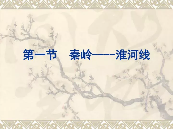
第一节 秦岭 ---- 淮河线. 秦岭. 秦岭主峰 -- 太白山. 宝成铁路秦岭段. 淮河. 入海口. 夺淮入海. 淮河污染. 50 年代淘米洗菜 60 年代洗衣灌溉 70 年代水质变坏 80 年代鱼虾绝代. 银装素裹. 北方. 水乡泽国. 南方. 一月均温 0 等温线. 。. c. 秦岭淮河一线的地理意义. ( 1 )我国 的分界线。 ( 2 )我国 的分界线。 ( 3 )我国 的分界线。 ( 4 )我国 线。 ( 5 )我国 线。. 南方和北方. 半湿润区和湿润区. 暖温带和亚热带. 800mm 等降水量线.

Télécharger la présentation

第一节 秦岭 ---- 淮河线

An Image/Link below is provided (as is) to download presentation Download Policy: Content on the Website is provided to you AS IS for your information and personal use and may not be sold / licensed / shared on other websites without getting consent from its author. Content is provided to you AS IS for your information and personal use only. Download presentation by click this link. While downloading, if for some reason you are not able to download a presentation, the publisher may have deleted the file from their server. During download, if you can't get a presentation, the file might be deleted by the publisher.

E N D

Presentation Transcript


  1. 第一节 秦岭----淮河线

  2. 秦岭

  3. 秦岭主峰--太白山

  4. 宝成铁路秦岭段

  5. 淮河 入海口 夺淮入海

  6. 淮河污染 50年代淘米洗菜 60年代洗衣灌溉 70年代水质变坏 80年代鱼虾绝代

  7. 银装素裹 北方 水乡泽国 南方

  8. 一月均温0 等温线 。 c 秦岭淮河一线的地理意义 (1)我国的分界线。 (2)我国的分界线。 (3)我国的分界线。 (4)我国线。 (5)我国线。 南方和北方 半湿润区和湿润区 暖温带和亚热带 800mm等降水量线

  9. 1.耕地类型:南( )北( ) 2.粮食作物:南( )北( ) 3.糖料作物:南( )北( ) 4.1月份平均气温:南( )北( ) 5.交通运输:南( )北( ) 6.冬季河流:南( )北( ) 7.工业结构:南( )北( ) 8.年降水量:南( )北( ) 9.方言种类:南( )北( ) 水田 旱地 水稻 小麦 甘蔗 甜菜 >00 <00 船 马 不结冰 结冰 轻 重 >800毫米 <800毫米 多 少

  10. 北方地区 西北地区 青藏地区 南方地区

  11. 中国的四大地理区域 界线A 界线B B A 界线C C

More Related