Download
1 / 27
270 likes | 280 Vues
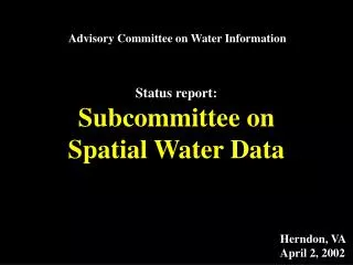
Advisory Committee on Water Information. Status report: Subcommittee on Spatial Water Data. Herndon, VA April 2, 2002. Integration of key Spatial Water Datasets. National Elevation Dataset. National Hydrography Dataset. NED-Hydrology. Watershed Boundary Dataset. Hydrologic Units.

E N D
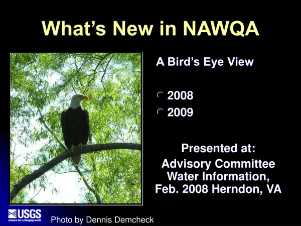
Advisory Committee on Water Information Status report: Subcommittee on Spatial Water Data Herndon, VA April 2, 2002
Integration of key Spatial Water Datasets National Elevation Dataset National Hydrography Dataset NED-Hydrology Watershed Boundary Dataset
Hydrologic Units Where are we? 2-digit= 1st level = 22 regions 4-digit= 2nd level = 222 subregions 6-digit= 3rd level = 789 accounting 8-digit= 4th level = 2223 cataloging new! 10-digit= 5th level = ~22,000 watersheds 12-digit= 6th level = ~160,000 subwatersheds
1999 1997 1/50 5/50 2000 2001 19/50 19/50
2002 23/50
2002 23/50
COMPLETED 12/31/2002 Project Status
Additional efforts . . . • Full-time coordination • larger review team in place (NRCS, USFS, USGS, BOR, NOAA) • Full-time coastal watershed assistance • Increased assistance to States (EPA, NOAA, USGS) • Identified lead agency in key states • Complete package tools and data for semi-automated delineation of watersheds
EDNA [alias NED-H] 2001 STAGE 1
EDNA [alias NED-H] 2002 COMPLETE FOR CONTIGUOUS U.S.!! STAGE 1
Reach Catchments 5000pixels 2 sq.miles!
Subcommittee on Spatial Water Data Coastal Watersheds Work Group Guidelines Work Group FGDC HUC Interagency Guideline
www.ftw.nrcs.usda.gov/huc_data.html Current version of the HUC GUIDELINES . . .
Review . . . . historically: NRCS certification currently: Subcommittee review
Subcommittee on Spatial Water Data Coastal Watersheds Work Group Guidelines Work Group FGDC HUC Interagency Guideline
NOAA/NOS Implementation • Pilots • Coastal delineation guidance • state/coast implementation • Assisting state groups • Workshops • Data and data manipulation • One-on-one with States
Subcommittee on Spatial Water Data Coastal Watersheds Work Group Hydro Standard Work Group Guidelines Work Group National Hydrography Framework Standard FGDC HUC unified Guideline
National Hydrography Framework Standard • Develop formal Content Standard for Hydrography. • describe a general model (a data dictionary, definitions, relationships) • application-independent, • supportsinternational standards • facilitates the exchange of data.
EGOV Initiative Geospatial One-Stop • Key points: • To provide fast, low cost, reliable access to geospatial data needed for government operations • To facilitate interactions needed for vertical missions such as Homeland Security • To establish a methodology for obtaining multi-sector input
EGOV Initiative Geospatial One-Stop • Key points (continued) • Develop and implement Framework Data content standards • Elevation • Orthoimagery • Hydrographic Data • Administrative Boundaries • Transportation Networks • Cadastre • Geodetic Control • Establish comprehensive Federal Portal • Managed by John Moeller, FGDC & Scott Cameron, DOI with great interest from Mark Foreman, OMB
CRWR Arc GIS Hydro Data Model David R. Maidment Director, Center for Research in Water Resources University of Texas at Austin
Bringing together these two communities by using a common geospatial data model http://www.crwr.utexas.edu/giswr CRWR GIS CRWR GIS in Water Resources Consortium Water Resources
ArcHydro is complete! Geodatabase Book Series Geodatabase models for application areas General Geodatabase in ArcInfo 8
closing thoughts . . . • Hydrography presentation by David Maidment, Thurs morning, ESRI Federal User Group, Washington, DC Convention Center • WR Consortium Symposium, “Digital Elevation for WR Applications”, September (LIDAR, digital bathymetry, DEM, NED etc.)