Download
1 / 17
180 likes | 315 Vues
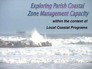
Lidarbathymetry in the context of coastal protection. HUSUM. Schleswig-Holstein State Agency for Coastal Defence, National Park and Marine Conservation (LKN-SH). The Masterplan Coastal Protection. Baltic Sea. Nord Sea. Lengst of coastline ca. 640 Kilometer. Lengst of coastline

E N D
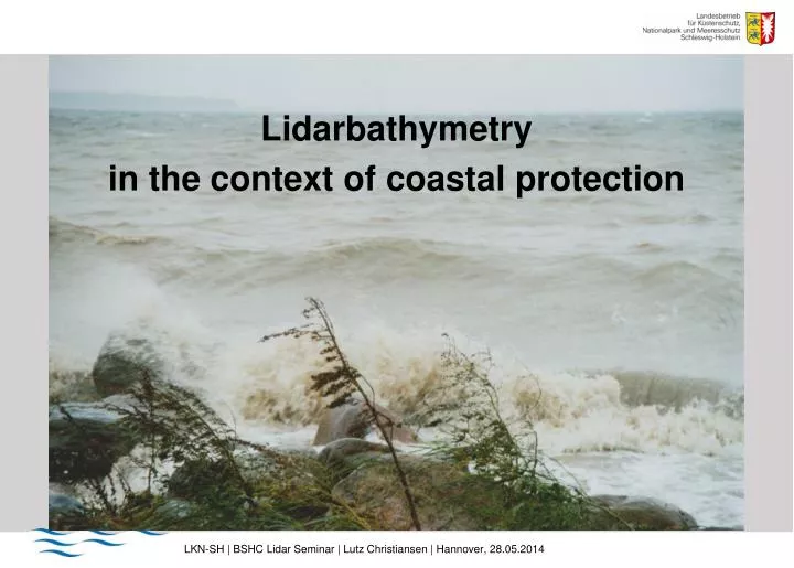
Lidarbathymetry in the context of coastal protection LKN-SH | BSHC Lidar Seminar | Lutz Christiansen | Hannover, 28.05.2014
HUSUM Schleswig-Holstein State Agency for Coastal Defence, National Park and Marine Conservation (LKN-SH) LKN-SH | BSHC Lidar Seminar | Lutz Christiansen | Hannover, 28.05.2014
The Masterplan Coastal Protection Baltic Sea Nord Sea Lengst of coastline ca. 640 Kilometer Lengst of coastline ca. 550 Kilometer How to protect? dykes state SH: 433 km dykes regional: 96 km 2. Dyke line: 570 km constructions: 140 What to protect? area: 3.900 km² (25%, 15800km²) inhabitants: 354.300 (12%, 2,8Mio) values: 48,7 Mrd. € LKN-SH | BSHC Lidar Seminar | Lutz Christiansen | Hannover, 28.05.2014
Department of Survey: Tasks North Sea Baltic Sea • Preliminary work for coastal protection measures • (Vorarbeiten zu Küstenschutzmaßnahmen) • Planning principles for coastal protection measures • (Planungsgrundlagen für Küstenschutzmaßnahmen) • Conservation of evidence after planning approval • (Beweissicherung nach Planfeststellungen) • Monitoring programms for technical plannings • (Monitoring-Programme gemäß Fachpläne) • Legal duty to maintain saftey in different habours • (Verkehrssicherung in landeseigenen Häfen) • Dewatering • (Vorflutsicherung) • Data basis for GIS/CIS • (Grundlagen im Rahmen des Mess- und Beobachtungsdienstes, Datenvorsorge KIS) LKN-SH | BSHC Lidar Seminar | Lutz Christiansen | Hannover, 28.05.2014
Proceedings Terrestrial Survey HydrographicalSurvey Lidar, Orthofotos LKN-SH | BSHC Lidar Seminar | Lutz Christiansen | Hannover, 28.05.2014
Baltic Sea Conditions for survey Shallow water down to one meter only terrestrial survey Lidar and terrestrial survey Hydrographicalsurvey Goal for coastal protection: complete survey of the whole area without a gap LKN-SH | BSHC Lidar Seminar | Lutz Christiansen | Hannover, 28.05.2014
Conditions for Lidarbathymetry Secchi depths 3m 4m 3m 5m 1-1.5m LKN-SH 4m 5m 3m LLUR 0-0.5m 5m LKN-SH | BSHC Lidar Seminar | Lutz Christiansen | Hannover, 28.05.2014
First test in 2012: area Probstei 600m flying height 450m bandwidht 20 bis 40 points/m² multiple flight Riegl VQ-820-G (1Secchi) Secchi ca. 4 – 5 m Laserbathymetry LKN-SH | BSHC Lidar Seminar | Lutz Christiansen | Hannover, 28.05.2014
LBathy Probstei 2012: view LKN-SH | BSHC Lidar Seminar | Lutz Christiansen | Hannover, 28.05.2014
LBathy 2012: colored points LKN-SH | BSHC Lidar Seminar | Lutz Christiansen | Hannover, 28.05.2014
LBathy 2012: DTM whole area LKN-SH | BSHC Lidar Seminar | Lutz Christiansen | Hannover, 28.05.2014
LBathy 2012: DTM Marina Wentorf LKN-SH | BSHC Lidar Seminar | Lutz Christiansen | Hannover, 28.05.2014
Lbathy 2012: accuracy LKN-SH | BSHC Lidar Seminar | Lutz Christiansen | Hannover, 28.05.2014
Valuation Probstei 2012 • Depths down to 5 meter area-wide • Correlates with 1 secchi (4-5 m) • Accuracy (10-20 cm) near hydrographical accuracy • Most of the area of interesting for coastal protection LKN-SH | BSHC Lidar Seminar | Lutz Christiansen | Hannover, 28.05.2014
Summary • Laserbathymetry • Dry land and shallow water areas without a gap • Depth is dependend on turbidity • Shallow water systems (1 Secchi-depth) • Deep water systems (2 to 3 Secchi-depths) • accuracy (declaration of the producer) • Shallow water systems : horizontal 0,5 m, vertical 0,1 bis 0,2 m • Deep water systems : horizontal 2 m, vertical 0,2 bis 0,3 m • Systems are in strong development this time LKN-SH | BSHC Lidar Seminar | Lutz Christiansen | Hannover, 28.05.2014
Area of Laserbathymetry The whole coastline (ca. 640km, ca. 800km²) from the buildungs of coastal protection on the dry land down to 3-5m (1Secchi), Minimum: data until the area of hydrographic survey Baltic Sea LKN-SH | BSHC Lidar Seminar | Lutz Christiansen | Hannover, 28.05.2014
Tender in 2013, realization in 2014 • Several morphological structures: • Baltic Sea • Overhanging trees, • coastal wood, • stones, • footbridges, • Underwater vegetation Flights in April 2014 Data evaluation is running Laserbathymetrie ca. 410 km² Thank you for the attention ! LKN-SH | BSHC Lidar Seminar | Lutz Christiansen | Hannover, 28.05.2014