Download
1 / 9
90 likes | 157 Vues
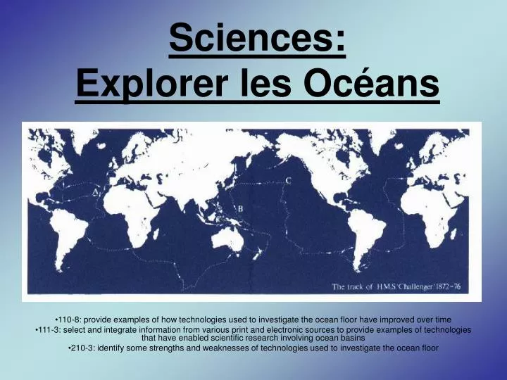
Sciences: Explorer les Océans. 110-8: provide examples of how technologies used to investigate the ocean floor have improved over time

E N D
Sciences:Explorer les Océans 110-8: provide examples of how technologies used to investigate the ocean floor have improved over time 111-3: select and integrate information from various print and electronic sources to provide examples of technologies that have enabled scientific research involving ocean basins 210-3: identify some strengths and weaknesses of technologies used to investigate the ocean floor
HMS Challenger • La première carte du fond de la mer a été dessinée dans les années 1870 par le HMS Challenger. • Le photo a coté démontre le Challenger en train de faire ces recherches.
Des scientifiques a bord du navire d’expedition HMS Challenger ont utilise des films d’acier qu’ils ont descendus a intervalles réguliers jusqu’au fond de la mer.
Cartographie de Sonar: • 2 sondages du fond de la mer ont été fait. • Le premier été en 1996, et le deuxième en 1998. • Ensemble les 2 sondages ont couvertes • 30 000 kilomètres carre. Le même grandeur qu’Écosse Des photographes ont étaient prisent en utilisant un sonore.
Le but était de regarder la texture et surface du fond de la mer, les animaux et les plantes. • Les résultats du sondage ont étaient utilise pour fabriquer nos connaissances du fond de la mer qu’on connais a nos jours.
Les Satellites • Comment penses tu que les satellites sont utilises dans l’étude des océans?
Figure 1: Carte globale du fond de la mer. Cet image est de Geosat et du satellite ERS-1 (Sandwell 1995). Des estimations de la topographie du fond de la mer peuvent etre fait a partir de ces images.
Les Marees • http://sunshine.chpc.utah.edu/labs/tides/tides_main.html
Bibliographie / Ressources • http://life.bio.sunysb.edu/marinebio/challenger.html • http://www.challengeroceanic.com/chal.htm • http://aquarium.ucsd.edu/challenger/index.cfm • http://coexploration.org/bbsr/classroombats/html/body_oceanography.html • http://www.soc.soton.ac.uk/CHD/BOSCORF/history.html • http://www.gesource.ac.uk/worldguide/html/image_2095.html • http://dusk.geo.orst.edu/pg/ • http://www.orlandomapstore.com/catalog/wallmaps/world/worldwallmaps.html