Download
1 / 8
90 likes | 595 Vues
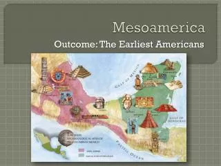
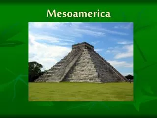
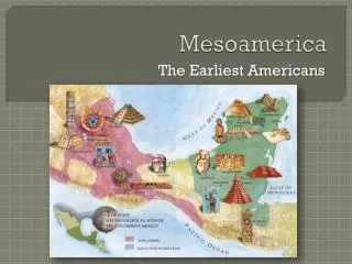
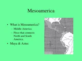
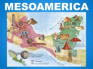
Mesoamerica. 1200 BC. Landforms. Central Mountain range runs through middle Yucatan Peninsula Active Volcanoes Highland Lakes. Climates in Mesoamerica. Most of land in Tropics. Northern section has little rainfall. Elevation shifts determining what kind of crops can be grown.

E N D
Mesoamerica 1200 BC
Landforms • Central Mountain range runs through middle • Yucatan Peninsula • Active Volcanoes • Highland Lakes
Climates in Mesoamerica • Most of land in Tropics. • Northern section has little rainfall. • Elevation shifts determining what kind of crops can be grown.
Think Pair Share • Rewrite using question asked: Why is it important to know the elevation for each civilization?
Slash-and-Burn Agriculture • Soil is fertile near rivers but not in rainforests. • Farmers clear land by cutting trees and using ashes for fertilizer. • Maize. Cacao.
Agriculture creates Urban Societies • Farming leads to settled villages. • Villages gain surplus of crops, encourages population growth and larger villages. • Not everyone has to raise food. Labor Specialization begins. • Villages become cities.
Think Pair Share • Restate question when answering: • How did the geography of Mesoamerica encourage trade?