Download
1 / 13
130 likes | 337 Vues
Use of GIS in the Federal Statistical Office of Germany. Melanie Bodenseh Executive Officer Federal Statistical Office Germany Graurheindorfer Strasse 198 53117 Bonn, Germany Tel : ++49 /611 758171 E-mail : melanie.bodenseh@destatis.de. Halina Stepien Research Assistant

E N D
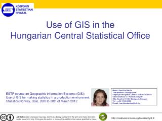
Use of GIS in the Federal Statistical Office of Germany Melanie Bodenseh Executive Officer Federal Statistical Office Germany Graurheindorfer Strasse 198 53117 Bonn, Germany Tel : ++49 /611 758171 E-mail : melanie.bodenseh@destatis.de Halina Stepien Research Assistant Federal Statistical Office Germany Gustav-Stresemann-Ring 11 65189 Wiesbaden, Germany Tel : ++49 /611 754518 E-mail : halina.stepien@destatis.de ESTP course on Geographic Information Systems (GIS): Use of GIS for making statistics in a production environment Statistics Norway, Oslo, 26th to 30th of March 2012 Attribution (by) Licensees may copy, distribute, display and perform the work and make derivative works based on it only if they give the author or licensor the credits in the manner specified by these. http://creativecommons.org/licenses/by/3.0/
Software and organisation • ArcGIS 10 (Esri) • GIS-Server • 75 colleagues have access (from ca 2700) • 13 licences at the same time
Geobasis data in Destatis • Administrative borders (NUTS, municipalities…) • ATKIS (geotopographic database) • DLM (digital landscape model) • DTK (digital topographic maps) • DSK (digital city maps) • DOP (digital orthophotos) • DGM (digital terrain model) • House coordinates (Georeferenced building addresses)
Use of GIS in production • Agricultural statistics • Statistics on inland waterways • Statistics on traffic accidents • Definition of election districts • Water statistics • Census
GIS in Water Statistics Map of the municipalities Map of the Planunits
Overlay of municipalities and planunits 16 % 84 %
Quality assurance of the register of addresses and buildings (AGR)
Quality assurance of small-area breakdowns and of the data linkage
Designation of contiguous built-up areas („EU-Place“) Municipality Residential buildings with 100 metre buffer zone EU-Place
General rules for handling confidentiality • Assurance that the gathered data is used only for statistical purposes • The data will not be shared with any other private or federal institutions • Any violation will be punished