Download
1 / 31
310 likes | 455 Vues
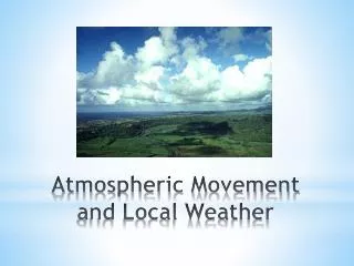
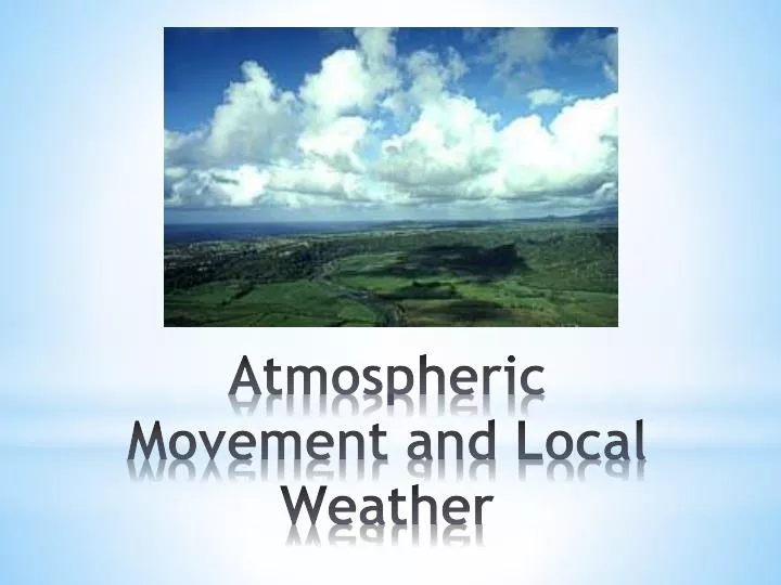
Atmospheric Movement and Local Weather. Air Masses. Air Pressure. MoreDirect Sun Hot. 0 o Equator. 90 o S. 60 o N. 90 o N. 30 o S. 60 o S. 30 o N. Convection Currents. Global Convection Cells. Global Wind Patterns. The Coriolis Effect.

E N D
MoreDirect Sun Hot 0 o Equator 90 o S 60 o N 90 o N 30 o S 60 o S 30 o N
http://www.youtube.com/watch?v=i2mec3vgeaI The Coriolis Effect Animation
Forms high in the upper troposphere between two air masses of different temperatures • Higher temperature difference = faster speed • Due to the Coriolis Effect, it flows around air masses. • Polar Jet: • It dips southward when frigid polar air masses move south. • It tends to stay north in the summer months. Jet Stream
http://www.youtube.com/watch?v=CgMWwx7Cll4 Jet Stream Animation
Why does the Earth have wind? Reflection Question
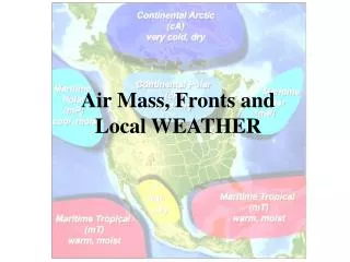
When convection and winds cause air masses to move, they bump into one another. • The area where two air masses meet is called a front. • Most severe weather occurs near frontal boundaries. Fronts
Cold Front- Cold air meets warm air- Fast moving and stormy-Severe weather is likely.
Warm Front- Warm air meets cold air- Slow moving with less severe weather
Warm and cool air masses that are not strong enough to move one another • Sits still for a long period of time Stationary Front
Air pressure is measured with a barometer in millibars. • Millibars are represented by connected lines of equal pressure. This is a lot like the topographic map lines. • The closer together the lines are, the faster the wind speed. • The farther apart the lines are, the slower the wind speed. Air Pressure and Wind
The Sun heats the water and land every day. • Land heats up rapidly, but cools off rapidly. • Desert • Water heats up slowly, but cools off slowly. • Swimming at night • The heat retained by the oceans is what keeps our planet insulated. The Earth’s Insulator
The heating and cooling of water and land produces land breezes and sea breezes. • High pressure moves toward low pressure, pushing the warm air upward. • As warm air rises, cooler air moves in and replaces it. Land and Sea Breezes
http://www.youtube.com/watch?v=gM0d3fGew-0 • http://www.youtube.com/watch?v=--faa2w_NJo Sea Breeze and Land Breeze Animation
How do global patterns of atmospheric movement affect local weather? Reflection Question