Download
1 / 13
170 likes | 306 Vues
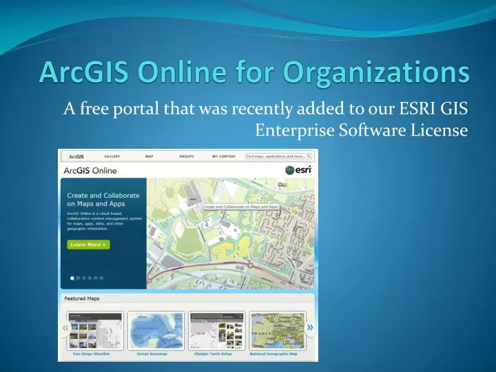
ArcGIS Online for Organizations. A free portal that was recently added to our ESRI GIS Enterprise Software License. simple and cloud based. Portal for the organization’s content. Has different levels of sharing – .

E N D
ArcGIS Online for Organizations A free portal that was recently added to our ESRI GIS Enterprise Software License
Allows the County to provide details and more contacts and links associated with the online maps
Frequently Asked Questions • How much does it cost the County? • What’s the cost to for each site? • Who has access? • How specifically is access governed? • What functionality is available? • What are the best use cases? • How does this save us money? • And how does this move the county depts. forward?
Answers • How much does it cost the County to acquire? • Nothing – It was included in our ELA • What’s the cost to for each site? • It depends on web-traffic – more popular sites use more transactions. We will know after tracking expenses. • Who has access? • Any “named user” – some one with an ArcGIS Global Account – can be granted a level of access.
Answers • How specifically is access governed? • User must be invited in to have special privileges (such as viewing controlled material, or publishing). • What functionality is available? • Basic “were is it at” web map apps can be made in minutes. These were previously referred to as “Mash-ups” in the years past.
Answers • What are the best use cases? • When you need to communicate geospatial information to the public in a quick, simple, and low cost manner. When you want to develop material in coordination with external partner agencies (other governments, NGO, regional entities, etc).
Answers • How does this save us money? • Deployment time can be reduced to minutes for a web mapping mapping app. It is cloud hosted for the backend so extensive hardware is not required. It is linked to the single “source of truth” COSD GIS data warehouse. Always current if maintained. • How does this move the county depts. forward? • Allows a simple and rapid means to communicate geospatial information to their customers, e.g., where is my local library? Allows for ephemeral information to be communicate with low to no costs, e.g., where is the special event this weekend?
Where is it? • http://sdcounty.maps.arcgis.com/apps/PublicGallery/index.html?appid=41789799aaf147b786b903e8b9cf5021&group=22bb9c62051d403883f9ea78e31c22c5%20