Download
1 / 12
120 likes | 209 Vues
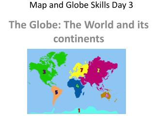
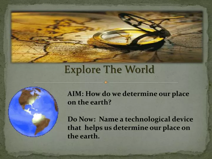
Map Skills – Part 3. Explore The World. AIM: How do we determine our place on the earth? Do Now: Name a technological device that helps us determine our place on the earth. Lesson Objectives. Elements of maps : Latitude Longitude Hemispheres.

E N D
Map Skills – Part 3 Explore The World AIM: How do we determine our place on the earth? Do Now: Name a technological device that helps us determine our place on the earth.
Lesson Objectives Elements of maps: • Latitude • Longitude • Hemispheres
How do We Measure Our Place on the Globe? Lines What are Those Lines Called? Latitude Longitude
Latitude & Longitude • Latitude lines runEastand West • Longitude lines run Northand South • All lines are measured in units ofmeasurement called Degrees
Latitude Lines/Parallels • Drawn East to West • Measured North and Southof the Equator N W E EQUATOR S
Latitude Lines/Parallels • The Equator is known as the Starting Point/Baseline for measuring Latitude. • The Equator is and imaginary line locatedat Zero Degrees - 0° Latitude. • The Equator looks like a belt across the World. It is the halfway point between the North and South Poles. N W E EQUATOR S
La Mitad del Mundo(The Middle of the World) QUITO, Ecuador
Longitude/Meridians • Drawn from Northto South. • Measured from Eastand Westof the Prime Meridian. • The Prime Meridian is the Starting Point/Baseline for measuring Longitude.
Longitude/Meridians • The Prime Meridian is and imaginary line locatedat Zero Degrees - 0° Longitude. It runs through the United Kingdom, France, Spain, western Africa, and Antarctica. • Longitude lines are known as the “long” lines.
Hemispheres • Using the Equator &the Prime Meridian we can cut the Earth into Four (4)Hemispheres. • The Four (4)Hemispheres are: • Northern • Southern • Eastern • Western