Download
1 / 13
130 likes | 225 Vues
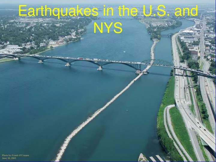
Earthquakes in the U.S. and NYS. Earthquake Hazard Map. www.usgs.gov. States with Most Earthquakes. >1 in 30 years. 0 in 30 years. 3. #. www.usgs.gov. # Earthquakes >3.5 bet. 1974 & 2003. [ 1] USGS Top Earthquake States. URL: http://earthquake.usgs.gov/regional/states/top_states.php

E N D
Earthquake Hazard Map www.usgs.gov
States with Most Earthquakes >1 in 30 years 0 in 30 years 3 # www.usgs.gov
# Earthquakes >3.5 bet. 1974 & 2003 [1]USGS Top Earthquake States. URL: http://earthquake.usgs.gov/regional/states/top_states.php [2]USGS Historic United States Earthquakes. URL: http://earthquake.usgs.gov/regional/states/historical_state.php#new_york
Historical Earthquakes In and Around New York State ref. S. Nikolaou, “GIS for Ground Motion Evaluation in Seismic Bridge Analysis, Bridge Structures: Assessment, Design and Construction, Edited by Khaled Mahmoud, p. 293, 2005
Fault Lines in Manhattan Charles Merguerian from article of “New York News and Features”
Examples of past earthquakes in NYS: • 1884 – New York City - M5.5 • 1929 – Attica, New York – M5.2 • 1944 - Between Massena, NY and Cornwall, Ontario, Canada - M5.8, VIII • 1983 - Blue Mountain Lake, New York - M5.3 • 2002 - Au Sable Forks (Plattsburgh area), NY - M5.1 • 2002 - Plattsburgh Aftershock - M3.6 • 2002 - Redford, NY - M3.3 • 2010 – Southern Ontario, Canada, within 70 miles of NYS - M5.0
26% 28% 19% 18% 31% 35% 21% 13% 23% 14% 37% 36% 24% 25% 14% 36% 53% 19% 11% 39% 27% 19% 29% 24% 16% DC 55% 17% 27% 36% 14% 22% 26% 29% 20% 28% 30% 11% 18% 16% 26% 29% 21% 19% 23% 19% 35% or more 23% 25% 26 - 35% 29% 16 -25% 18% 15% or less 38% 23% Structurally Deficient or Functionally Obsolete Bridges (data from Better Roads Nov. 2009)
Probable Causes • Bridges in the NE are older. (The oldest states and infrastructures are in the Northeast.) • De-icing salts have been used to keep roads safe during hard winters, but they lead to corrosion of structural steel and reinforcing steel • The U.S. steel industry was centered in the NE and bridges have historically been used for bridges. • The NE has major population centers whose growth has caused the older bridge designs to become outdated.
CA State Bridge Inventory 12,559 Bridges • 223 million square feet • Median Age of 41 years Structure Types • 89% Concrete • 7% Steel • 4% Timber Source; Barton Newton, Caltrans 7/1010
Bridges in New York State(state & local) Total highway=17405 Steel=10880 (62.5%) Concrete=5824 (33.5%) The remainder are mostly masonry and timber. We also have about 90 aluminum culverts. Average age: 45 years Source; Norbert Luft, NYSDOT from April 2010 NBI tables