Download
1 / 10
100 likes | 198 Vues
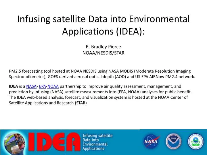
Infusing satellite Data into Environmental Applications ( IDEA): R. Bradley Pierce NOAA/NESDIS/STAR PM2.5 forecasting tool hosted at NOAA NESDIS using NASA MODIS (Moderate Resolution Imaging Spectroradiometer ), GOES derived aerosol optical depth ( AOD ) and US EPA AIRNow PM2.4 network.

E N D
Infusing satellite Data into Environmental Applications (IDEA): R. Bradley Pierce NOAA/NESDIS/STAR PM2.5 forecasting tool hosted at NOAA NESDIS using NASA MODIS (Moderate Resolution Imaging Spectroradiometer), GOES derived aerosol optical depth (AOD) and US EPA AIRNow PM2.4 network. IDEAis a NASA- EPA-NOAA partnership to improve air quality assessment, management, and prediction by infusing (NASA) satellite measurements into (EPA, NOAA) analyses for public benefit. The IDEA web-based analysis, forecast, and visualization system is hosted at the NOAA Center of Satellite Applications and Research (STAR)
NASA MODIS - NOAA GOES- EPA AIRNowData Fusion Improving EPA Air Quality Index (PM 2.5) Forecasting Objective:Near-real-time product for State and Local Air Quality Forecasters Goal: Improve accuracy of next day PM2.5 AQI forecast during large aerosol events http://www.star.nesdis.noaa.gov/smcd/spb/aq/index.php
Operational Use of Satellite Data for Air Quality Index Values Category Cautionary Statements PM2.5 (ug/m3) PM10 (ug/m3) 0-50 Good None 0-15.4 0-54 51-100 Moderate Unusually sensitive people should consider reducing prolonged or heavy exertion 15.5-40.4 55-154 101-150 Unhealthy for Sensitive Groups Sensitive groups should reduce prolonged or heavy exertion 40.5-65.4 155-254 151-200 Unhealthy Sensitive groups should avoid prolonged or heavy exertion; everyone else should reduce prolonged or heavy exertion 65.5-150.4 255-354 201-300 Very Unhealthy Sensitive groups should avoid all physical activity outdoors; everyone else should avoid prolonged or heavy exertion 150.5-250.4 355-424 Can satellite data be used in near-real-time to provide synoptic-scale features for air quality forecast? - PM2.5 levels reached Moderateto Unhealthy for Sensitive Groups on Sept. 8th - 12th, 2003 in the Mid-west. September 5, 2003 Source: US EPA, 1997 September 10
www.hpc.ncep.noaa.gov MODIS Aerosol Optical Depth September 4, 2003 MODIS AOD:color contours, WF_ABBA Fire pixels: purple dots Visible image Aerosol Optical Depth Pacific NW Wildfires Clean air advection behind cold front
www.hpc.ncep.noaa.gov MODIS AOD Trajectory Initialization, Sept. 7, 2003 MODIS AOD: color contours WF_ABBA Fire pixels: purple dots Elongation of high AOD along trough axis Initialization of Trajectories to predict movement of high AOD Merging high pressure systems
24hr Trajectory Forecast with current MODIS AOD September 8, 2003 www.hpc.ncep.noaa.gov MODIS AOD: color contoursWF_ABBA Fire pixels: purple dots Development of high pressure systems over Canada and central US
48hr Trajectory Forecast with current MODIS AOD September 9, 2003 MODIS AOD: color contours WF_ABBA Fire pixels: purple dots www.hpc.ncep.noaa.gov Elevated AOD entrained into merged high pressure system
IDEA Tutorials http://www.star.nesdis.noaa.gov/smcd/spb/aq/index.php?plot_type=tutorial IDEA Homepage http://www.star.nesdis.noaa.gov/smcd/spb/aq/