Download
1 / 16
160 likes | 242 Vues
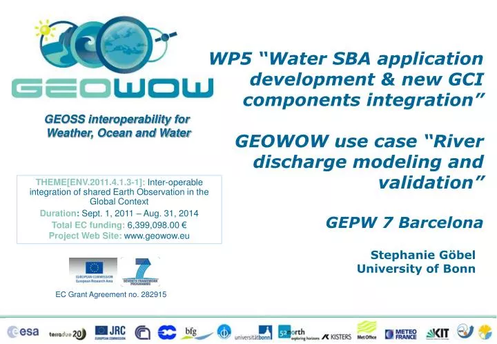
WP5 “Water SBA application development & new GCI components integration” GEOWOW use case “River discharge modeling and validation” GEPW 7 Barcelona. Stephanie Göbel University of Bonn. GEOWOW Overview. GEOWOW Overview. GEO Ministerial 2014:

E N D
WP5 “Water SBA application development & new GCI components integration” GEOWOW use case “River discharge modeling and validation” GEPW 7 Barcelona Stephanie Göbel University of Bonn
GEOWOW Overview GEO Ministerial 2014: ‘Evolved' architecture properly tested and demonstrated within GEOWOW SBA's
Main Objectives • Based on user requirements and recommendations by relevant communities, GCI evolutions are considered and implemented • GEOSS Infrastructure Evolution for all stakeholders (with a particular focus on the ‘WOW’ SBAs): • To facilitate discovery, access and use of EO data • To allow harmonised access to heterogeneous resources • To promote and simplify data sharing • With a particular focus on the GEOSS Data-CORE
Use cases • The GEOWOW proposed evolutions are being prototyped via Use cases. The following are examples. • #Drought - Easy discovery and use of GEOSS resources for addressing multidisciplinary challenges related to drought scenarios • #CoralReefs - A new concept of operation for elaborating environmental indicators • #RiverDischarge– Validated and calibrated forecasting workflow using Ensemble Weather Prediction Systems, a runoff model and in-situ river discharge observations
River discharge • Critical water cycle variable • Long-term observations are essential for many water resource applications, to analyse climate trends, and to assess environmental impacts and risks • (Near)-real-time observations especially relevant for flood forecasting • Observations are used to calibrate hydrological or coupled land, atmosphere and ocean models
River discharge • Under the auspices of WMO, the Global Runoff Data Centre (GRDC) collects river discharge data at daily or monthly intervals from more than 8400 stations in 157 countries • Through the Global Terrestrial Network of Hydrology (GTN-H), GRDC is linked to GEOSS • To support • The climate-related programmes and projects of the United Nations and their special organisations; • The international scientific community on global change, climate and hydrology, research and assessment.
River discharge • GRDC stations with original daily discharge data
TIGGEensemble weather forecasts • TIGGE, the THORPEX Interactive Grand Global Ensemble, is a collection of ensemble weather forecasts from global and regional models, available for scientific research • The ensemble forecasts are made from slightly perturbed initial conditions to capture uncertainties stemming from the initial weather conditions and model errors • GEOWOW will significantly enhance the accessibility of TIGGE archive for the wider user community, an essential requirement to exploit the substantial multi-disciplinary potential in TIGGE data
Application development and GCI components integration • Water Societal Benefit Area (WP5): • Allow discovery, access, and use of GRDC data through the GEOSS Common Infrastructure (GCI) • Standardisation of the exchange of hydrological data (WaterML 2.0 and SOS 2.0 Hydrology Profile) • Towards increased multi-disciplinary interoperability to allow integration of data from different domains • WeatherSocietal Benefit Area (WP4): • Integrate the TIGGE archive into the GEOSS Common Infrastructure (GCI) • Improve the accessibility of TIGGE for long time series of forecast data at user-specified locations • Demonstrate the potential of the TIGGE archive in multi-disciplinary applications
Use case development “Modeling of river discharge using weather predictions and validation based on river discharge observations” • Scenario will provide a use case (#River Discharge) for prototyping additional functionalities and GCI components • To demonstrate the benefits of improved interoperability of domain resources through GCI evolutions Weather prediction Discharge observations Validation / visualisation www.usgs.gov EPS
Use case development Recalibration TIGGE Meteorological Data Modeling River Discharge GRDC Observed River Discharge Data Model results not sufficient Validation SOS 2.0/WaterML2.0 Validation andmodelresultssufficient Visualised Model results SOS 2.0/WaterML2.0 DA Broker
Achievements - Water • Development of OGC SOS Hydrology Profile: optimised interface to access WaterML 2.0 encoded data • Provision of server and client implementations by two project partners:
Achievements - Water • Initial selection of 162 GRDC stations for GEOSS data-CORE • On-going efforts to make more stations accessible 25 Jan 2013
Achievements - Water • 12 Stations in Africa • Develop useful case studies in Africa to demonstrate • the benefits of new GCI functionalities, esp. related to data exchange • the improved data and products access through GEOSS (25 Jan 2013)
WP5 “Water SBA application development & new GCI components integration” GEOWOW Use case “River discharge modeling and validation” ThankYou!